

Toolbox
Basemaps
Ready-to-use basemaps for MapLibre. The free ones need no API key: plug in the style URL and go. To make your own, start with the tiling and styling tools.
No API key
Free to use
Plug the style URL into MapLibre and go.
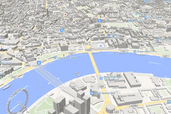
Liberty
OpenFreeMapA free and open street map style with a classic look, based on OSM Liberty.
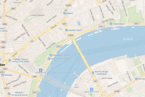
Bright
OpenFreeMapA bright, colorful map style based on OSM Bright.
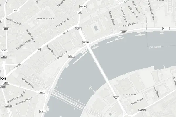
Positron
OpenFreeMapA light, minimal basemap with subtle gray tones. Great as a background for data overlays.
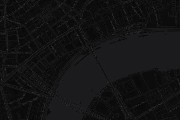
Dark
OpenFreeMapA dark basemap with muted colors, ideal for data visualization and night-mode UIs.
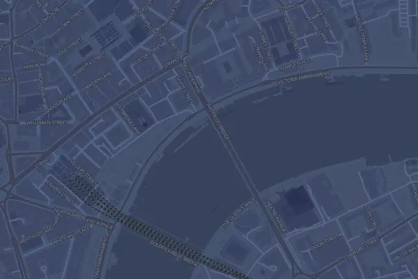
Fiord
OpenFreeMapA blue-toned dark style with a Nordic feel.
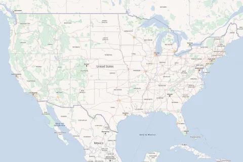
OSM Americana
OSM AmericanaA road-atlas-inspired style with highway shields, route markers, and American cartographic conventions.
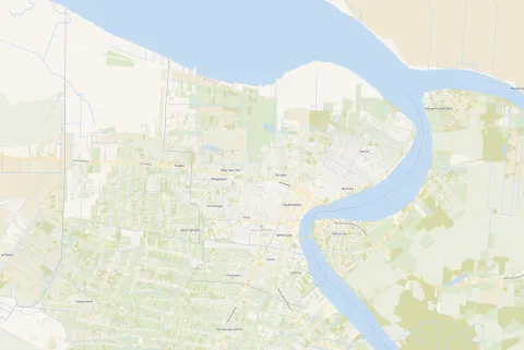
Colorful
VersaTilesA vibrant, colorful basemap with rich detail. Fully free with no API key or usage limits.
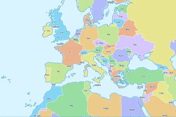
Demotiles
MapLibreMapLibre's built-in demo style showing country boundaries and labels. Useful for testing.
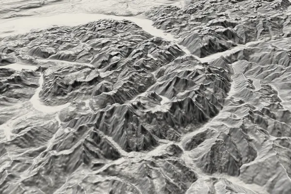
Terrarium Elevation
AWS Open DataGlobal elevation tiles in Terrarium format. Use for hillshading and 3D terrain in MapLibre.
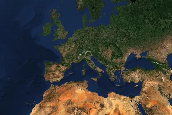
EOxCloudless 2025
EOXCloud-free Sentinel-2 satellite imagery of the whole world for 2025, as raster tiles. Free for non-commercial use under CC BY-NC-SA 4.0; commercial use needs a license from EOX.
API key
Free tier with an account
Commercial basemaps with a free tier. Sign up with the provider for a key.
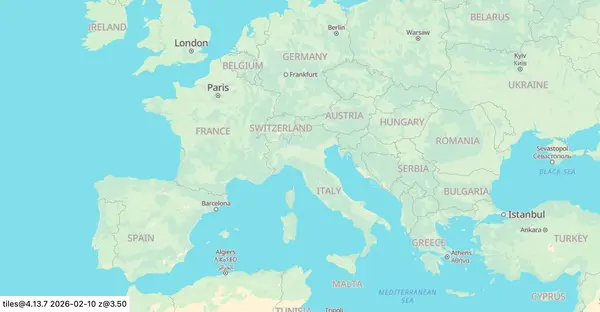
Light ↗
ProtomapsA clean, light basemap. Protomaps offers free self-hosting or a hosted API with a free tier.
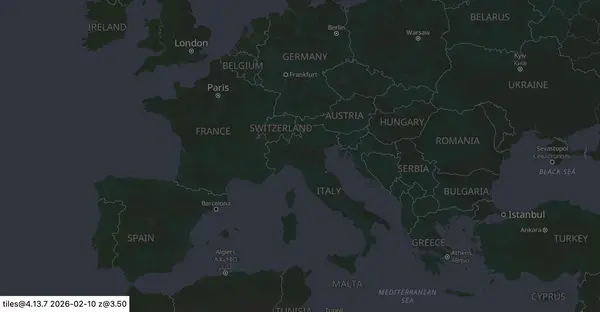
Dark ↗
ProtomapsA dark variant of the Protomaps basemap.
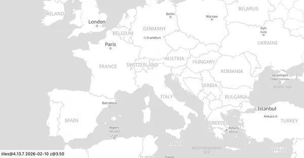
White ↗
ProtomapsA minimal white basemap for clean data overlays.
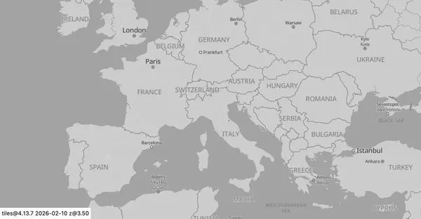
Grayscale ↗
ProtomapsA neutral grayscale basemap that stays out of the way of your data.
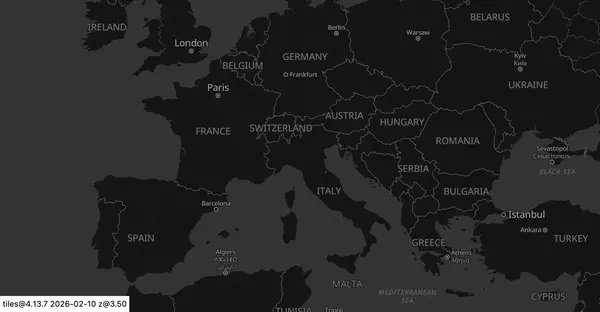
Black ↗
ProtomapsA high-contrast black basemap, great for neon-colored data overlays.
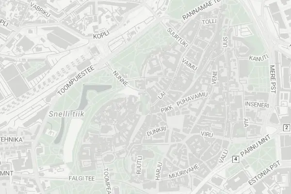
Alidade Smooth ↗
Stadia MapsA soft, muted basemap with smooth colors for a refined look.
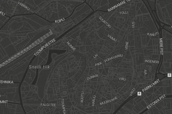
Alidade Smooth Dark ↗
Stadia MapsThe dark variant of Alidade Smooth for low-light and dark-mode UIs.
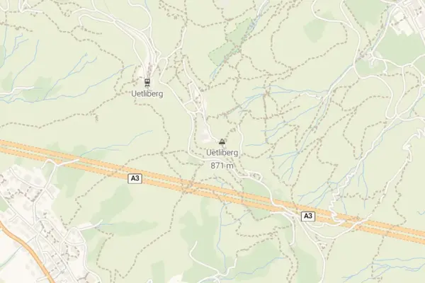
Outdoors ↗
Stadia MapsA topographic-inspired style with hill shading, contours, and trail details.
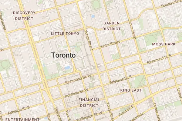
OSM Bright ↗
Stadia MapsA bright, general-purpose street map style based on OpenStreetMap data.
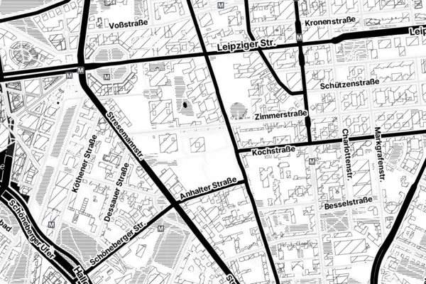
Stamen Toner ↗
Stadia MapsThe iconic high-contrast black-and-white style by Stamen Design, now hosted by Stadia Maps.
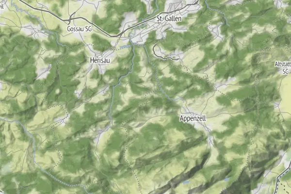
Stamen Terrain ↗
Stadia MapsStamen's terrain style with hill shading and natural vegetation colors.
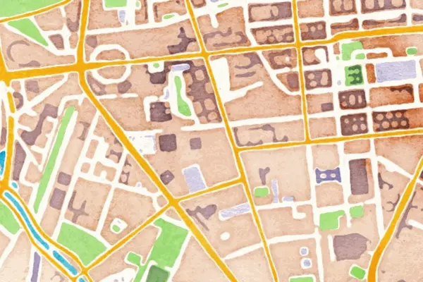
Stamen Watercolor ↗
Stadia MapsStamen's artistic watercolor-painted map style with soft washes and organic edges.
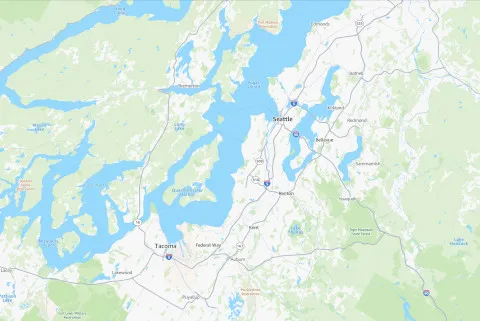
Standard ↗
AWSAmazon's standard street map style with detailed road networks and labels.
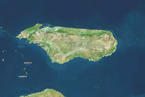
Hybrid ↗
AWSAmazon's hybrid style combining satellite imagery with street labels and boundaries.
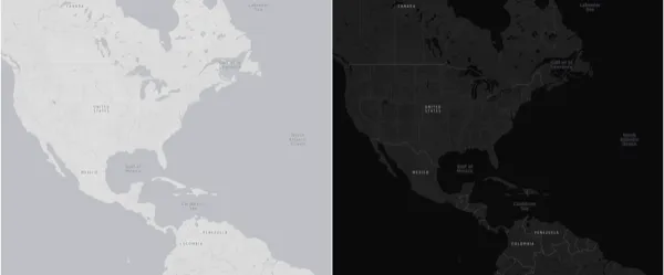
Monochrome ↗
AWSA minimalist grayscale style designed for data visualization overlays.
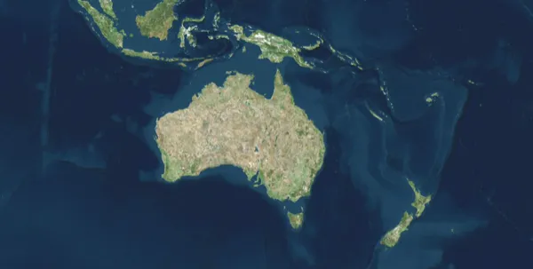
Satellite ↗
AWSHigh-resolution satellite imagery basemap.
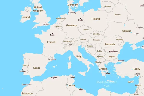
Jawg Streets ↗
JawgA detailed street map style with clear road hierarchy and labels.
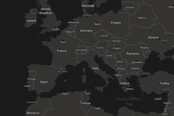
Jawg Dark ↗
JawgA dark basemap for night-mode UIs and data visualization.
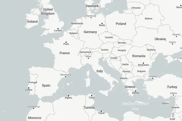
Jawg Light ↗
JawgA light, minimal basemap with subtle tones.
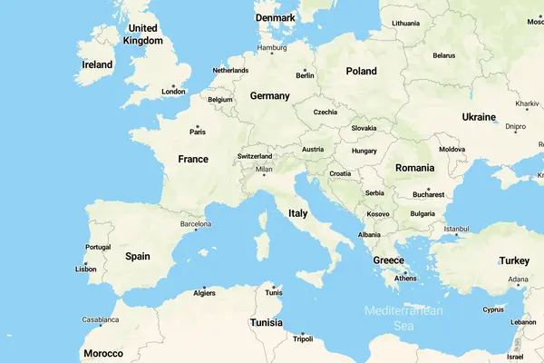
Jawg Terrain ↗
JawgA basemap with relief and elevation information, hill shading, and contour lines.
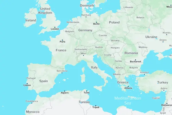
Jawg Lagoon ↗
JawgA blueish style inspired by lagoon colors with a calm, oceanic feel.
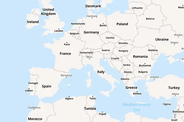
Jawg Sunny ↗
JawgA bright, warm-toned style with sunny colors.
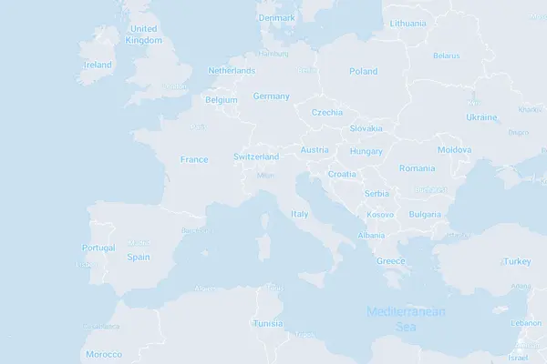
Jawg Blueprint ↗
JawgA blueprint-style map with a technical, architectural aesthetic.
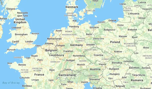
Streets ↗
MapTilerA general-purpose street map with clear labels, road hierarchy, and points of interest.
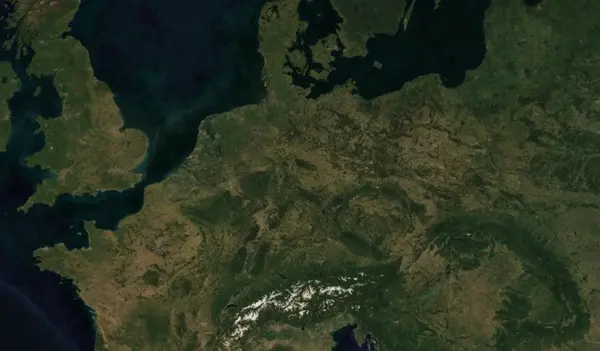
Satellite ↗
MapTilerHigh-resolution satellite imagery basemap.
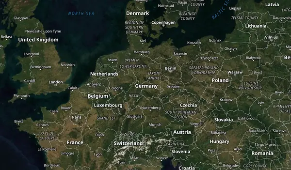
Hybrid ↗
MapTilerSatellite imagery with road overlays, labels, and boundaries.
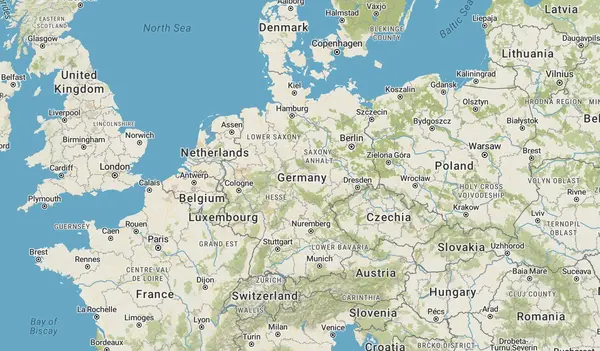
Topo ↗
MapTilerA topographic map with contour lines, hill shading, and terrain detail.
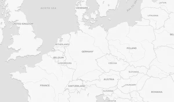
Dataviz Light ↗
MapTilerA clean, minimal light basemap designed for data visualization overlays.
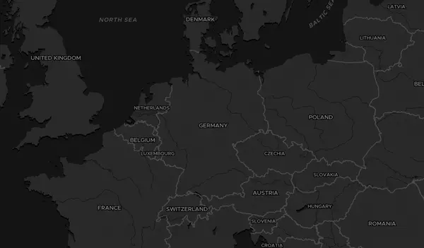
Dataviz Dark ↗
MapTilerA dark variant of the dataviz basemap for data overlays in dark-mode UIs.
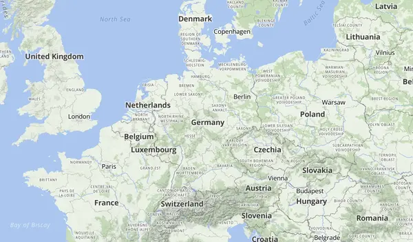
Outdoor ↗
MapTilerAn outdoor-focused map with trails, contours, and points of interest for hiking and biking.
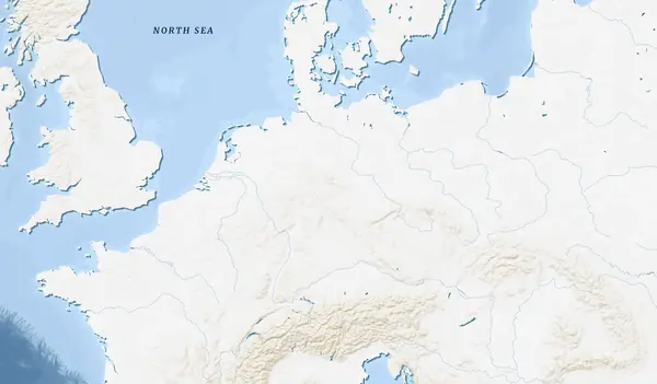
Ocean ↗
MapTilerA nautical-themed map with bathymetric shading and ocean-focused detail.
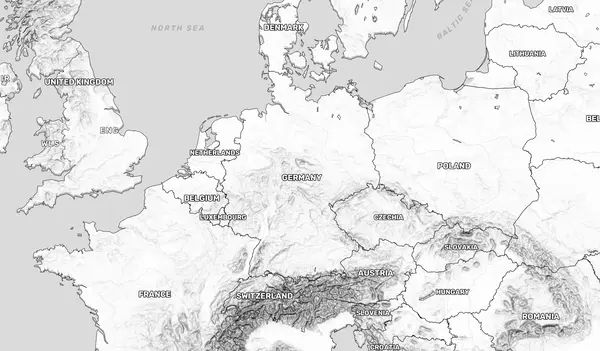
Backdrop ↗
MapTilerA subtle, muted basemap designed to stay in the background behind your content.
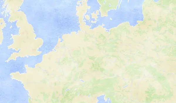
Aquarelle ↗
MapTilerA watercolor-inspired artistic map style with soft washes and organic textures.
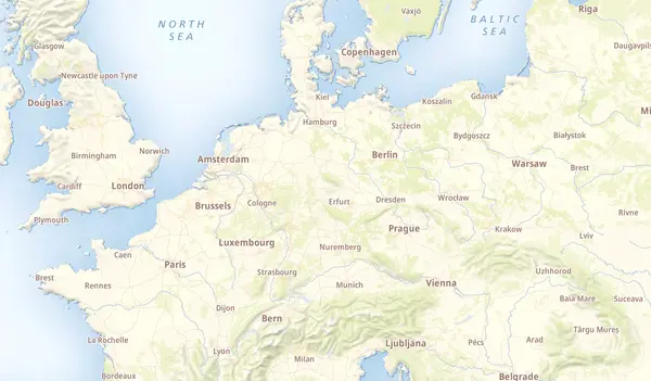
Landscape ↗
MapTilerA natural landscape map with vivid vegetation colors and terrain shading.
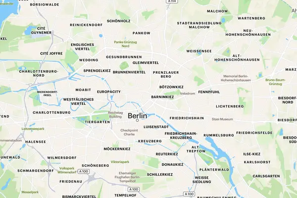
Default ↗
RadarA detailed street-level map with full road networks, labels, and points of interest.
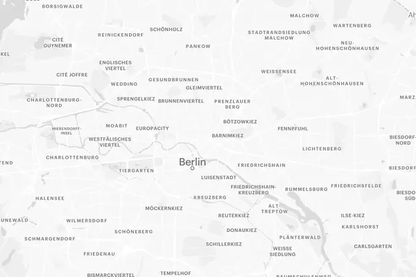
Light ↗
RadarA light monochrome basemap for highlighting custom data overlays.

Dark ↗
RadarA dark monochrome basemap for dark-mode applications and data visualization.
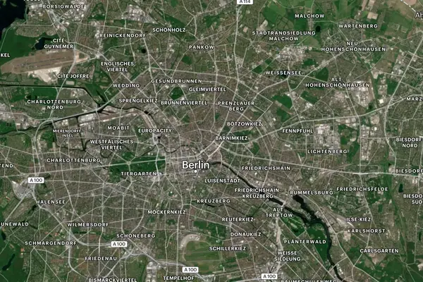
Hybrid ↗
RadarSatellite imagery with road overlays and labels.
Your own tiles
Make your own basemap
Generate and serve tiles from your own data, then design a style for them.
Know of another basemap?
Help grow the basemap gallery by suggesting free or freemium map styles.