

Products
Products that use MapLibre for their maps, from global tech companies to startups.
All products
Showing 24 of 156 matching products

Social networking platform that shows Meta's maps on business Pages, Marketplace listings, and other location features.
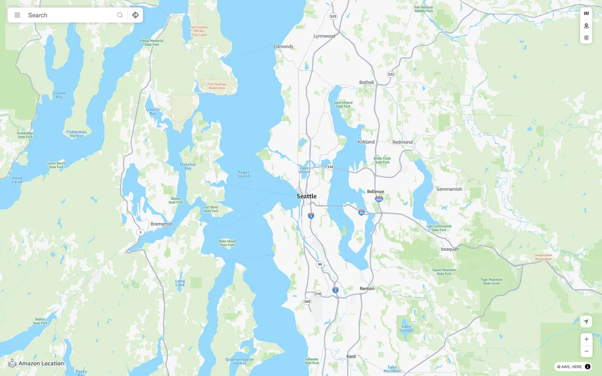

Amazon Location Service
AWS managed mapping platform with map tiles, styles, and static map images, plus geocoding, place search, routing, geofencing, and device tracking APIs.
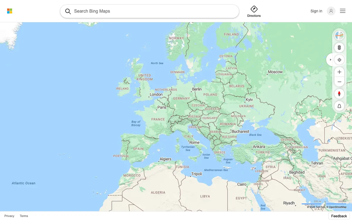

Bing Maps
Web maps from Microsoft, redesigned in 2023 on an open-source stack with vector rendering.
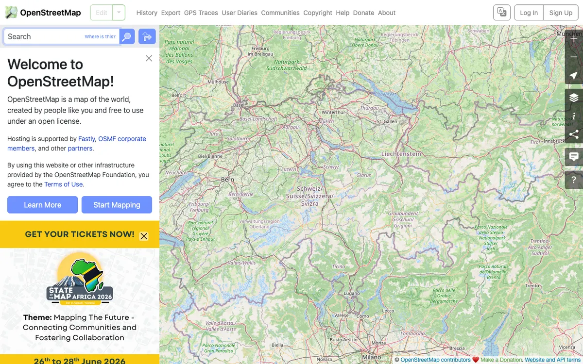
OpenStreetMap
Free wiki world map whose data is available under the ODbL, with whole-planet downloads, Shortbread vector tiles, and an editing API for contributing data back.

Instagram Maps
Maps on Instagram location pages and in the Instagram map, where people can opt in to share their location with friends.

Lyft
Ride-hailing and micromobility service whose mobile apps cover rides, in-ride navigation, and maps of scooters and bikes.
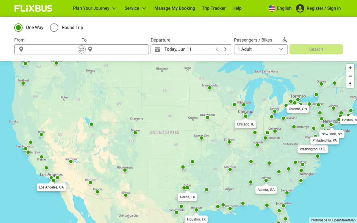

FlixBus
Bus travel service with a route network and connections across Europe and beyond, shown on a map of its routes.

AWS Amplify
Fullstack development platform with tools and services for web and mobile developers. Its Geo category adds maps and location search from Amazon Location Service to apps, along with geofence tools.
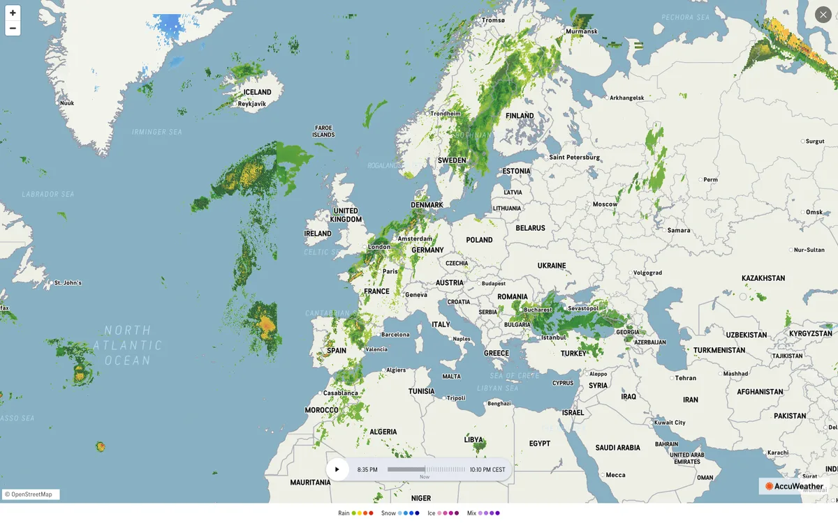

AccuWeather
Global weather forecasting service with radar maps, plus a weather API for forecasts, current conditions, severe weather alerts, minute-by-minute precipitation, lightning, and tropical cyclone data.
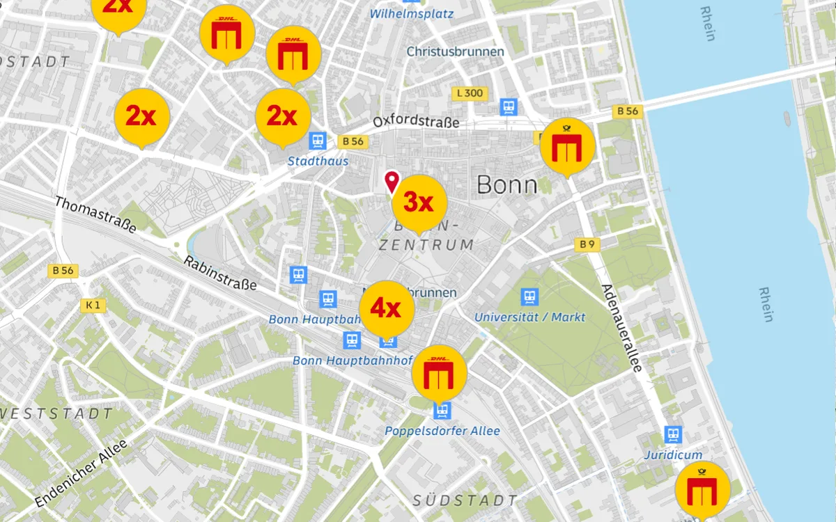

Parcel Track & Trace
Parcel tracking on dhl.de from DHL Paket, showing the delivery vehicle's live position, plus a location finder for Packstations, Paketshops, and post offices. DHL also offers Location Finder and Shipment Tracking APIs.
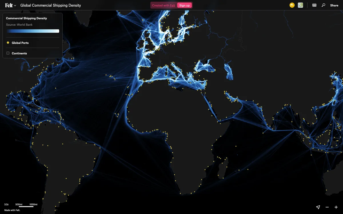

Felt
Cloud-native collaborative GIS for uploading geodata, running spatial analysis, building dashboards, and sharing or embedding maps, all in the browser.
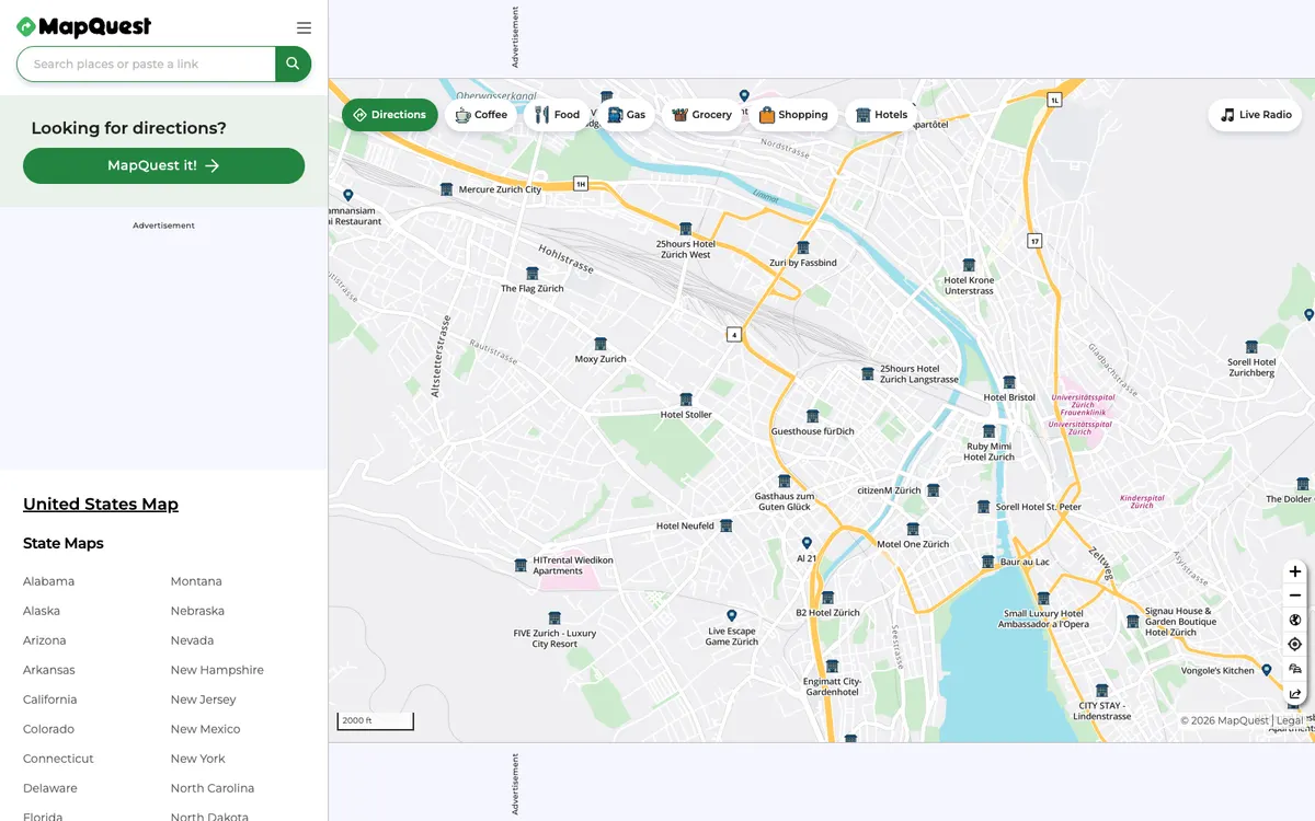

MapQuest
Web mapping service offering driving directions, maps, live traffic updates, and road conditions, plus developer APIs for geocoding, directions, place search, static maps, and traffic.
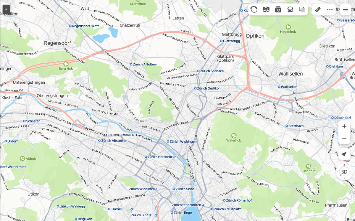

Yandex Maps
Web maps from Yandex, with a JavaScript API and MapKit SDK for adding maps to sites and apps, geocoding, search, and routing APIs, and the NaviKit navigation SDK.

Gojek
Multi-service super app active in South-East Asia and Australia, offering ride-hailing, food delivery, payments and more.

Grab Maps
In-house mapping platform of the Grab super app, used for ride-hailing, delivery and payments across South-East Asia, with APIs for vector tiles, place search, and routing.

Ray-Ban Smart Glasses
Smart glasses from Meta with AI features, plus navigation and location-aware map experiences on the heads-up display.

Plotly Studio
AI-native app that turns raw data from CSV files and databases into interactive analytics apps and dashboards, as a desktop app or embedded in Dash apps.

Rivian
American electric vehicle maker, with in-vehicle and mobile navigation experiences that include charging station maps.

SNCF Connect
France's official rail booking and multimodal travel app by SNCF, with interactive transit maps and journey planning.
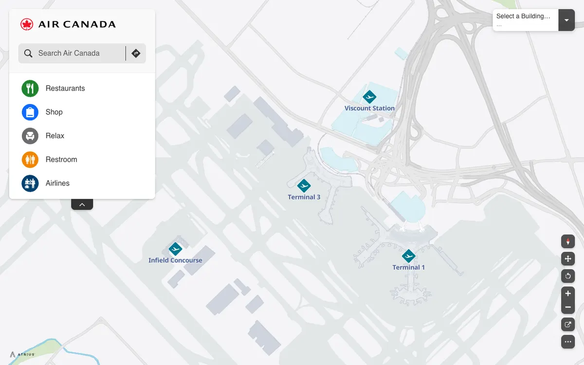

Air Canada Airport Maps
Interactive airport maps from Air Canada that show terminals, restaurants, shops, and restrooms at Toronto Pearson, built on the Atrius (formerly LocusLabs) wayfinding platform.
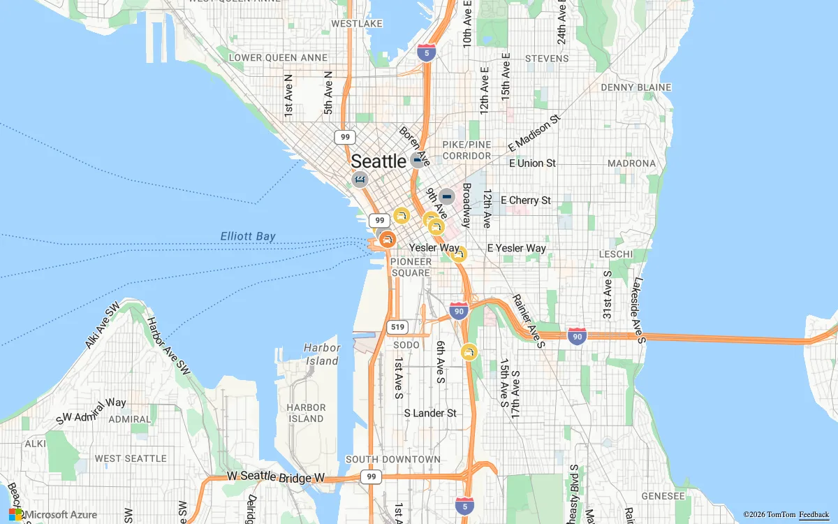

Azure Maps
Microsoft cloud geospatial services for developers and enterprises, with vector and raster map tiles, satellite imagery, geocoding, routing, and traffic, weather, and geofencing APIs.
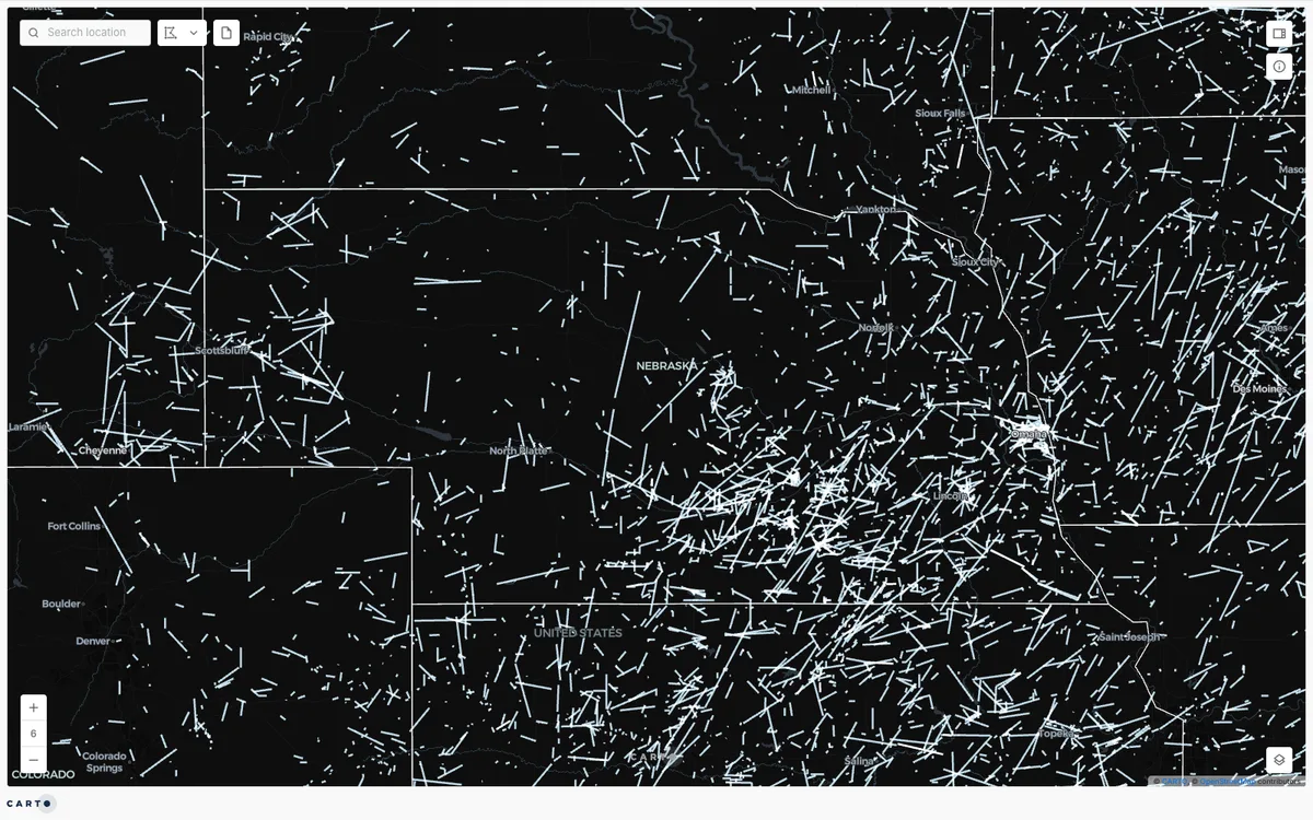

CARTO
Cloud-native location intelligence platform that connects to data warehouses like BigQuery, Snowflake, and Databricks, with Builder for making and sharing maps and drag-and-drop Workflows for spatial analysis.
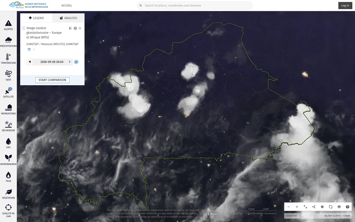

ClimWeb
WMO-supported open-source CMS that runs the websites of national meteorological and hydrological services across Africa, used in 42 countries.
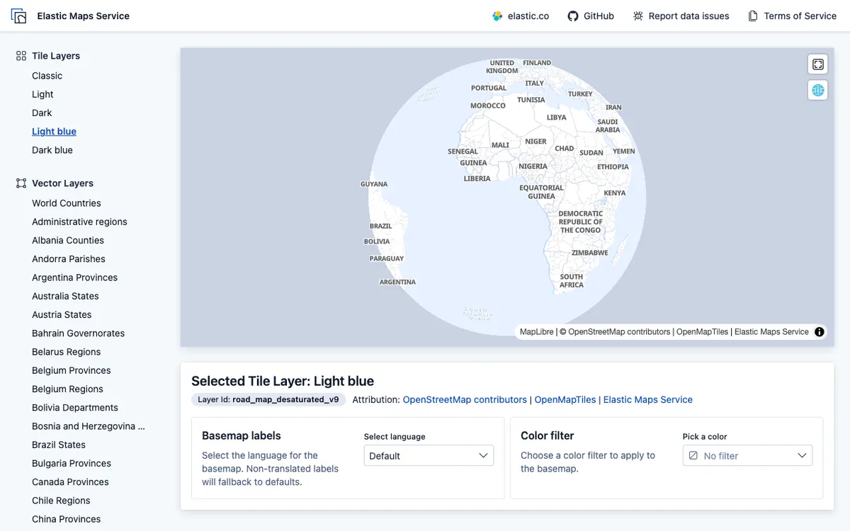

Elastic Maps
Geospatial analytics and visualization tool for interactive data exploration in Kibana, with maps built from Elasticsearch data using vector, heat map, and tile layers.
Know of another product?
Made something with MapLibre, or know a product that uses it? Suggest it for the showcase.