


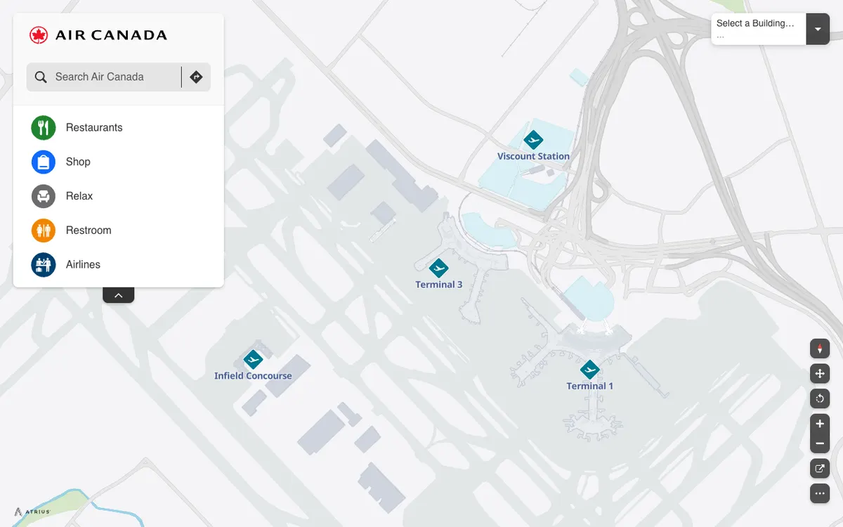
Interactive airport maps from Air Canada that show terminals, restaurants, shops, and restrooms at Toronto Pearson, built on the Atrius (formerly LocusLabs) wayfinding platform.
How Air Canada Airport Maps uses MapLibre
The Toronto Pearson terminal maps are rendered with MapLibre GL JS.
More travel products
All travel →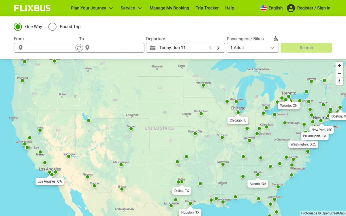

FlixBus
Bus travel service with a route network and connections across Europe and beyond, shown on a map of its routes.
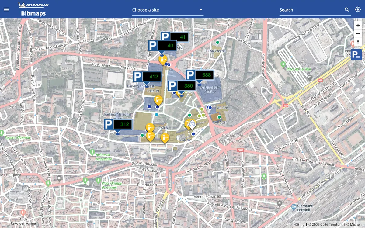

BibMaps
Interactive map from Michelin that shows where to find Bib Gourmand restaurants.
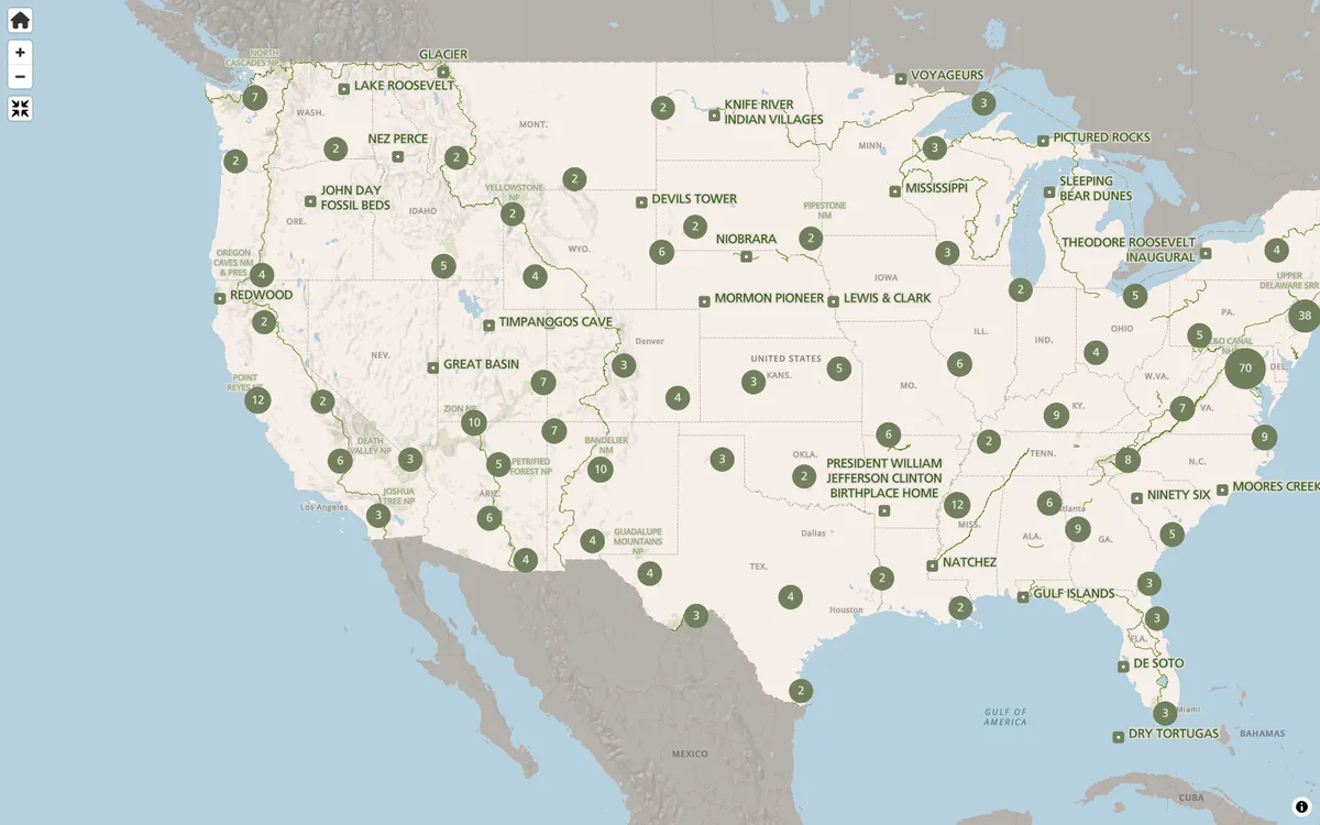

NPS Maps
Park finder and interactive state maps on NPS.gov for exploring America's national parks and planning visits.