

PMTiles
Single-file tile archive protocol
Maintained by Protomaps
Cloud-optimized single-file archive format for tilesets. The JavaScript library adds a custom protocol to MapLibre GL JS for direct PMTiles consumption.
Used by 10 products
See all →

Air Canada Airport Maps
Air Canada's interactive airport maps, built on the Atrius (formerly LocusLabs) wayfinding platform, show terminals, restaurants, shops, and restrooms at Toronto Pearson on a MapLibre GL JS map.
GL JS · Web
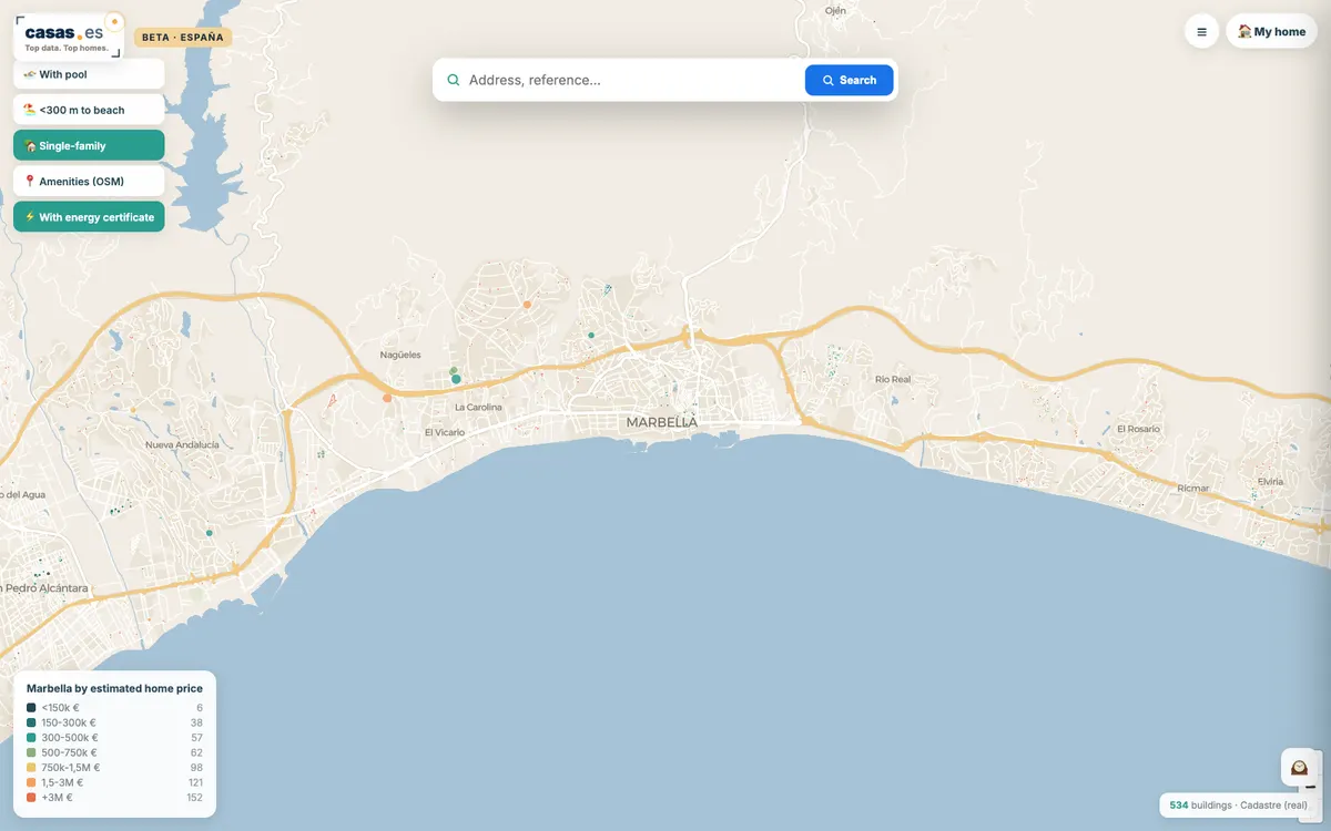

CASAS.ES
A free map of every building in Spain (nearly 13 million), coloured by estimated home value, each with a data sheet built from the Cadastre, IGN and other open sources. It draws its own national vector basemap with MapLibre GL JS.
GL JS · Web
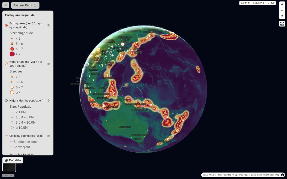

GeoLens
Open-source, self-hosted catalog for geospatial data with semantic search, OGC APIs, and a map builder for composing and sharing multi-layer maps. Map editing and shared maps run on MapLibre GL JS.
GL JS · Web
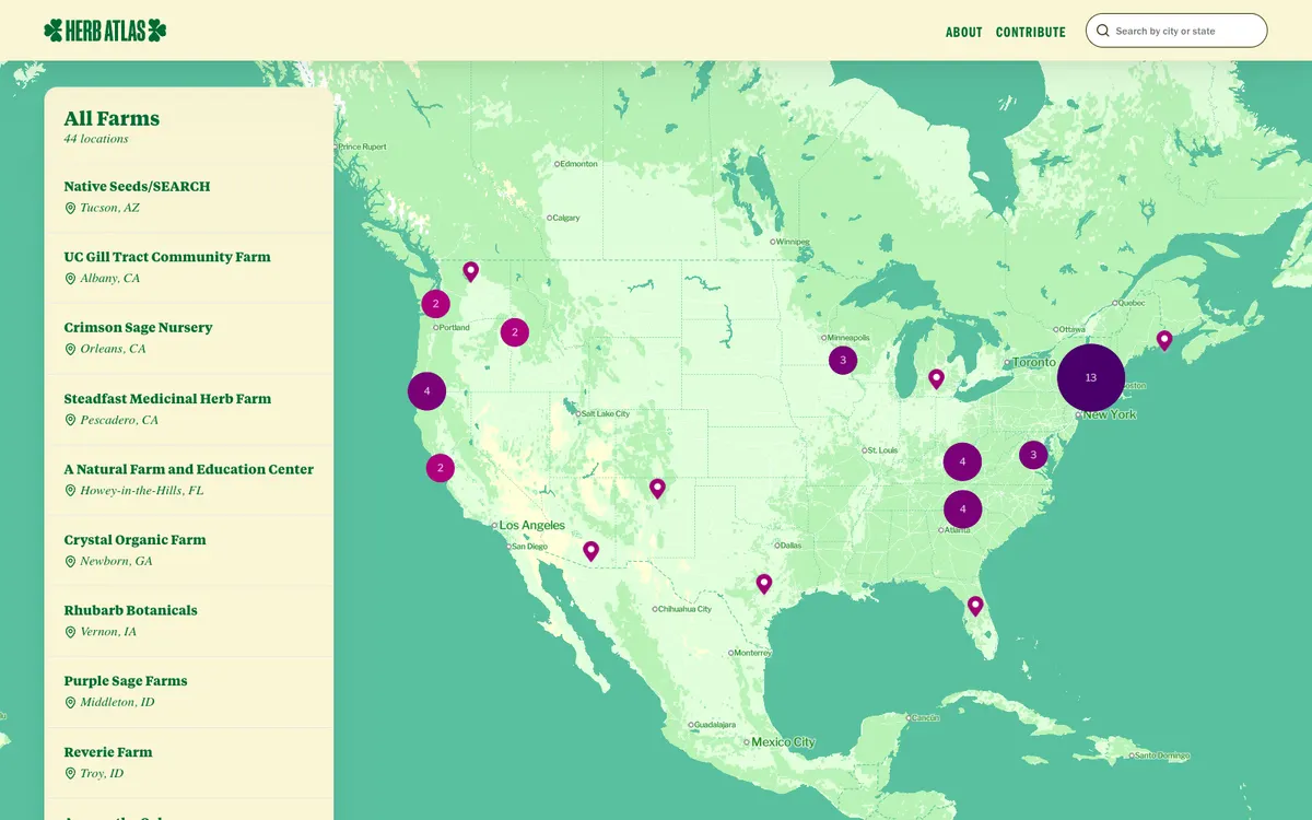

Herb Atlas
Interactive map of small, human-scale US farms that grow medicinal herbs with sustainable and regenerative practices, built with SvelteKit and MapLibre GL JS on self-hosted Protomaps vector tiles.
GL JS · Web
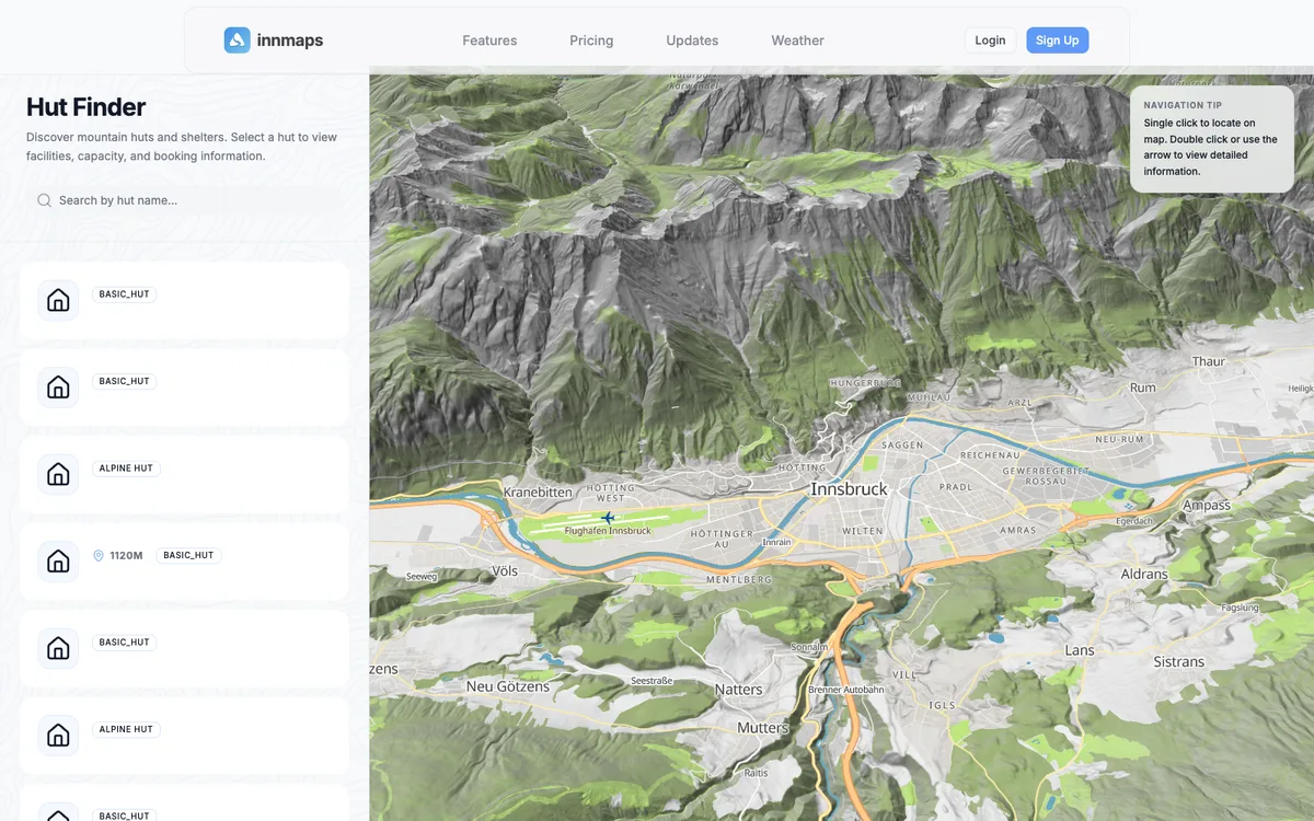

innmaps
Innsbruck-built 3D outdoor map for planning alpine tours, with a hut finder, weather stations, and terrain on MapLibre GL JS, served from the team's own Martin tile server.
GL JS · Web
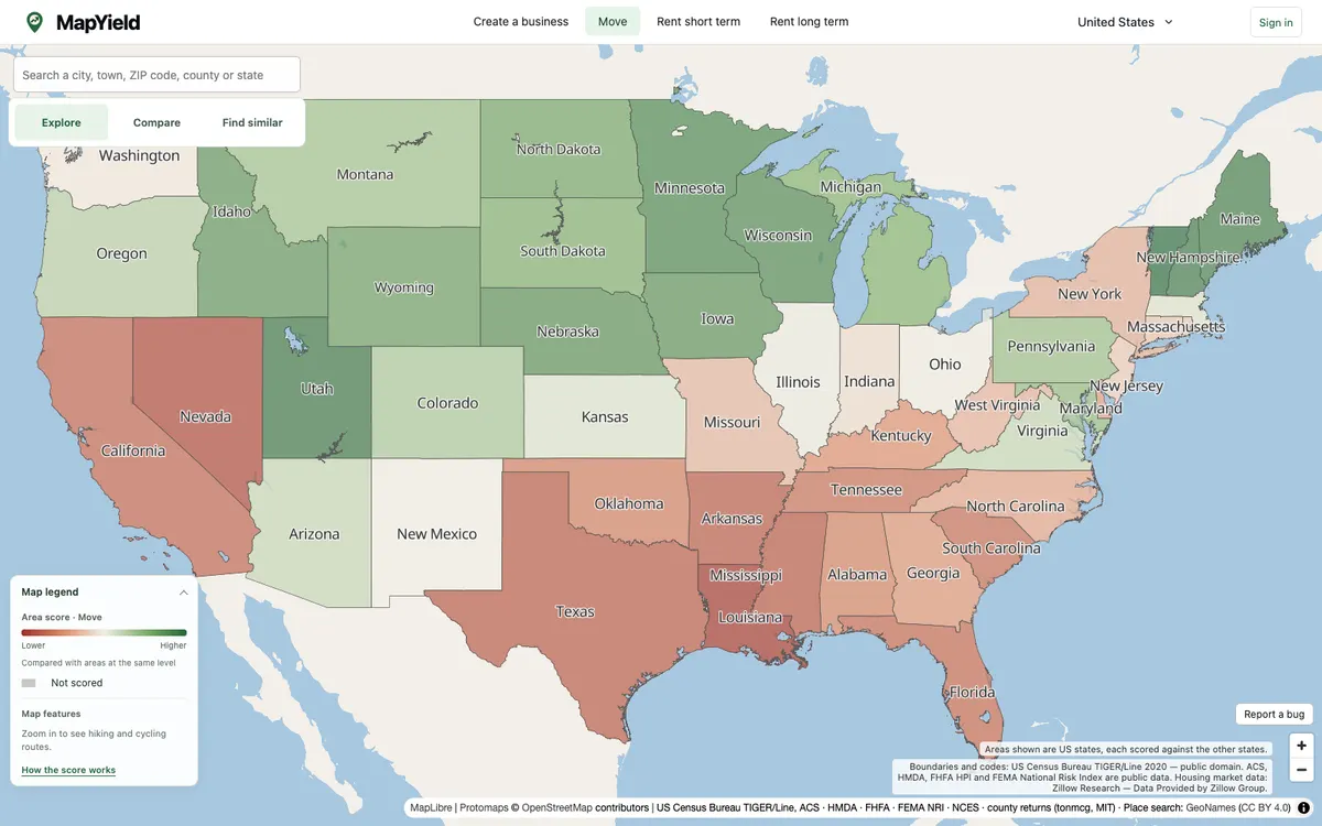

MapYield
MapYield is an interactive map that scores every US state, county, census tract and block group from public data, reweighted for moving, starting a business, or renting. It renders with MapLibre GL JS from self-hosted PMTiles archives, including a Protomaps basemap.
GL JS · Web