


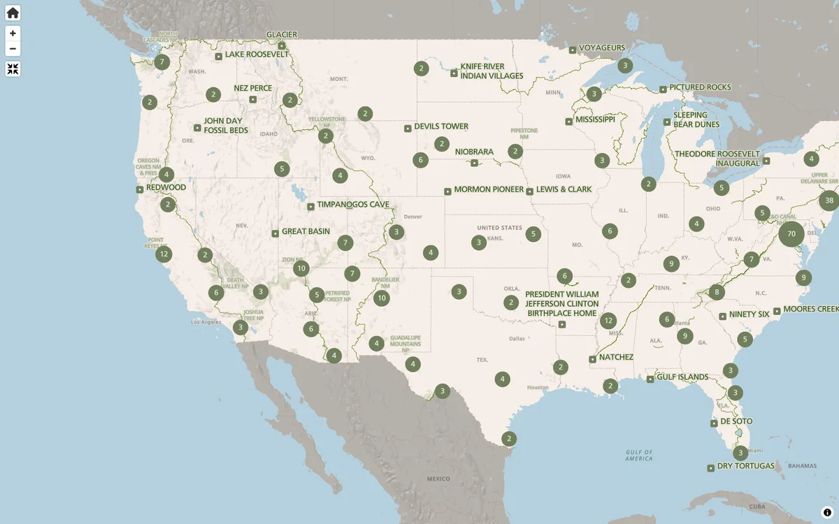
The NPS.gov park finder and interactive state maps render vector tiles with MapLibre GL JS, helping millions plan their visits each year.
More outdoors products
All outdoors →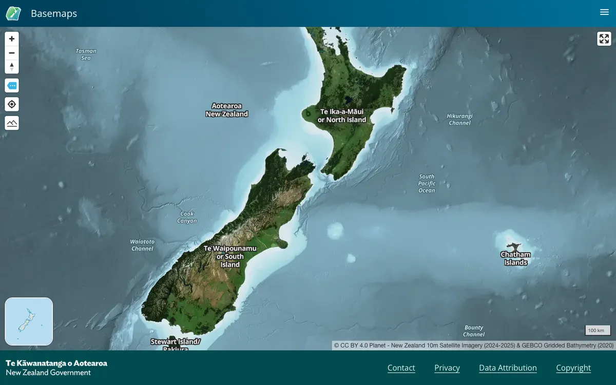

LINZ Basemaps
Land Information New Zealand hosts high-resolution aerial imagery and vector tiles; the public viewer and embed links run on MapLibre GL JS.
GL JS · Web
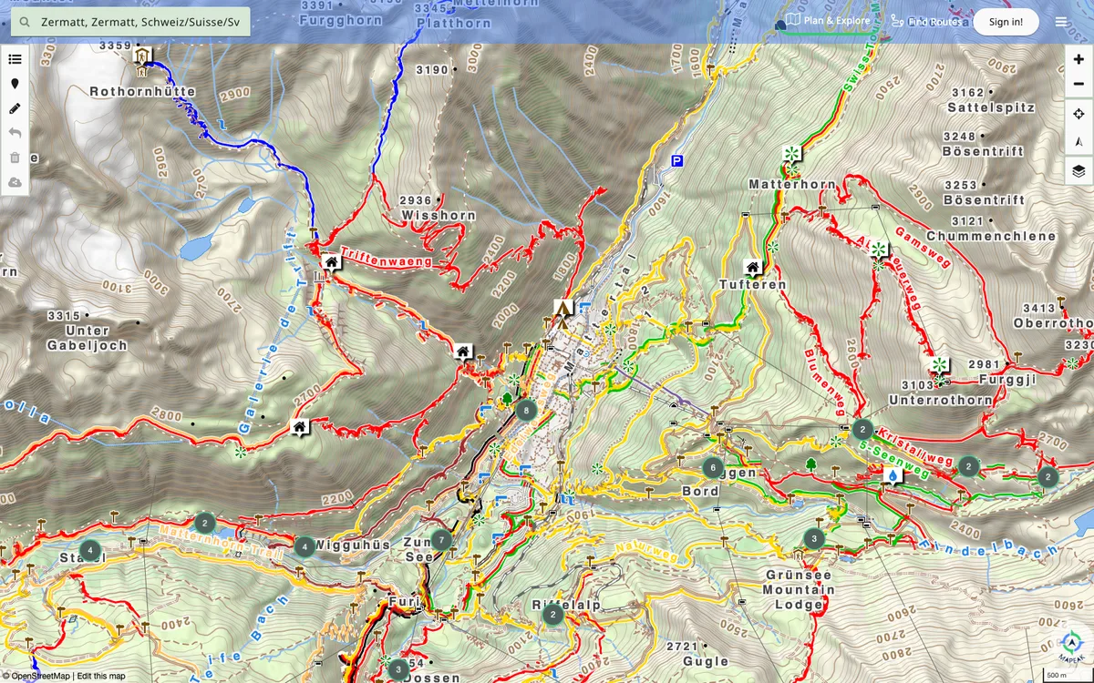

Mapeak
Mapeak, formerly Israel Hiking Map, is a navigation app for hiking, biking, and running with offline maps updated daily and online maps refreshed three times a day. It supports open data by enabling users to upload images to Wikimedia and contribute to OpenStreetMap.
GL JS + Native · Web, iOS, Android
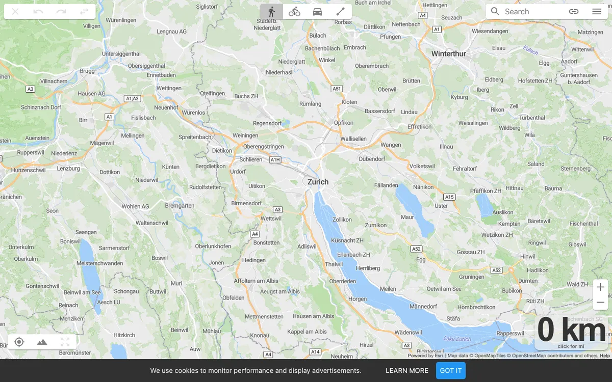
On The Go Map
OnTheGoMap.com lets athletes and travelers plot routes with distance and elevation profiles. Its interactive map and elevation profile are rendered via MapLibre GL JS.
GL JS · Web