


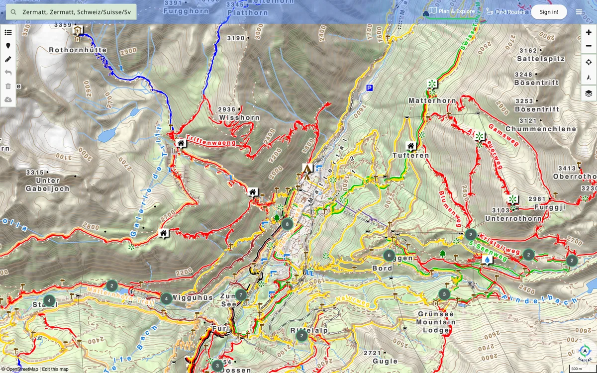
Navigation app for hiking, biking, and running, formerly Israel Hiking Map, with offline maps updated daily and online maps refreshed three times a day. Users can upload images to Wikimedia and contribute to OpenStreetMap.
How Mapeak uses MapLibre
Its Angular and Capacitor client uses MapLibre through ngx-maplibre-gl, and its maps render with MapLibre GL JS and MapLibre Native.
What Mapeak offers you
- Site and app source on GitHub under CC BY-NC-SA 3.0
- Angular and Capacitor client using MapLibre via ngx-maplibre-gl
- Hiking and MTB vector tile styles in its VectorMap repo
- Build POI PMTiles and a search index with planet-search (Apache-2.0)
- Run its elevation web API with Docker (MIT)
From github.com
More maps & navigation products
All maps & navigation →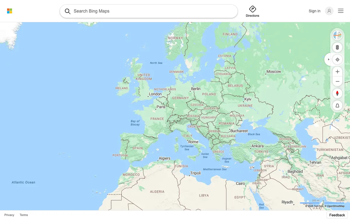

Bing Maps
Web maps from Microsoft, redesigned in 2023 on an open-source stack with vector rendering.
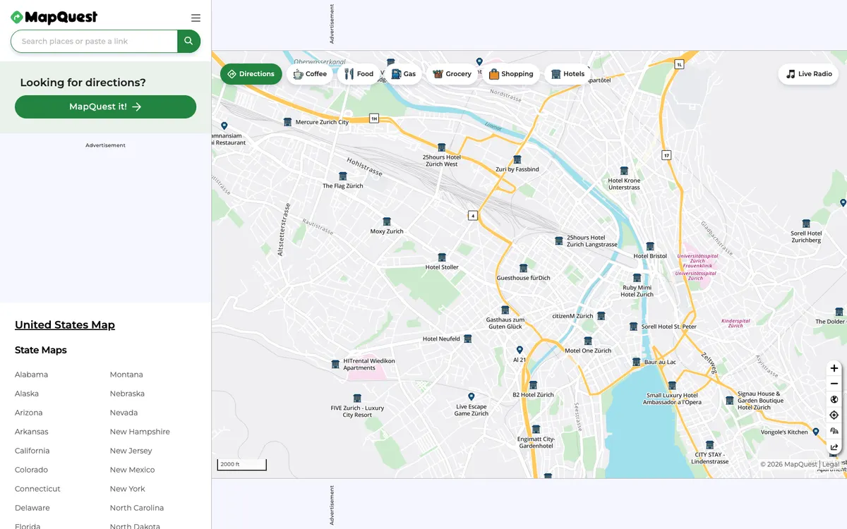

MapQuest
Web mapping service offering driving directions, maps, live traffic updates, and road conditions, plus developer APIs for geocoding, directions, place search, static maps, and traffic.
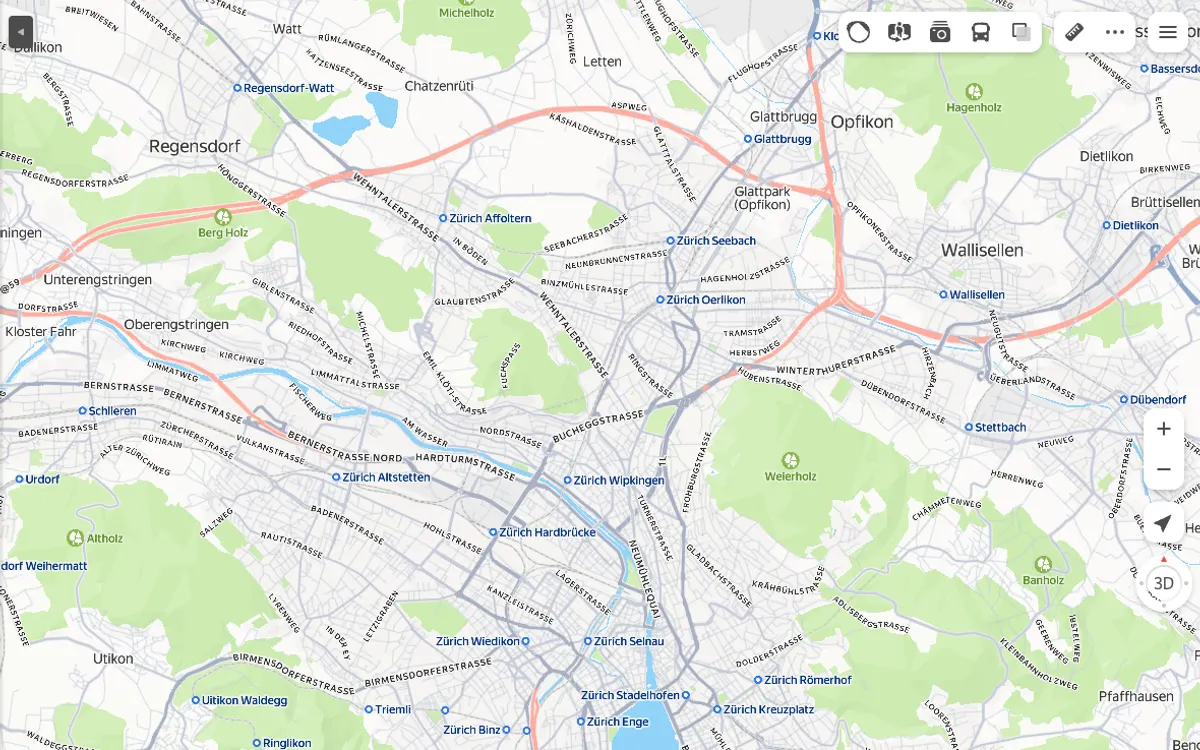

Yandex Maps
Web maps from Yandex, with a JavaScript API and MapKit SDK for adding maps to sites and apps, geocoding, search, and routing APIs, and the NaviKit navigation SDK.