


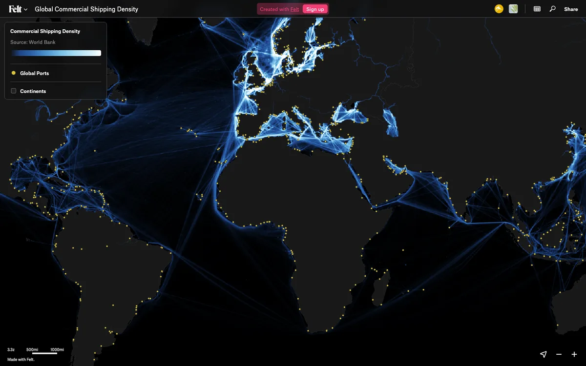
Cloud-native collaborative GIS for uploading geodata, running spatial analysis, building dashboards, and sharing or embedding maps, all in the browser.
How Felt uses MapLibre
Felt's live map canvas is rendered with MapLibre GL JS.
What Felt offers you
- Upload shapefiles, GeoJSON, GeoPackage, GeoTIFF, CSV, DXF, and more
- Live connections to Postgres, Snowflake, BigQuery, and other cloud sources
- Share maps with permission controls and embed them on a website
- JavaScript SDK to control embedded maps and listen to map events
- REST API and Python SDK to create maps, add data, and style layers

Building a Fast Rendering Engine with MapLibre
Read on felt.com ↗
More gis & analytics products
All gis & analytics →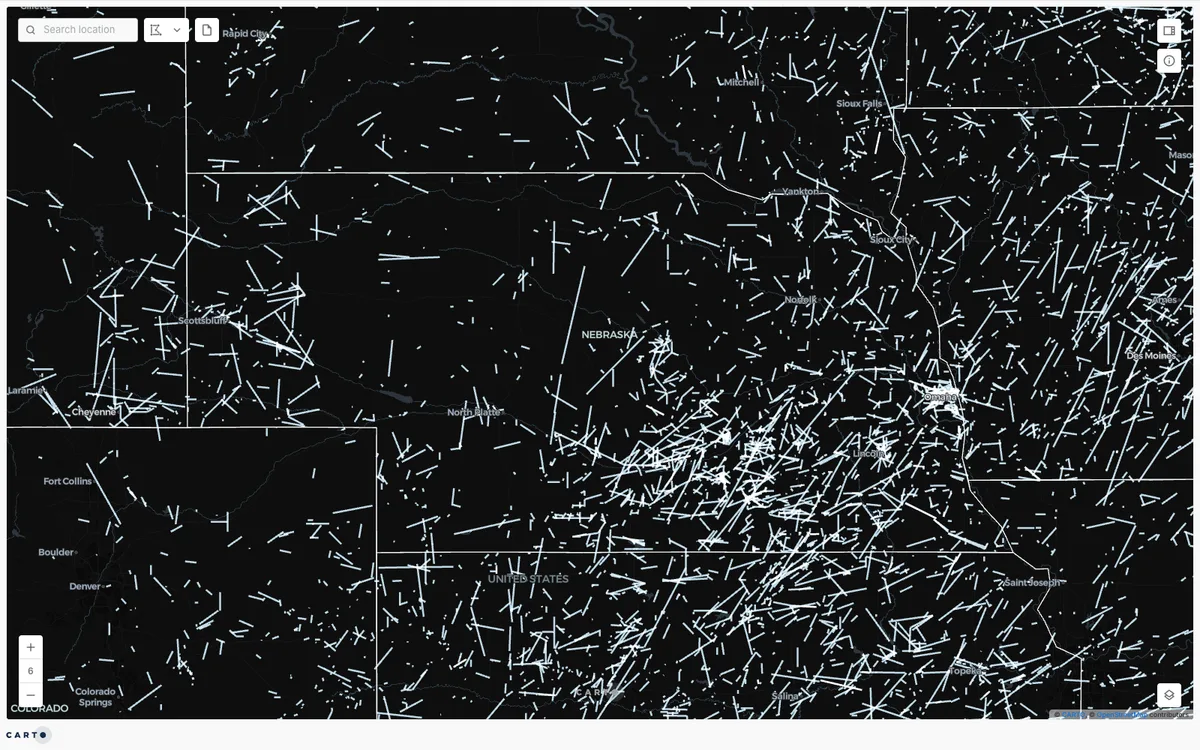

CARTO
Cloud-native location intelligence platform that connects to data warehouses like BigQuery, Snowflake, and Databricks, with Builder for making and sharing maps and drag-and-drop Workflows for spatial analysis.

Elastic Maps
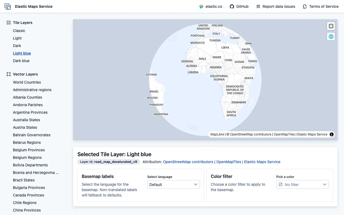
Geospatial analytics and visualization tool for interactive data exploration in Kibana, with maps built from Elasticsearch data using vector, heat map, and tile layers.

Kibana
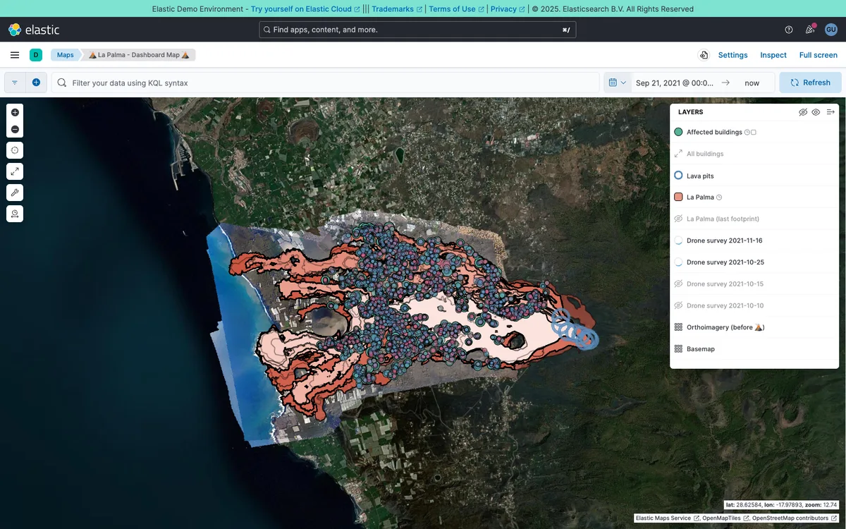
Analytics and observability dashboard from Elastic for Elasticsearch data. Its Maps feature adds multi-layer maps to dashboards, with GeoJSON, shapefile, and CSV uploads and basemaps from Elastic Maps Service.