

Command-line tool for building vector tilesets from large collections of GeoJSON features. Automatically chooses detail levels and simplification for each zoom.
Used by 2 products
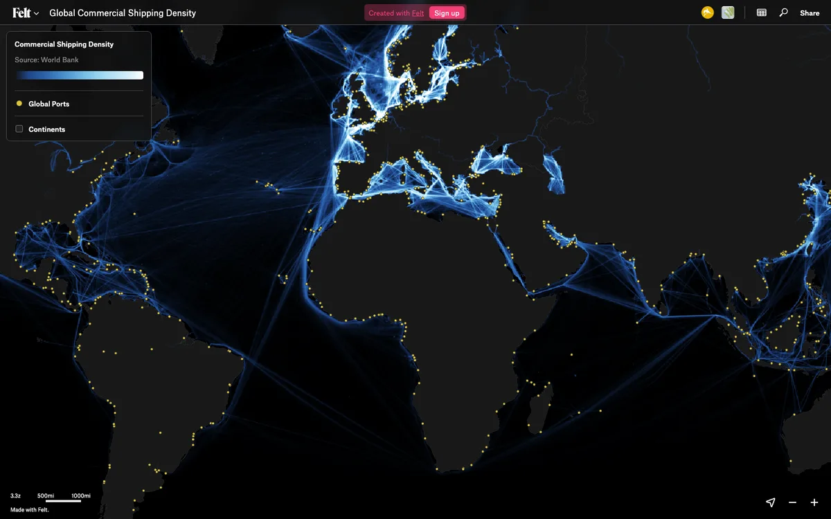

Felt
Cloud-native collaborative GIS for uploading geodata, running spatial analysis, building dashboards, and sharing or embedding maps, all in the browser.
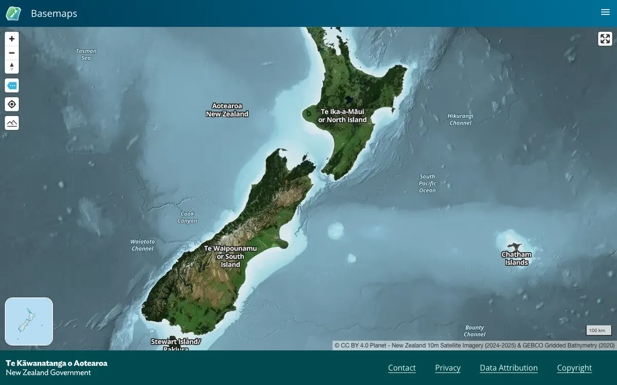

LINZ Basemaps
Official New Zealand basemap viewer from Land Information New Zealand, which hosts high-resolution aerial imagery and vector tiles. Tiles are served through XYZ, WMTS, and StyleJSON APIs, with data under CC BY 4.0.