


ClimWeb
Open-source web platform for national weather services
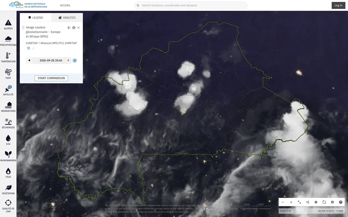
WMO-supported open-source CMS that runs the websites of national meteorological and hydrological services across Africa, used in 42 countries.
How ClimWeb uses MapLibre
ClimWeb sites use MapLibre GL JS maps for forecasts, station networks, alerts, and climate dashboards.
What ClimWeb offers you
- Open-source under MIT, built on Wagtail and Django
- Deploy your own instance with the Docker installation guide
- Upload gridded and vector data and show it on maps
- CAP 1.2 alert composer with drawn alert areas and an XML API
- Pluggable Wagtail packages such as CAP Composer and GeoManager
More weather & hazards products
All weather & hazards →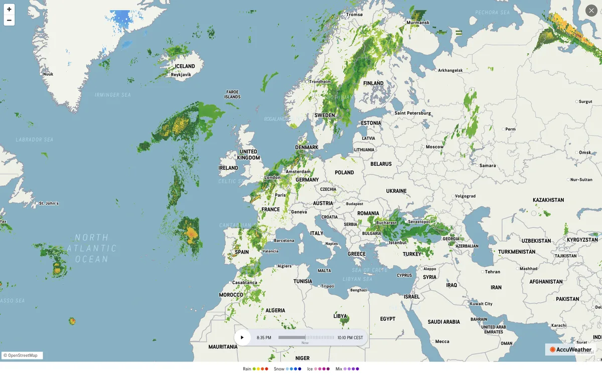

AccuWeather
Global weather forecasting service with radar maps, plus a weather API for forecasts, current conditions, severe weather alerts, minute-by-minute precipitation, lightning, and tropical cyclone data.
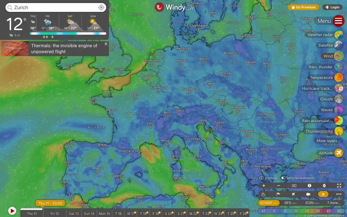

Windy.com
Global weather service with high-resolution forecast layers and radar imagery, plus embeddable weather maps and APIs for point forecasts, map forecasts, and webcams.
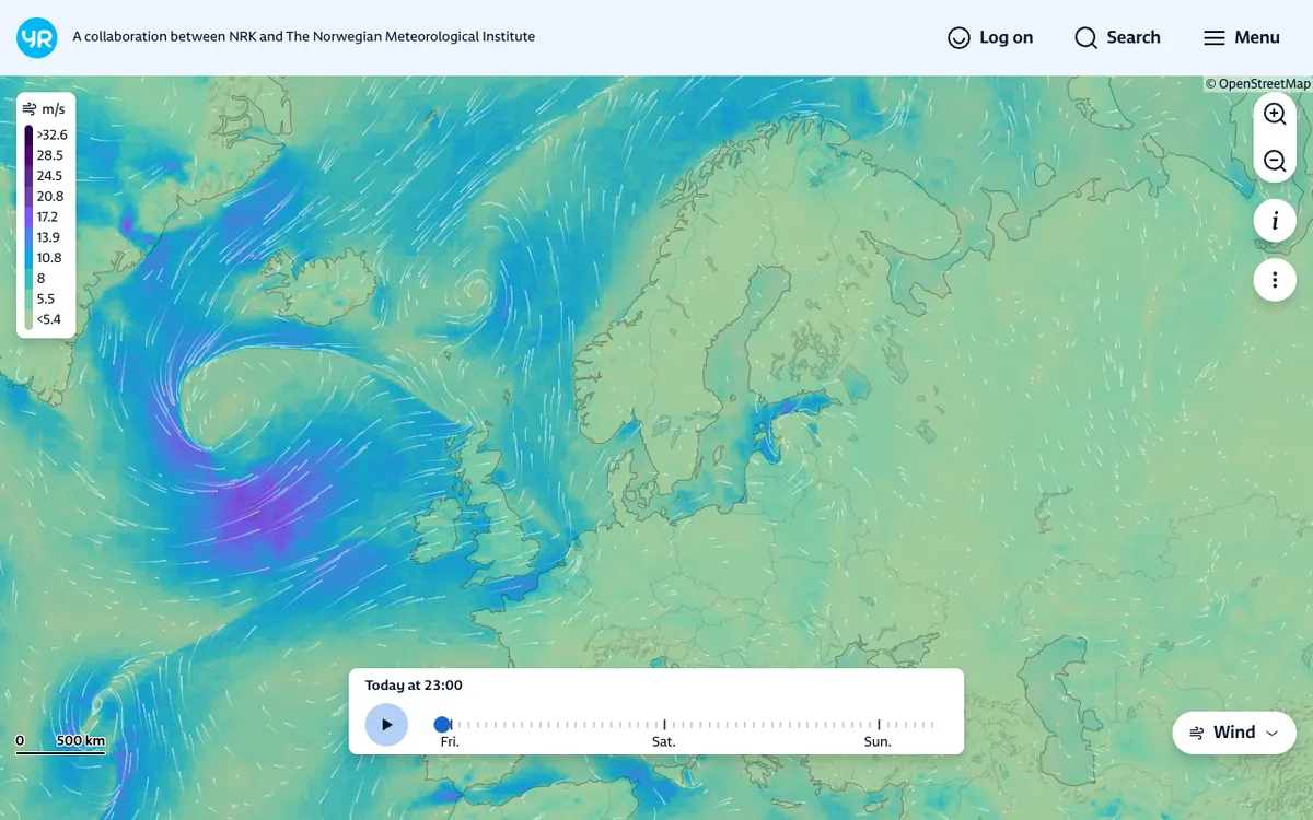

YR.no Weather Maps
Weather portal from the Norwegian Meteorological Institute with interactive weather layers, radar, and forecast maps for the whole world, plus embeddable forecast widgets and MET Norway weather APIs.