

Public Transport
Trip planners, live departures, and transit network maps powered by MapLibre. 11 verified products in the showcase.

SNCF Connect
France's official rail booking and multimodal travel app by SNCF, with interactive transit maps and journey planning.
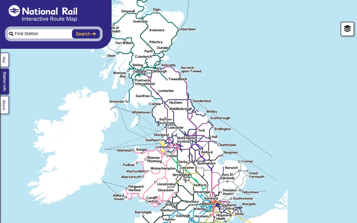

Rail Map
Interactive map of the UK's national rail network showing stations, routes and live service information.
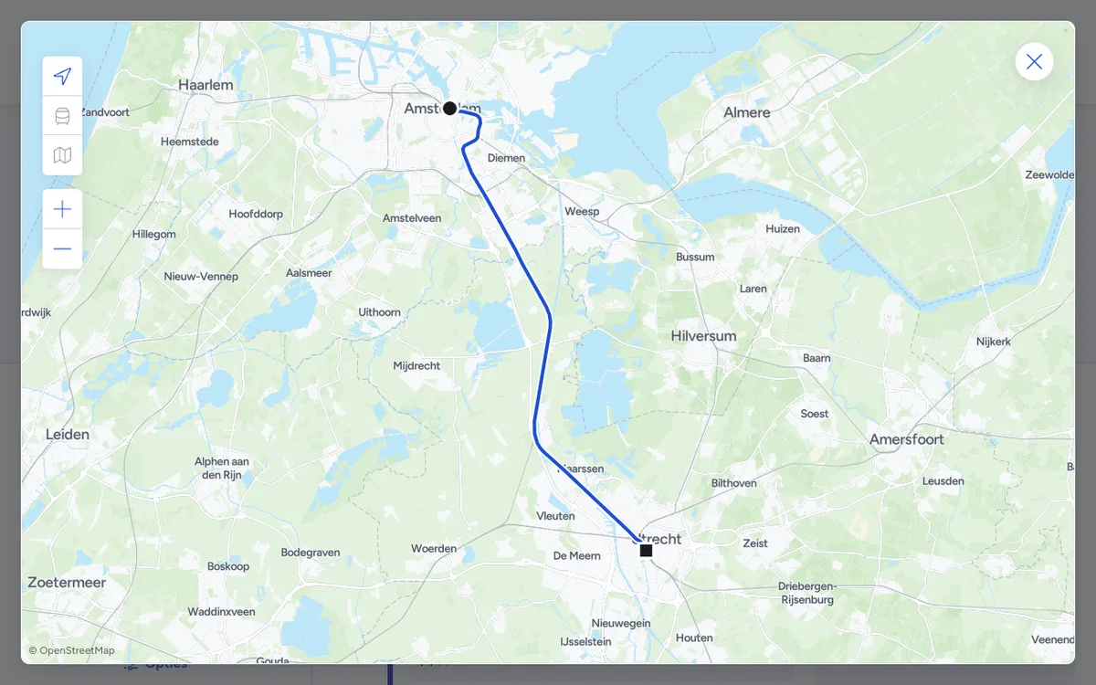

9292
Public transport trip planner for the Netherlands, with door-to-door journey planning across all Dutch transit operators and APIs for journeys, departures, and disruptions.
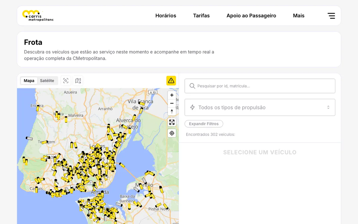

Carris Metropolitana
Public transport operator for the Lisbon metropolitan area in Portugal, with real-time vehicle tracking on an interactive map, a public REST API, and live GTFS feeds.
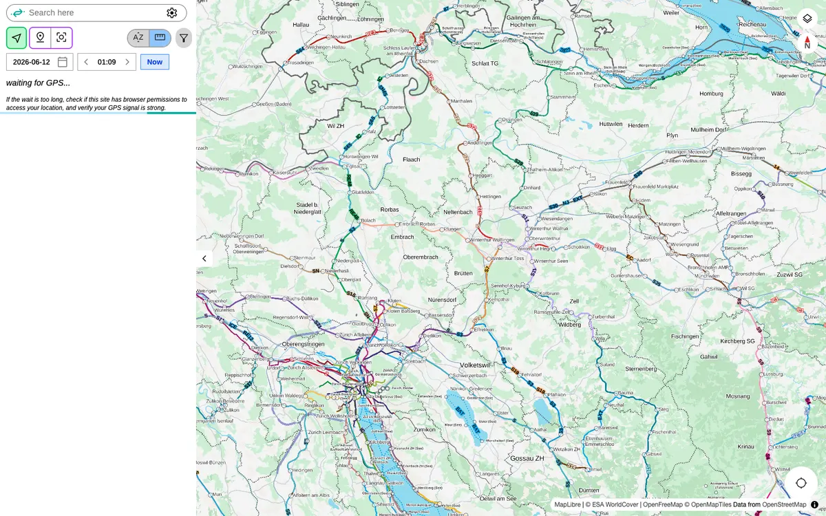

Catenary Maps
Open-source platform for real-time tracking of hundreds of public transit networks worldwide, with live vehicle positions, departures and service alerts.
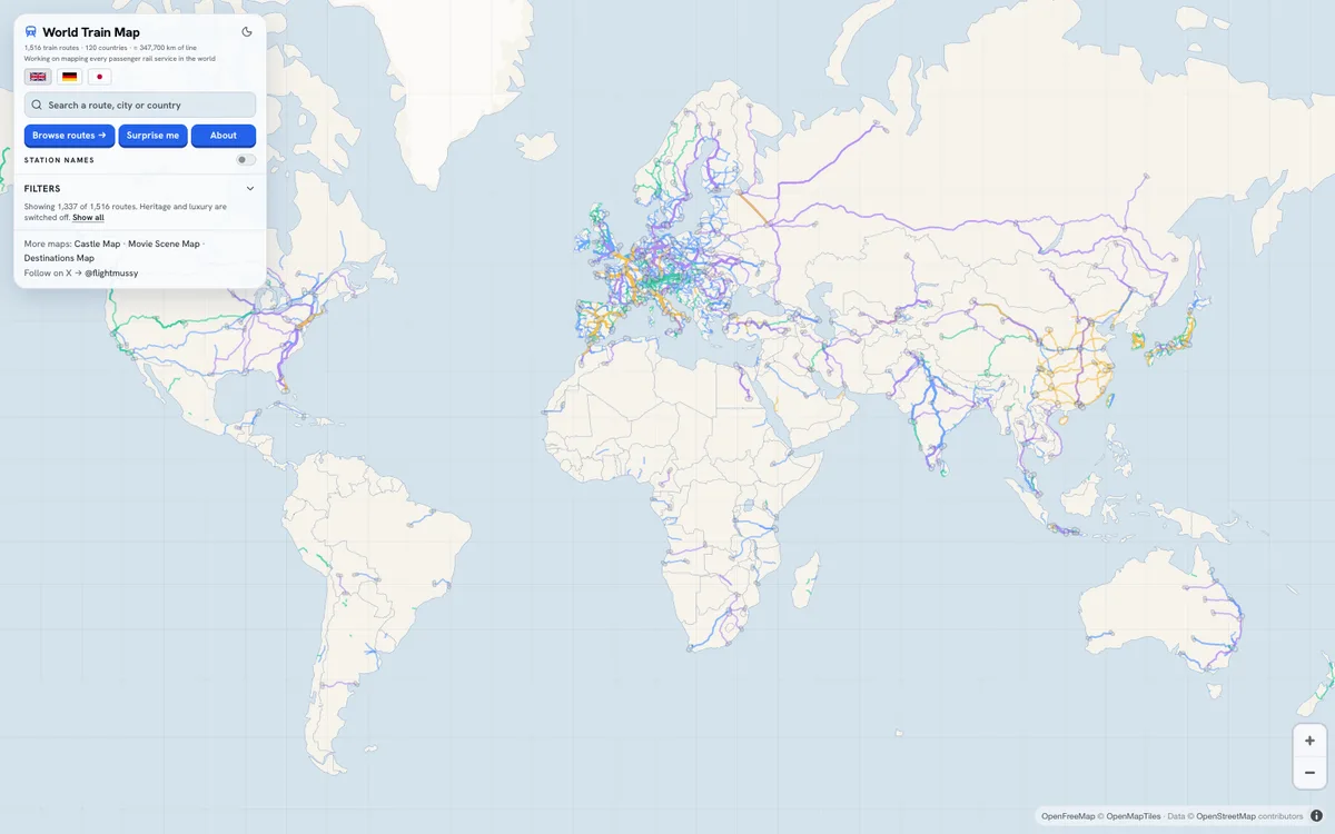

World Train Map
Free interactive railway atlas, formerly TrainRouter, with 1,516 passenger train routes in 120 countries, from high-speed and night trains to scenic and heritage lines.

Basel Go
Official public transport app for the Swiss city of Basel, built by Netcetera.

menetrend.app
Public transportation app in Hungary for route planning and transit navigation on Android.

SBB Mobile
Official public transport app of SBB, with station maps. SBB also publishes map SDKs for Android, iOS, and Flutter under MIT and a Journey Maps Tiles API for its map styles.

TrainSplit
Ticket-splitting service that finds the cheapest way to split British rail journeys across multiple tickets, with Android and iOS apps.

Transportr
Open-source public transport assistant for Android supporting many cities worldwide, built on public-transport-enabler, a transit library shared with other apps.
More themes
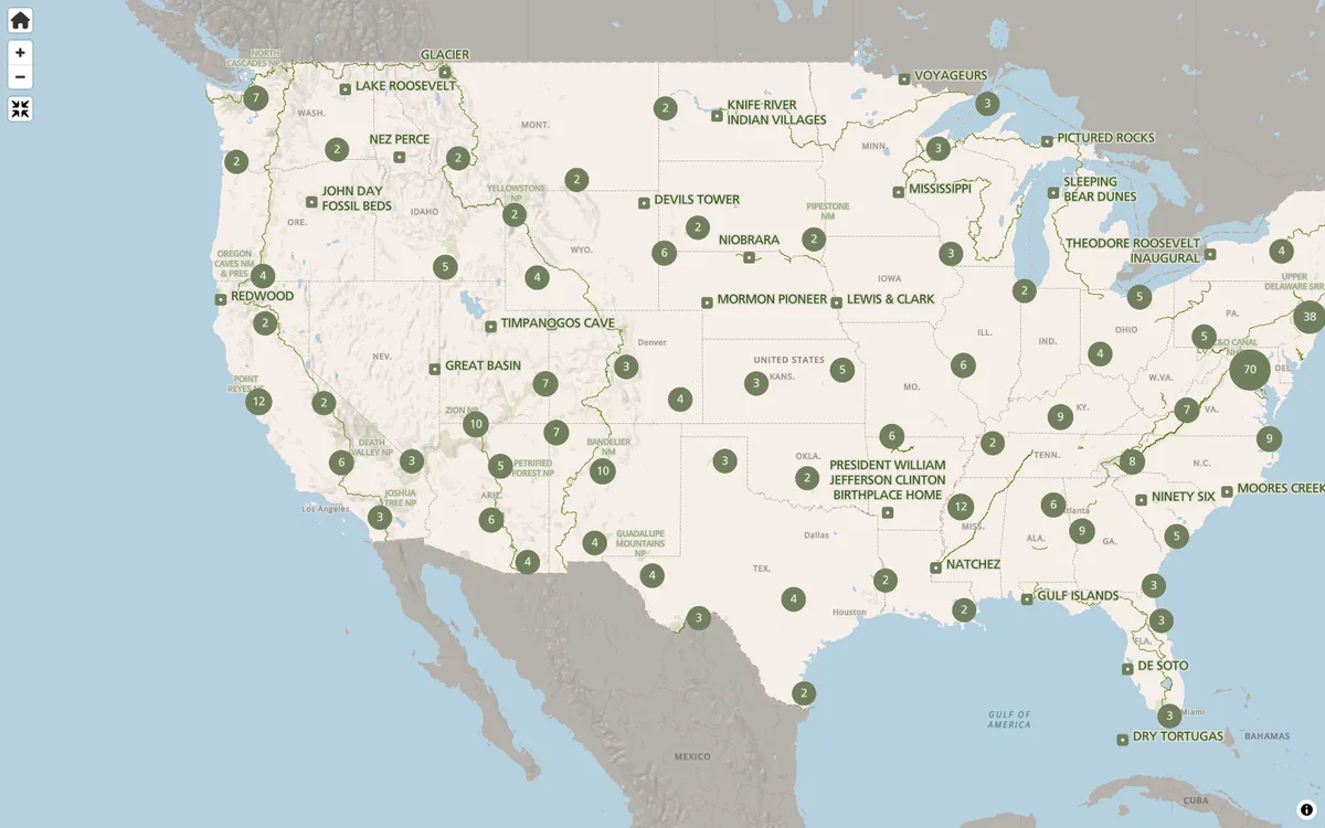
Outdoors
Hiking, mountain, paddling, and outdoor recreation maps rendered with MapLibre.
22 products
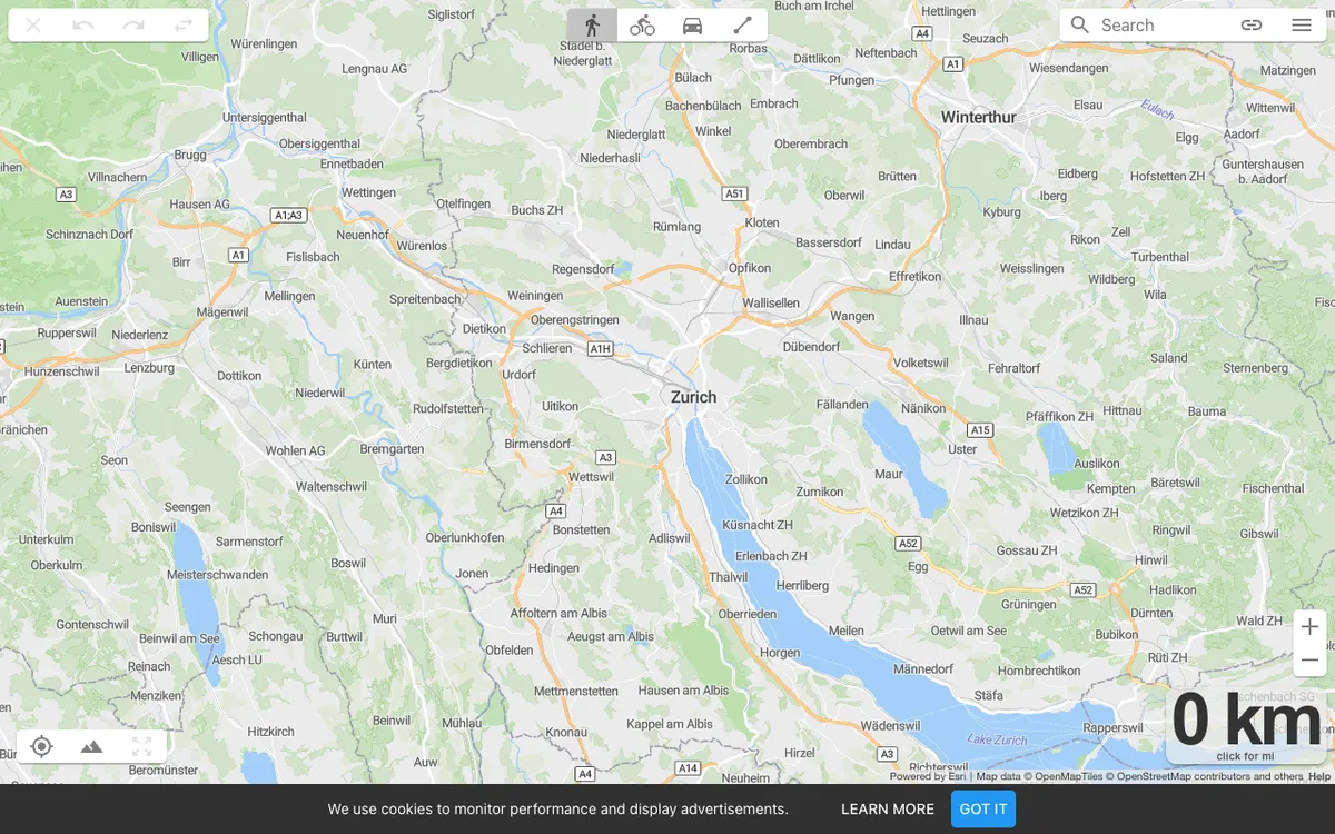
Cycling
Bike route planners, ride trackers, and cycling communities on MapLibre maps.
11 products
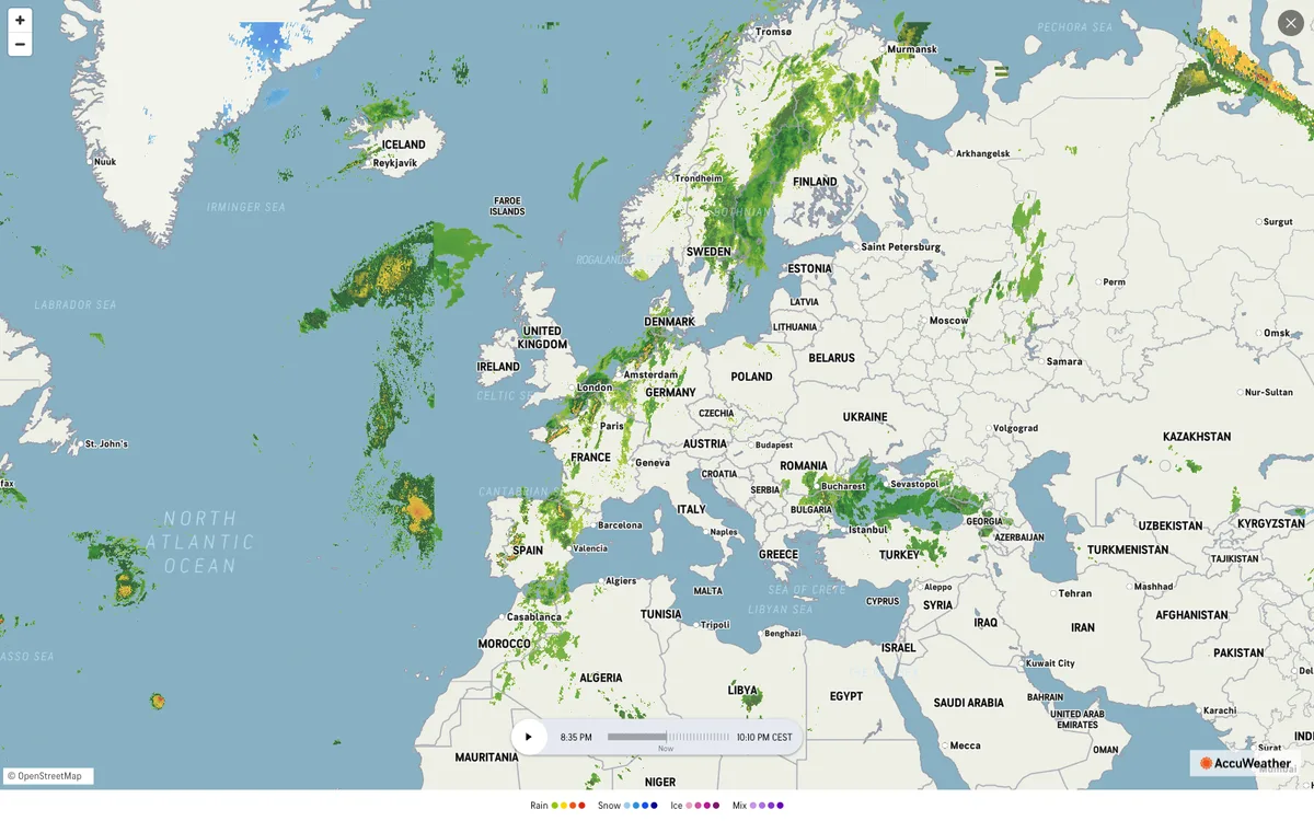
Weather & Hazards
Forecasts, radar, climate, and wildfire or flood alerts on MapLibre maps.
11 products
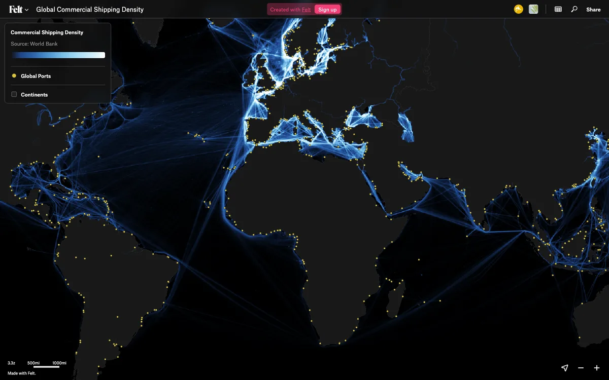
GIS & Analytics
GIS, data visualization, and BI dashboards that render with MapLibre.
17 products
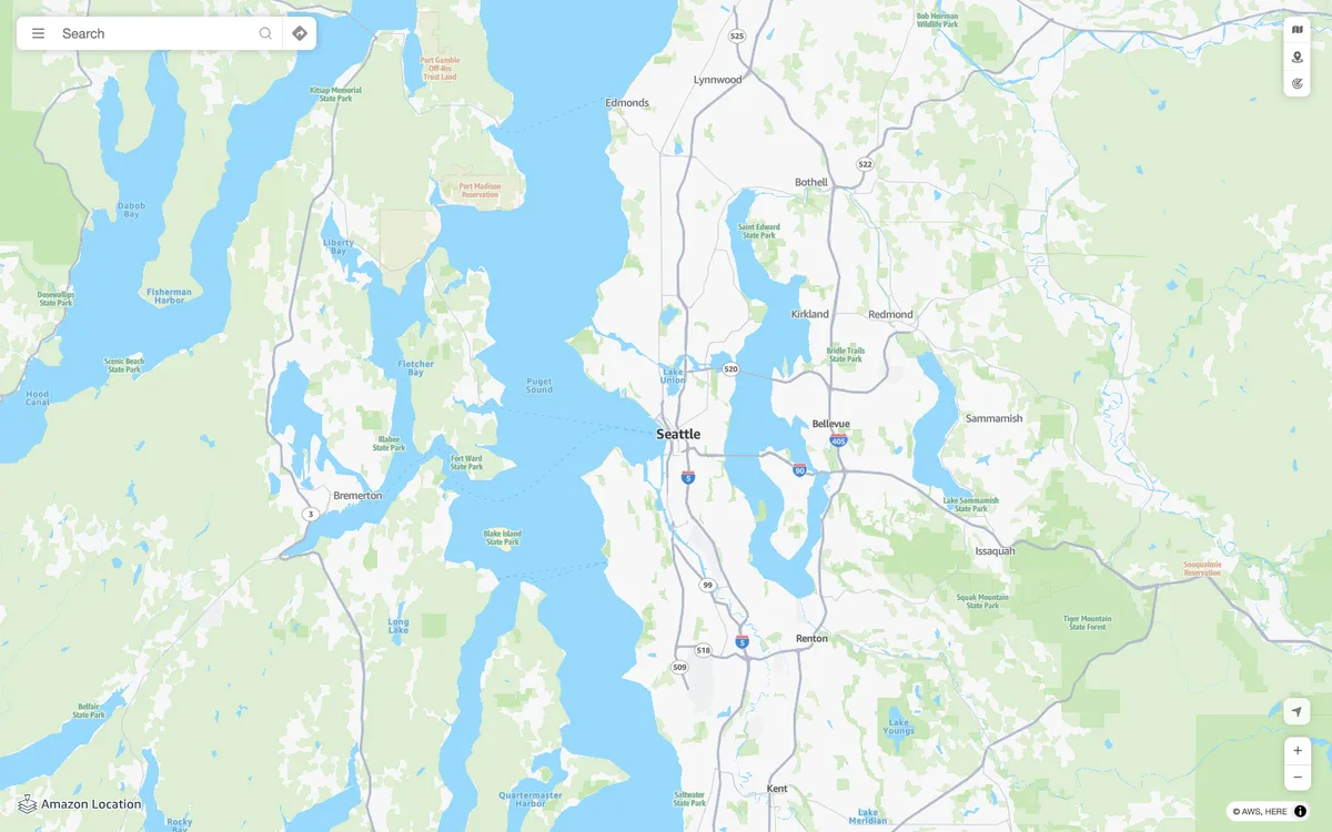
Developer Platform
Maps APIs, tile services, and geo cloud platforms that serve MapLibre maps.
15 products
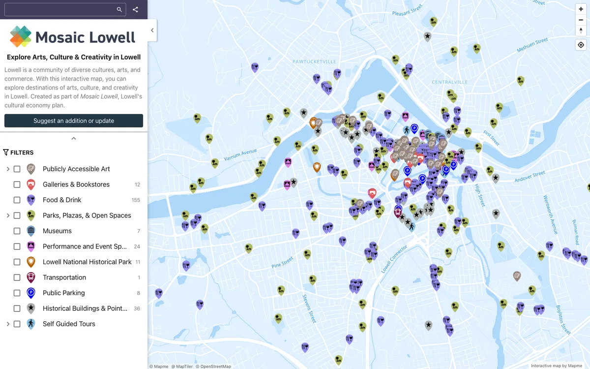
Map Making
No-code map builders and poster and print map tools made with MapLibre.
11 products
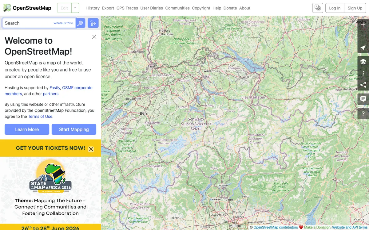
Community & Geodata
OpenStreetMap ecosystem, open geodata and knowledge, and historical map projects rendered with MapLibre.
16 products
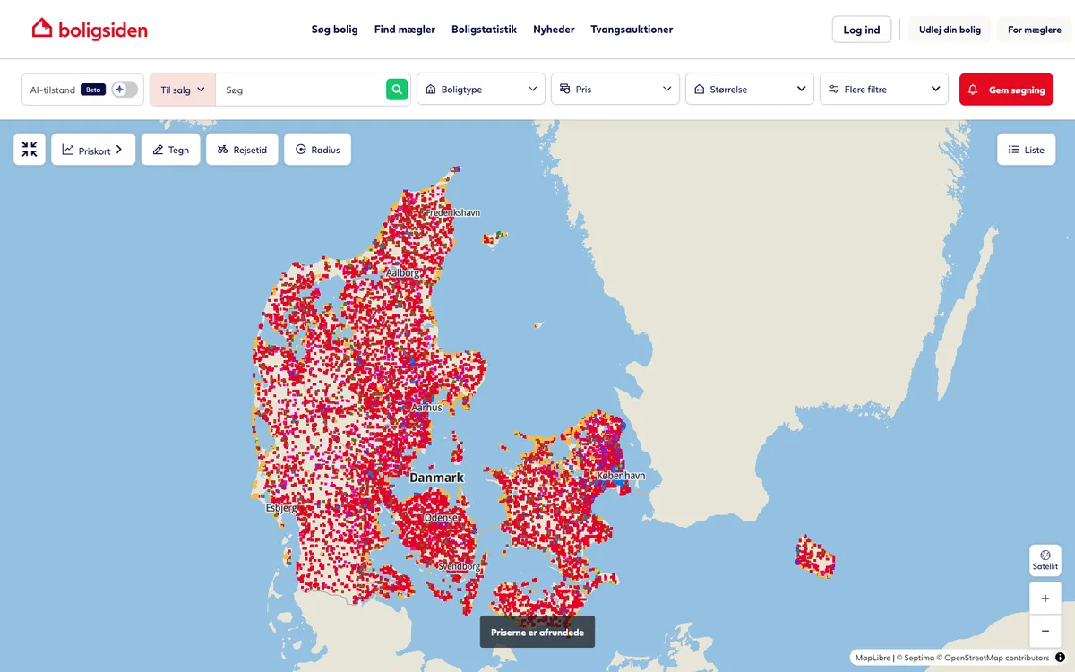
Real Estate
Property listing and search portals with MapLibre map search.
7 products
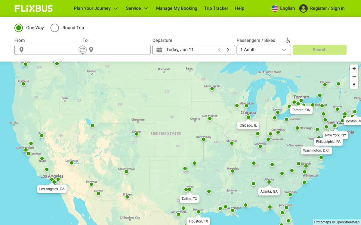
Mobility & Delivery
Ride-hailing, shared mobility, delivery, and parcel tracking on MapLibre maps.
10 products
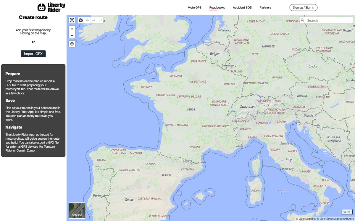
Driving & EV
Car and motorcycle apps, traffic, EV charging, and fuel maps using MapLibre.
7 products
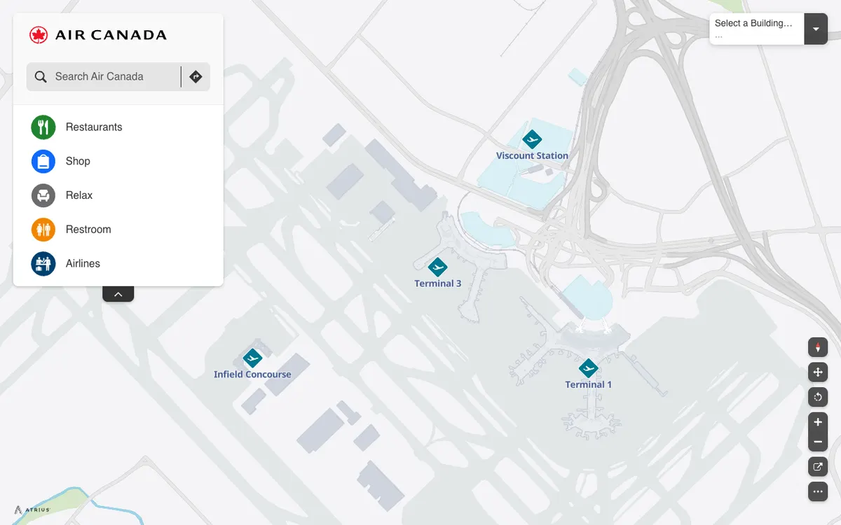
Travel
Tourism, airline, and hospitality products with MapLibre maps.
16 products
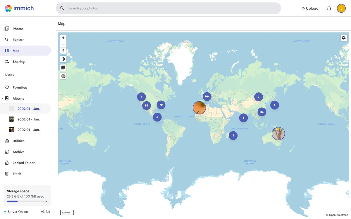
Social & Messaging
Social networks, messengers, and privacy apps with MapLibre-powered map features.
9 products
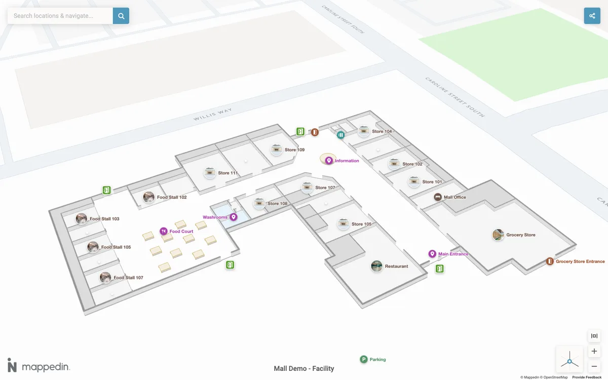
Indoor Mapping
Indoor maps, wayfinding, and venue navigation made with MapLibre.
7 products
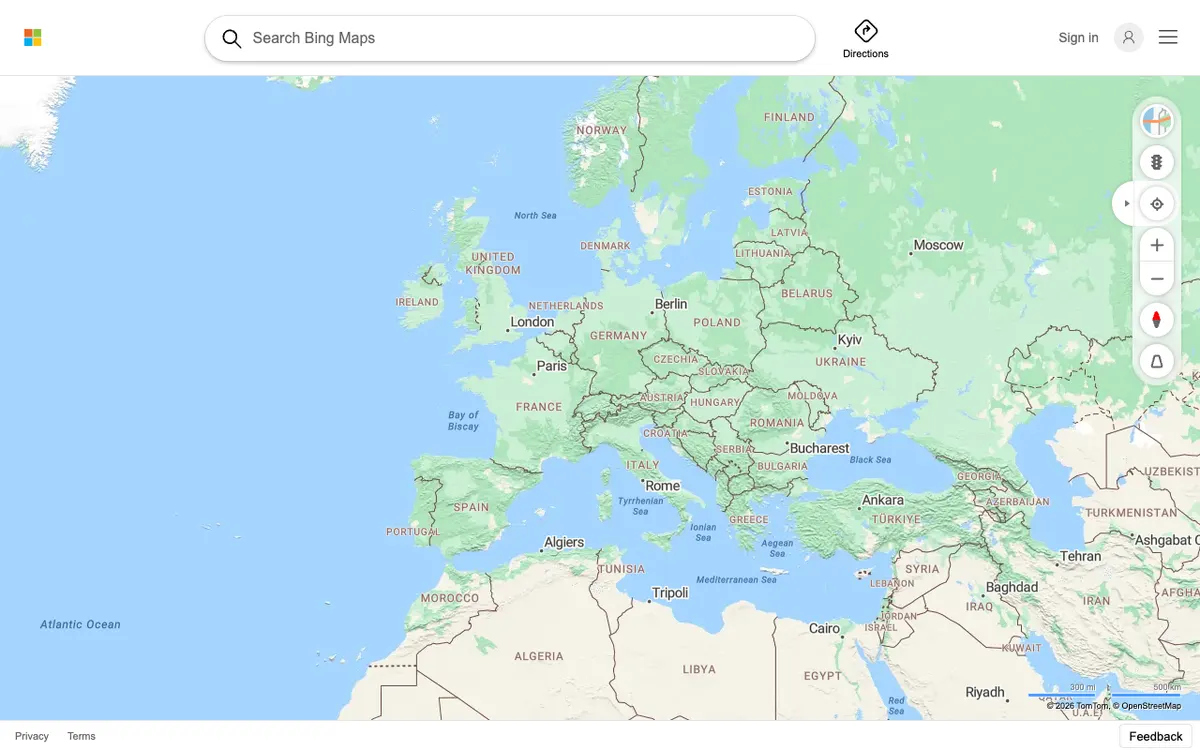
Maps & Navigation
General-purpose map apps, directions, and turn-by-turn navigation made with MapLibre.
19 products
Know of another public transport product?
Suggest products that use MapLibre for the showcase.