


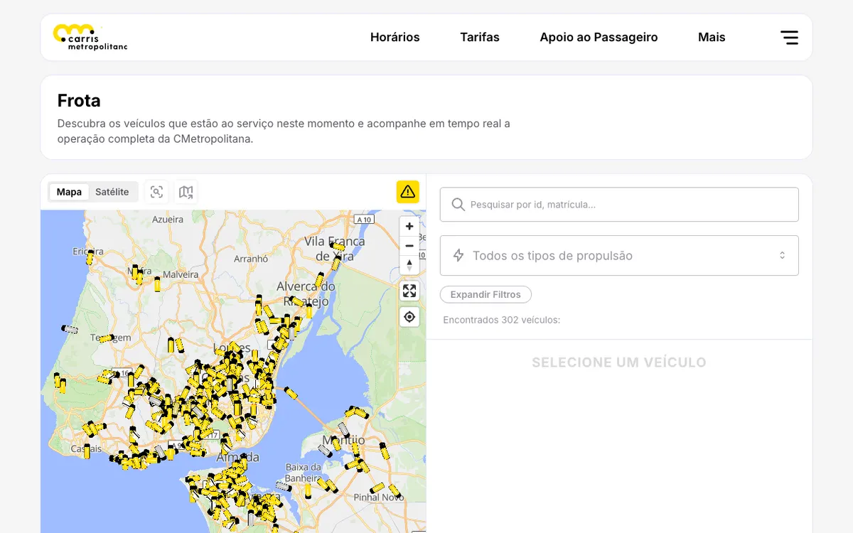
Public transport operator for the Lisbon metropolitan area in Portugal, with real-time vehicle tracking on an interactive map, a public REST API, and live GTFS feeds.
How Carris Metropolitana uses MapLibre
Its real-time vehicle tracking map is rendered with MapLibre GL JS, and the website source (Next.js, MapLibre GL JS) is published under AGPL-3.0.
What Carris Metropolitana offers you
- Public REST API for stops, arrivals, alerts and vehicle positions
- GTFS-RT vehicle positions and service alerts in Protobuf
- Download the live GTFS feed of routes, stops and schedules
- Georeferenced Lisbon-area facility datasets under ODbL
- Website source (Next.js, MapLibre GL JS) under AGPL-3.0
More public transport products
All public transport →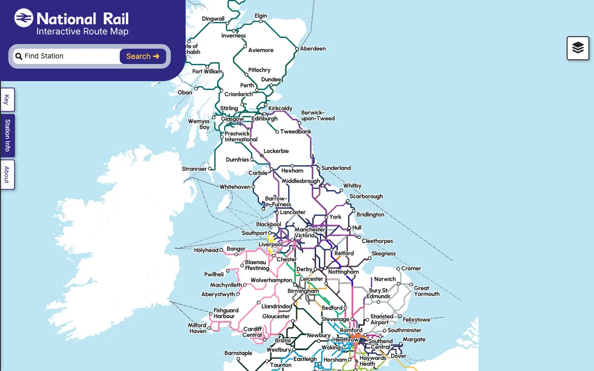

Rail Map
Interactive map of the UK's national rail network showing stations, routes and live service information.
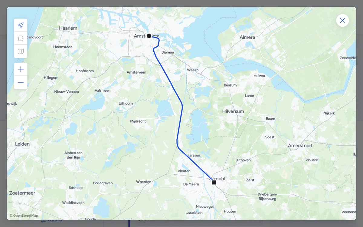

9292
Public transport trip planner for the Netherlands, with door-to-door journey planning across all Dutch transit operators and APIs for journeys, departures, and disruptions.
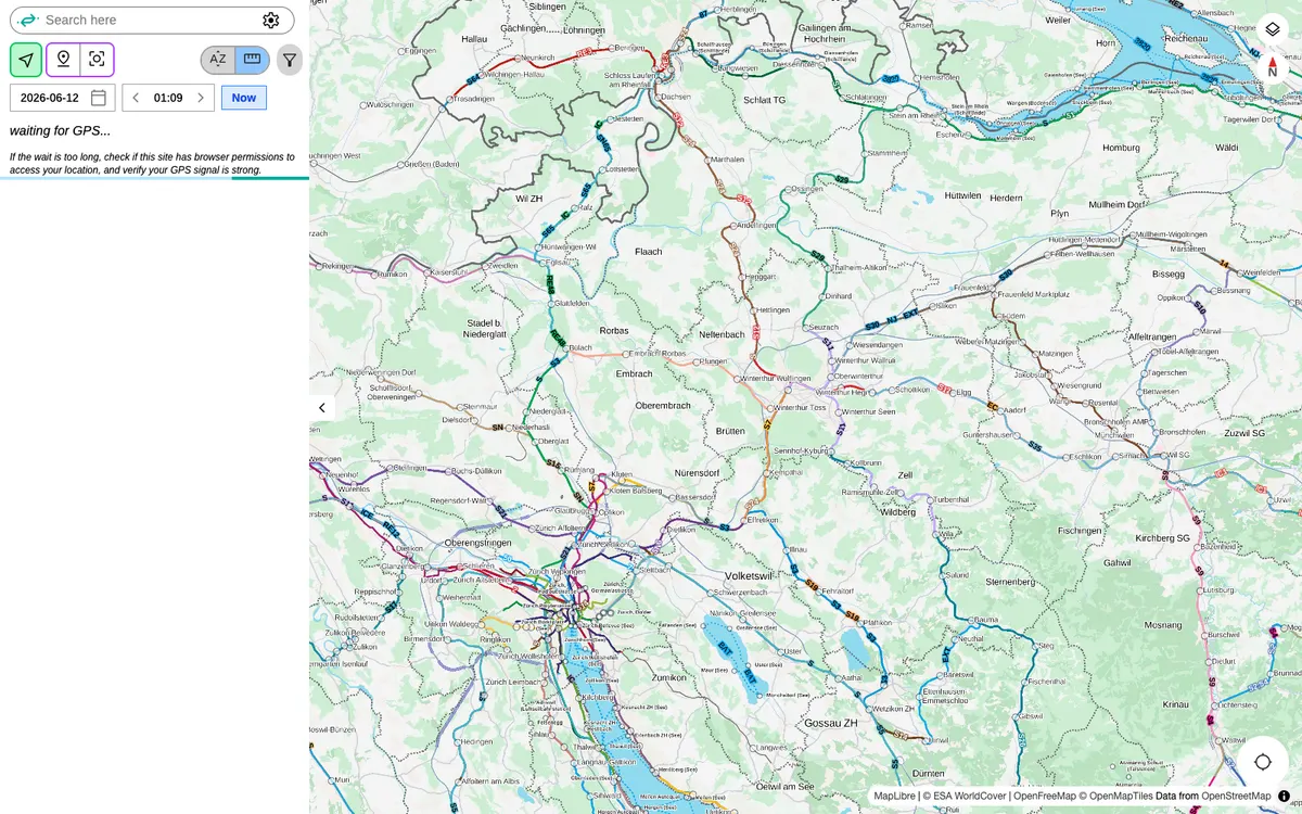

Catenary Maps
Open-source platform for real-time tracking of hundreds of public transit networks worldwide, with live vehicle positions, departures and service alerts.