


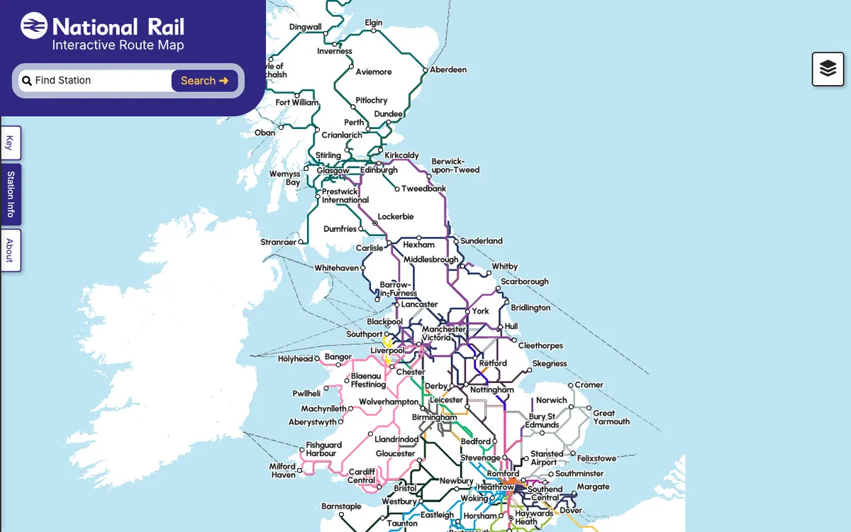
Interactive map of the UK's national rail network showing stations, routes and live service information.
How Rail Map uses MapLibre
Its interactive map is rendered with MapLibre GL JS.
What Rail Map offers you
- Darwin feeds with real-time arrivals, departures and platforms
- Knowledgebase XML and REST data on stations, disruptions and engineering work
- Journey planner and fares SOAP APIs under a formal licence
- Historic Service Performance data for up to one year back
- More rail data through the Rail Data Marketplace
From nationalrail.co.uk
More public transport products
All public transport →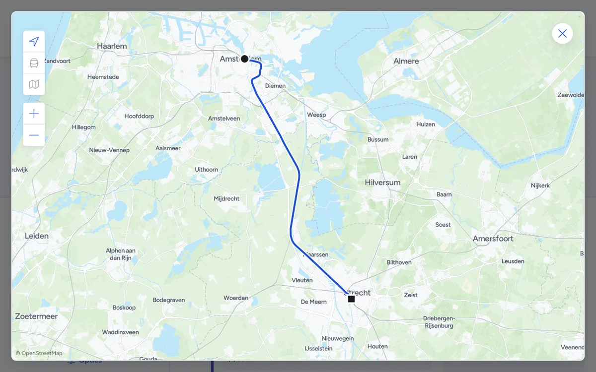

9292
Public transport trip planner for the Netherlands, with door-to-door journey planning across all Dutch transit operators and APIs for journeys, departures, and disruptions.
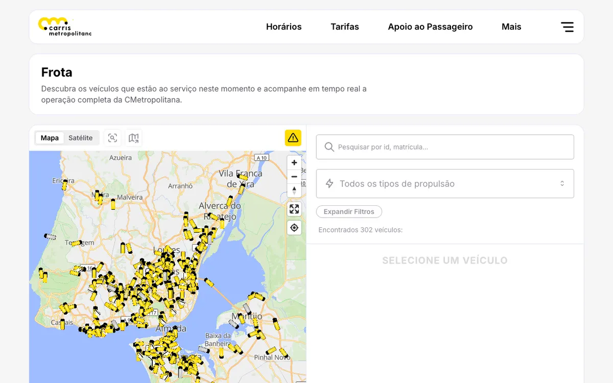

Carris Metropolitana
Public transport operator for the Lisbon metropolitan area in Portugal, with real-time vehicle tracking on an interactive map, a public REST API, and live GTFS feeds.
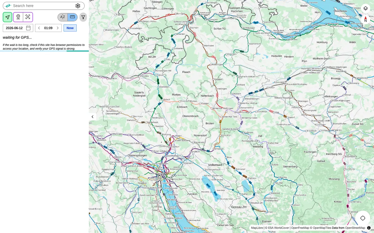

Catenary Maps
Open-source platform for real-time tracking of hundreds of public transit networks worldwide, with live vehicle positions, departures and service alerts.