


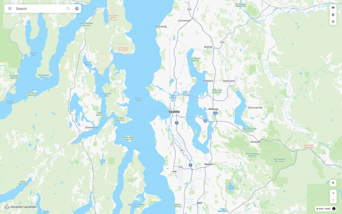
AWS managed mapping platform with map tiles, styles, and static map images, plus geocoding, place search, routing, geofencing, and device tracking APIs.
How Amazon Location Service uses MapLibre
Amazon Location's web components and examples use MapLibre GL JS and MapLibre Native, and it provides map styles for MapLibre and an open-source MapLibre geocoder.
What Amazon Location Service offers you
- Map tiles and ready-made styles for MapLibre, plus static map images
- Geocoding, reverse geocoding, autocomplete, and place search APIs
- Routing, route matrices, isolines, waypoint optimization, and snap to roads
- Geofences and device trackers that send enter and exit events
- Open-source libraries for authentication, GeoJSON conversion, and a MapLibre geocoder
From docs.aws.amazon.com
More developer platform products
All developer platform →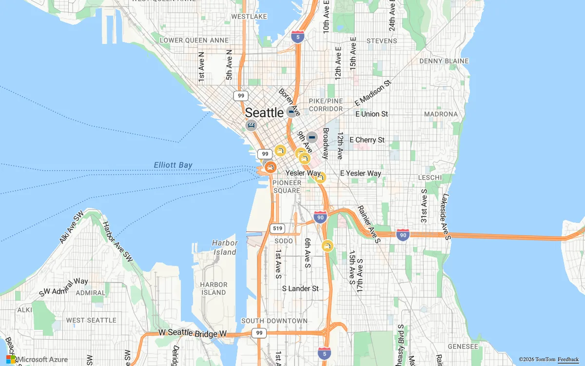

Azure Maps
Microsoft cloud geospatial services for developers and enterprises, with vector and raster map tiles, satellite imagery, geocoding, routing, and traffic, weather, and geofencing APIs.
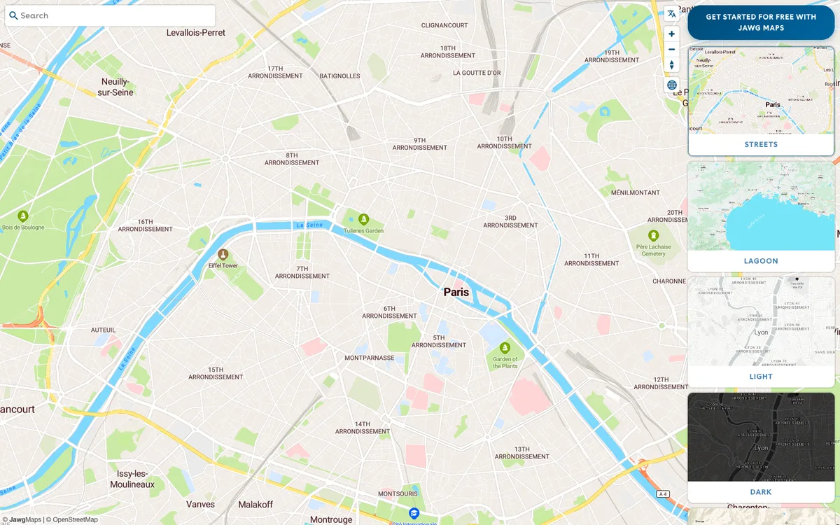

Jawg
French provider of a full location stack: customisable OpenStreetMap-based map tiles, a style editor, and geocoding, routing, elevation, and static map APIs.
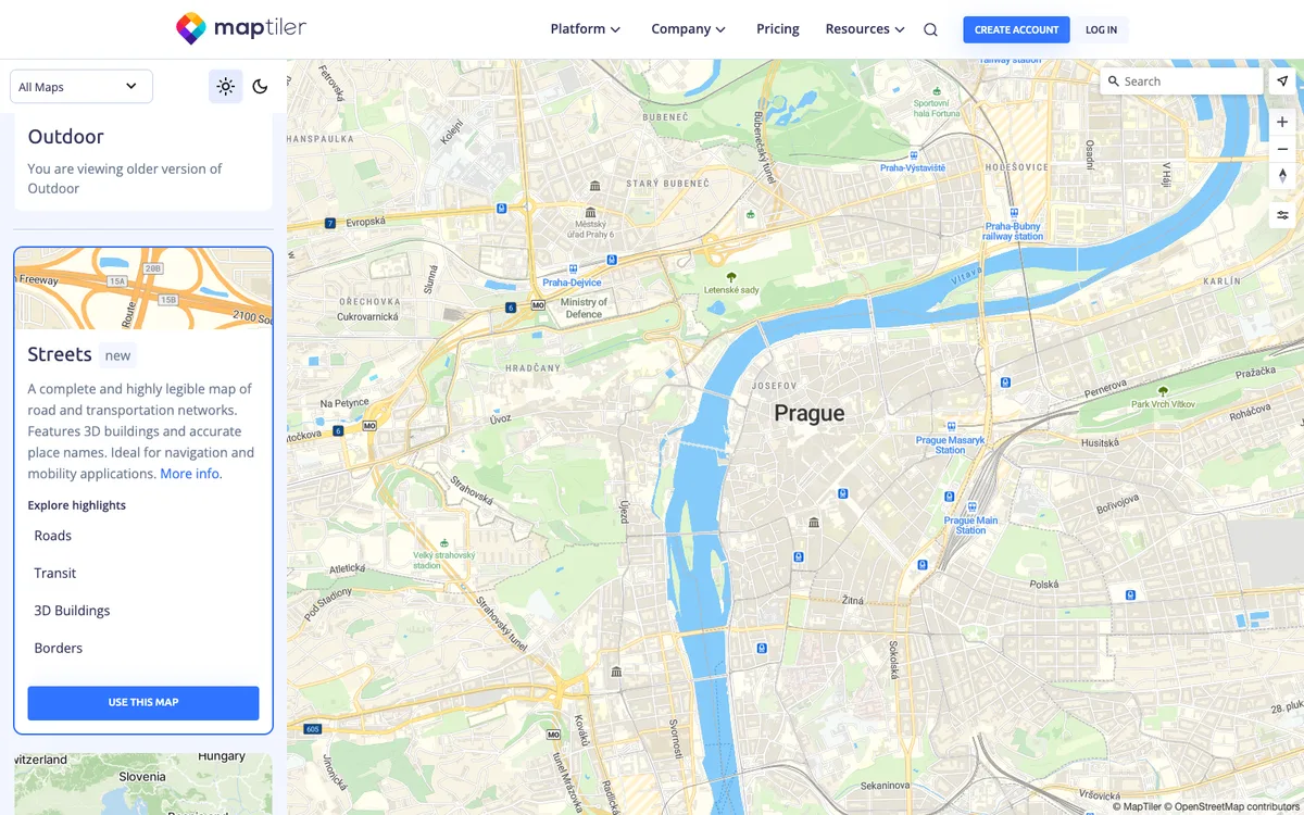

MapTiler Cloud & SDK JS
Maps API and tile service for web and mobile, with ready-made vector styles, geocoding and static map APIs, a Map Designer for custom styles, and MapTiler Server for self-hosted maps.