

A geocoder control for MapLibre GL JS that adds an address search box to the map with support for multiple geocoding providers.
Used by 4 products
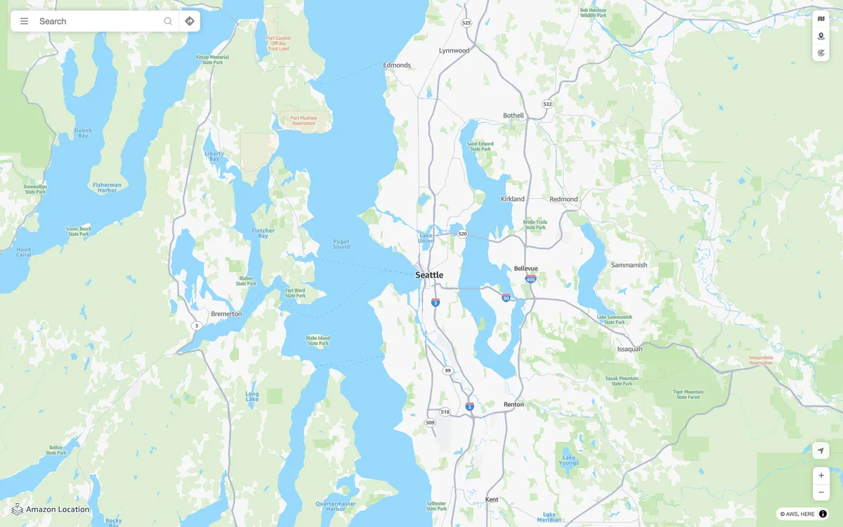

Amazon Location Service
AWS managed mapping platform with map tiles, styles, and static map images, plus geocoding, place search, routing, geofencing, and device tracking APIs.
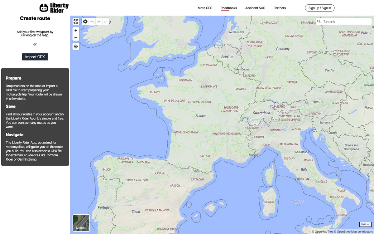

Liberty Rider
Motorbike safety app that detects accidents and calls for help, with GPS navigation and route planning.
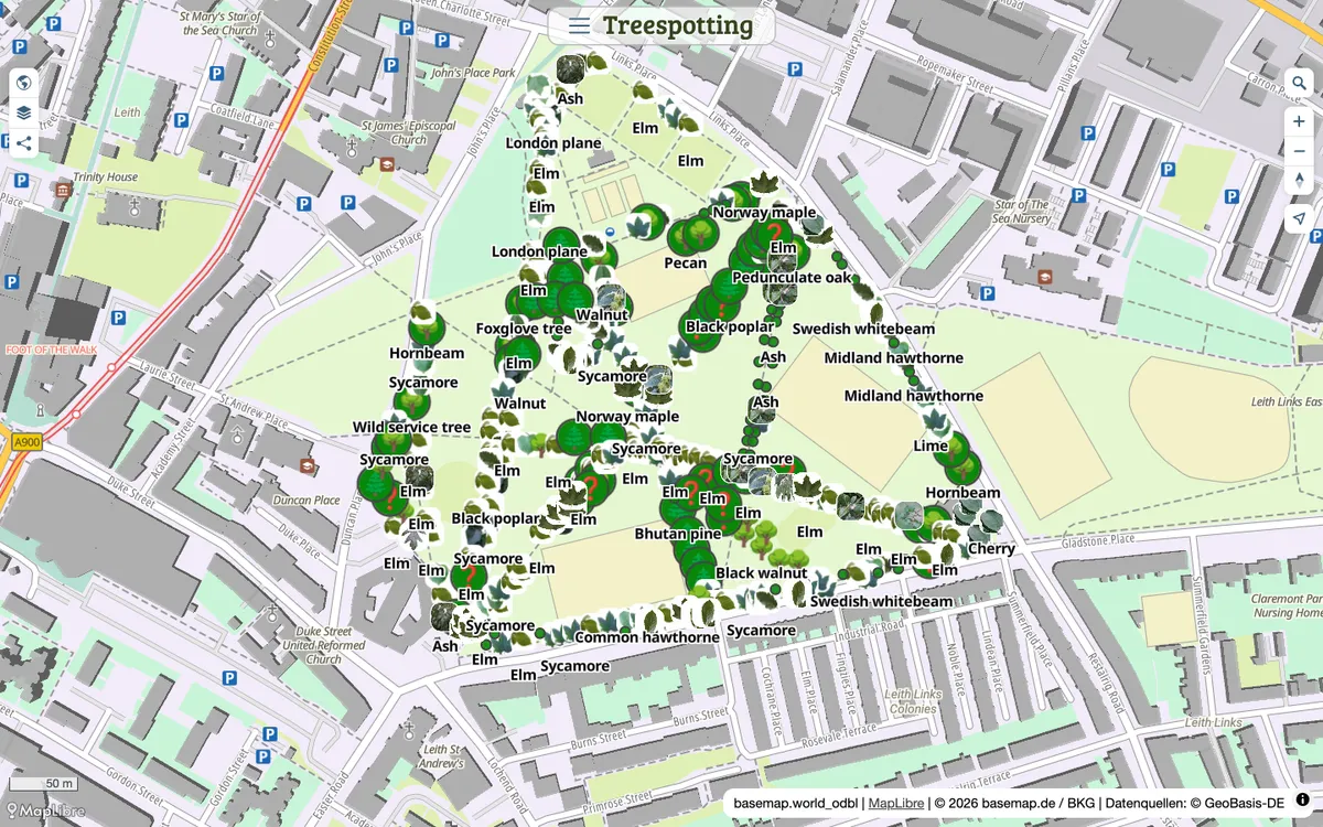

Mapforge
Open-source map editor for drawing, styling, and sharing GeoJSON maps, with live collaboration, routing, Overpass layers, and GeoJSON, GPX, and KML import and export.
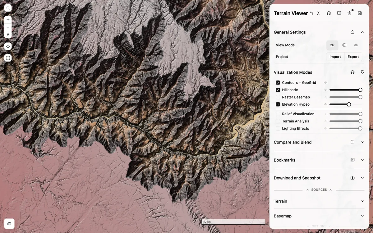

Terrain Viewer
Free, open-source web tool for exploring, comparing, and exporting terrain visualizations such as hillshade, hypsometric tint, contours, slope, and sky-view factor over global and national elevation data.