

Mapforge
Collaborative map editor, open source
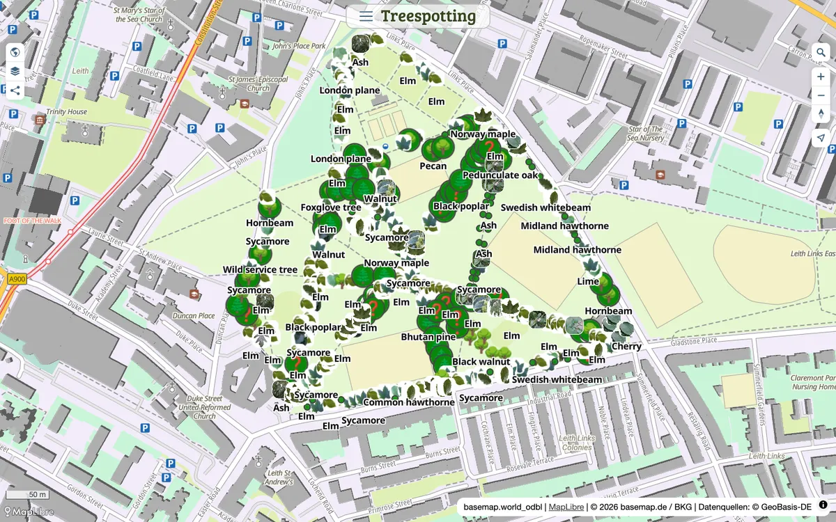
Open-source map editor for drawing, styling, and sharing GeoJSON maps, with live collaboration, routing, Overpass layers, and GeoJSON, GPX, and KML import and export.
How Mapforge uses MapLibre
Maps in Mapforge are rendered with MapLibre GL JS.
What Mapforge offers you
- Draw and style GeoJSON maps on vector base maps with 3D terrain
- Import and export GeoJSON, GPX, and KML
- Real-time collaborative editing, share links, and embeds for your own site
- Route planning for walking, cycling, and driving with elevation profiles
- Self-hostable with Docker Compose, open source under AGPL-3.0
From mapforge.org, github.com
More map making products
All map making →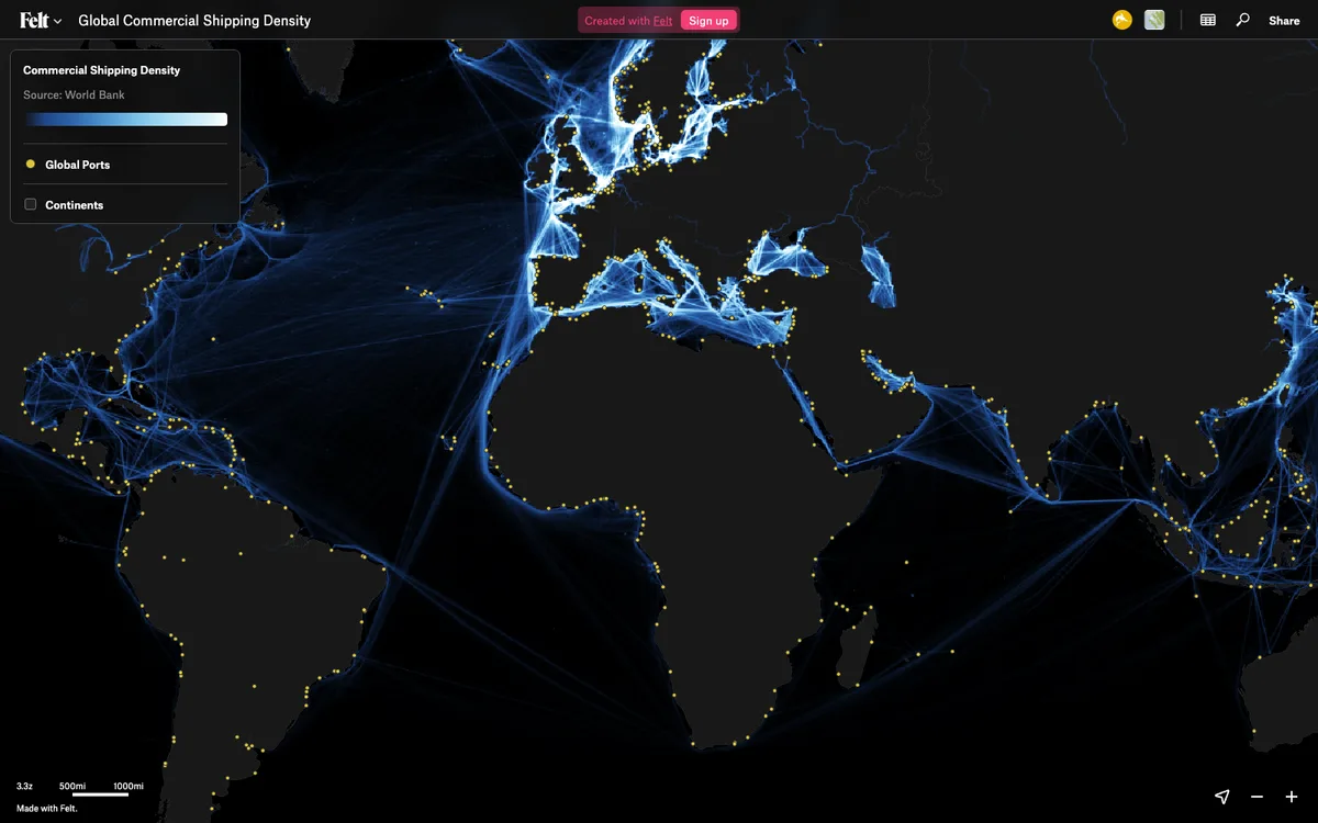

Felt
Cloud-native collaborative GIS for uploading geodata, running spatial analysis, building dashboards, and sharing or embedding maps, all in the browser.
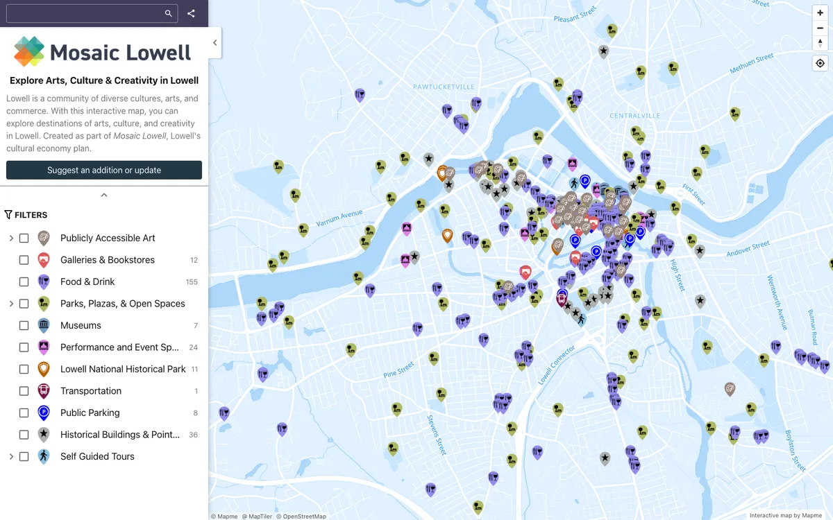

Mapme
No-code builder that lets organizations create and embed interactive maps, importing locations from Excel, CSV, or Google Sheets and overlaying site plans, floor plans, or drone shots.
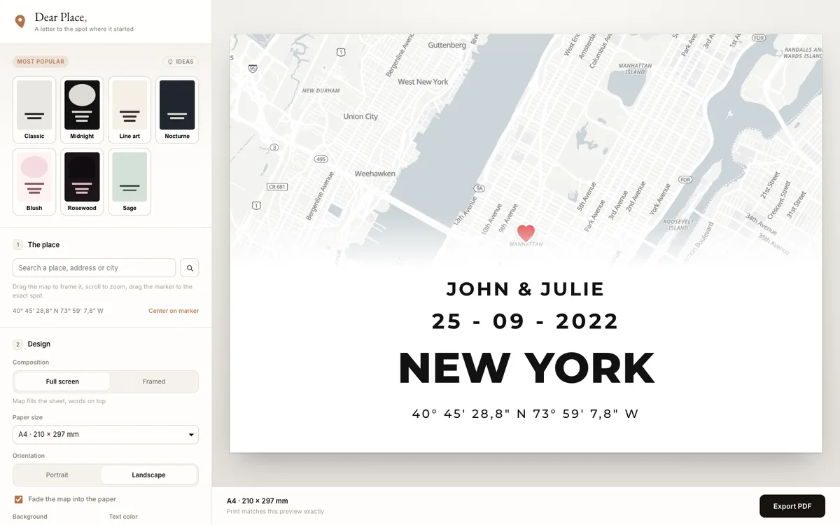

Dear Place
Browser-based editor that turns any place on earth into a print-ready map poster, with PDF export.