


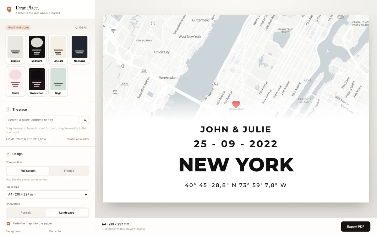
Browser-based editor that turns any place on earth into a print-ready map poster, with PDF export.
How Dear Place uses MapLibre
Its editor draws a live MapLibre GL JS map as a Leaflet layer over OpenFreeMap tiles, and the PDF export renders the same view from an offscreen MapLibre map at print pixel ratio.
More map making products
All map making →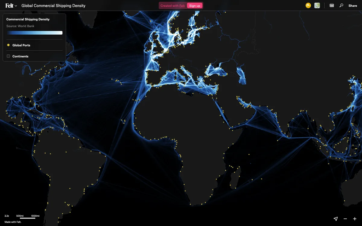

Felt
Cloud-native collaborative GIS for uploading geodata, running spatial analysis, building dashboards, and sharing or embedding maps, all in the browser.
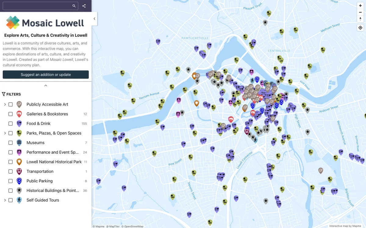

Mapme
No-code builder that lets organizations create and embed interactive maps, importing locations from Excel, CSV, or Google Sheets and overlaying site plans, floor plans, or drone shots.
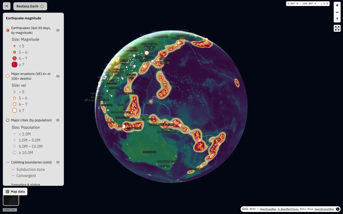

GeoLens
Open-source, self-hosted catalog for geospatial data with semantic search, OGC APIs, and a map builder for composing and sharing multi-layer maps.