


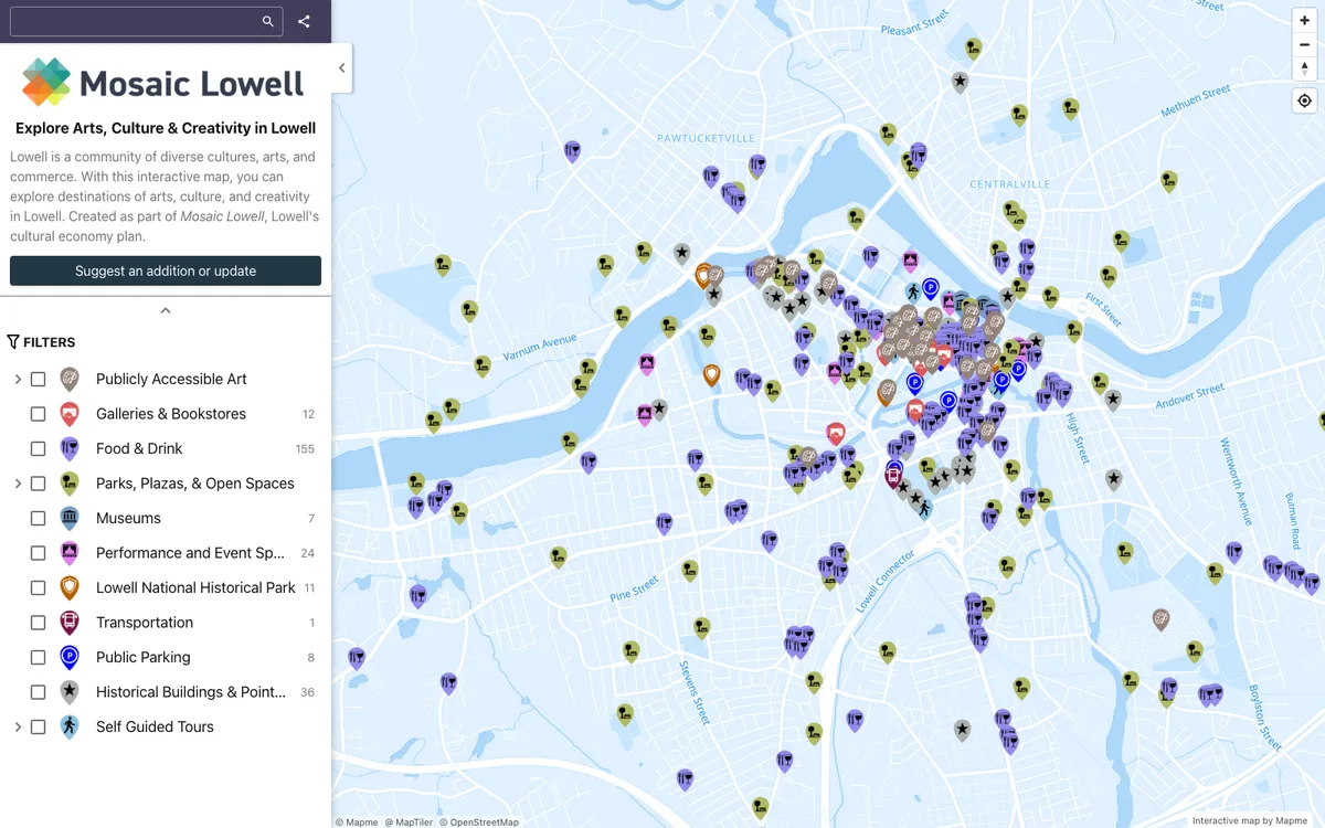
No-code builder that lets organizations create and embed interactive maps, importing locations from Excel, CSV, or Google Sheets and overlaying site plans, floor plans, or drone shots.
How Mapme uses MapLibre
Both the Mapme editor and published maps are rendered with MapLibre GL JS.
What Mapme offers you
- No-code editor for building interactive maps
- Import locations from Excel or CSV, or sync with Google Sheets
- Overlay custom images such as site plans, floor plans, or drone shots
- Embed maps in websites such as WordPress, Wix, Squarespace, and Webflow
- Crowdsource locations through connected Google Forms or JotForm
From mapme.com
More map making products
All map making →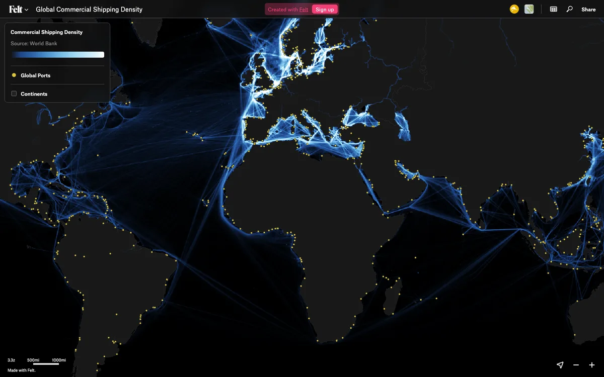

Felt
Cloud-native collaborative GIS for uploading geodata, running spatial analysis, building dashboards, and sharing or embedding maps, all in the browser.
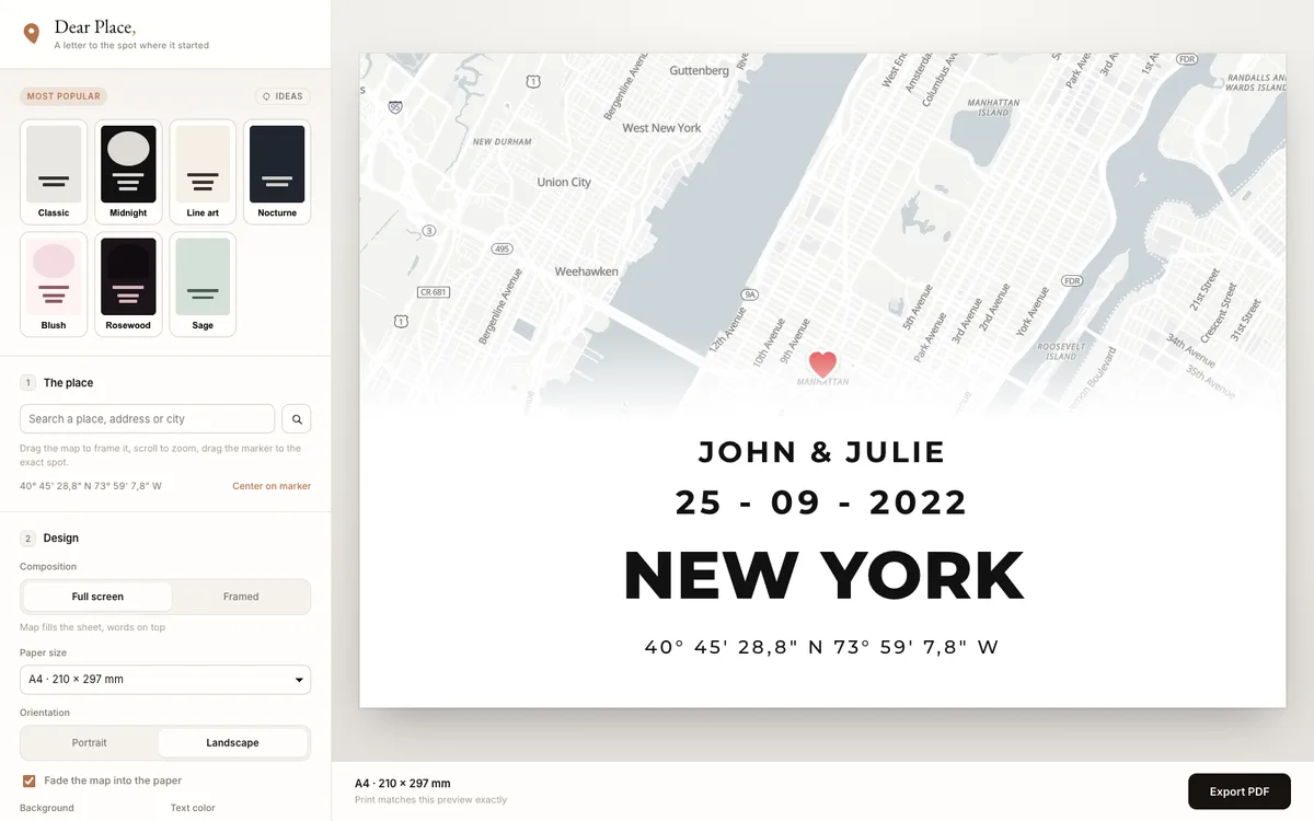

Dear Place
Browser-based editor that turns any place on earth into a print-ready map poster, with PDF export.
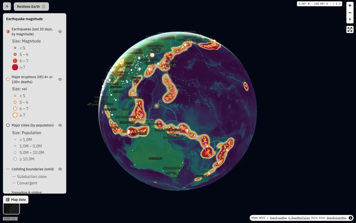

GeoLens
Open-source, self-hosted catalog for geospatial data with semantic search, OGC APIs, and a map builder for composing and sharing multi-layer maps.