


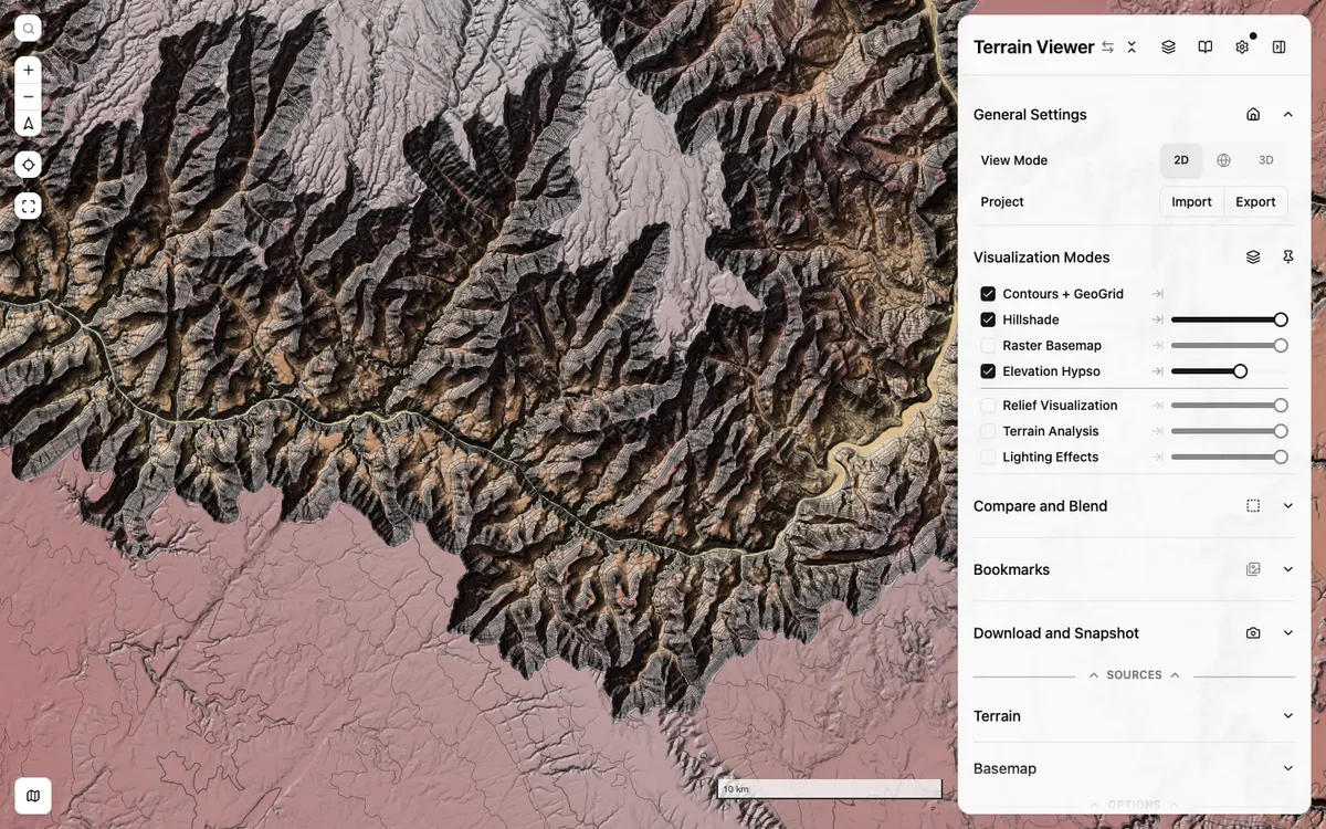
Free web tool for exploring, comparing, and exporting terrain visualizations such as hillshade, hypsometric tint, contours, slope, and sky-view factor over global and national elevation data. It is built on MapLibre GL JS with react-map-gl.
More gis & analytics products
All gis & analytics →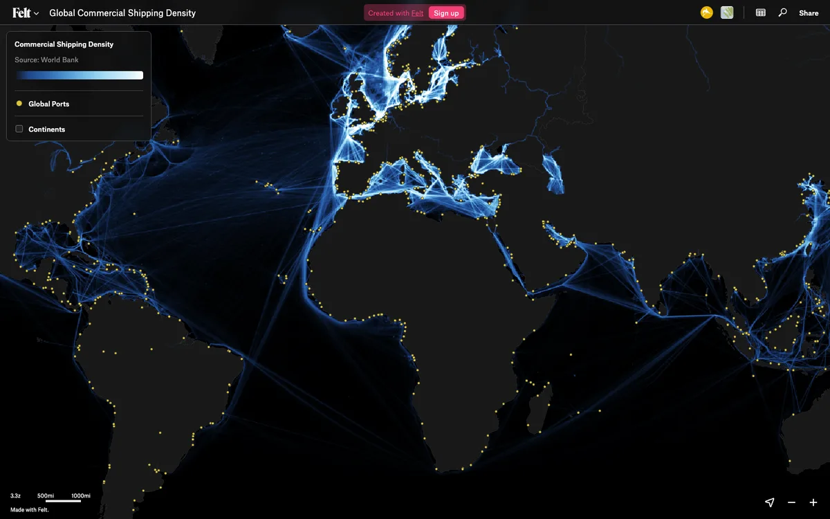

Felt
Felt lets teams upload any geodata, run spatial analysis and build dashboards in the browser. The live map canvas is rendered with MapLibre GL JS.
GL JS · Web · Story

CARTO
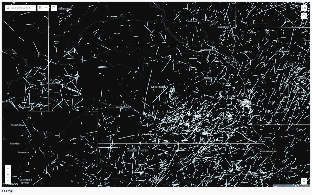
CARTO's default basemap and deck.gl examples are rendered with MapLibre GL JS, providing flexible open-source maps across their platform.
GL JS · Web

Elastic Maps
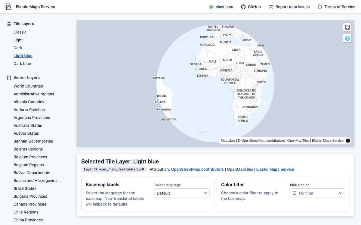
Elastic Maps provides powerful geospatial analytics and visualization capabilities built on MapLibre GL JS for interactive data exploration.
GL JS · Web