


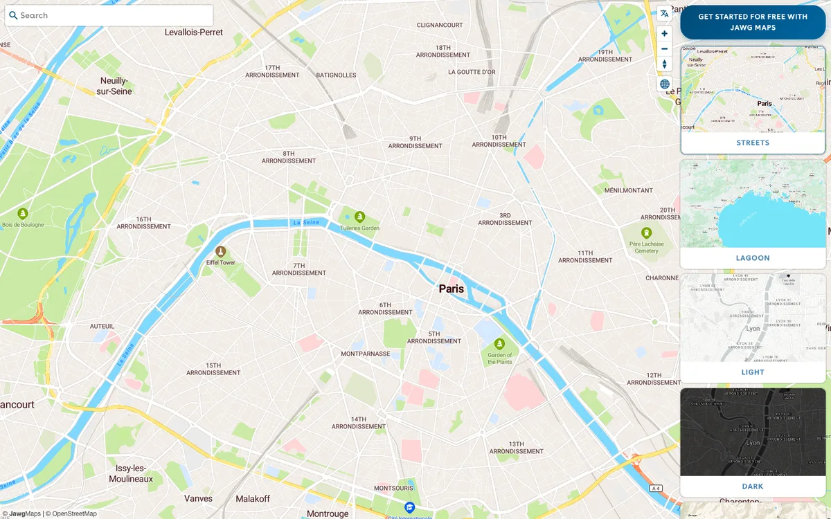
French provider of a full location stack: customisable OpenStreetMap-based map tiles, a style editor, and geocoding, routing, elevation, and static map APIs.
How Jawg uses MapLibre
Jawg's JS library and demo playground run on MapLibre GL JS, its mobile SDKs integrate MapLibre Native, and custom styles from the Jawg Lab editor can be used in MapLibre.
What Jawg offers you
- Vector and raster map tiles based on OpenStreetMap, with ready-made styles
- Jawg Lab editor for custom map styles, usable in MapLibre
- Guides for MapLibre GL JS, MapLibre Android and iOS, React Native, and Leaflet
- Geocoding, reverse geocoding, and place details API with a search bar library
- Routing, elevation profile, and static map image APIs
From jawg.io
More developer platform products
All developer platform →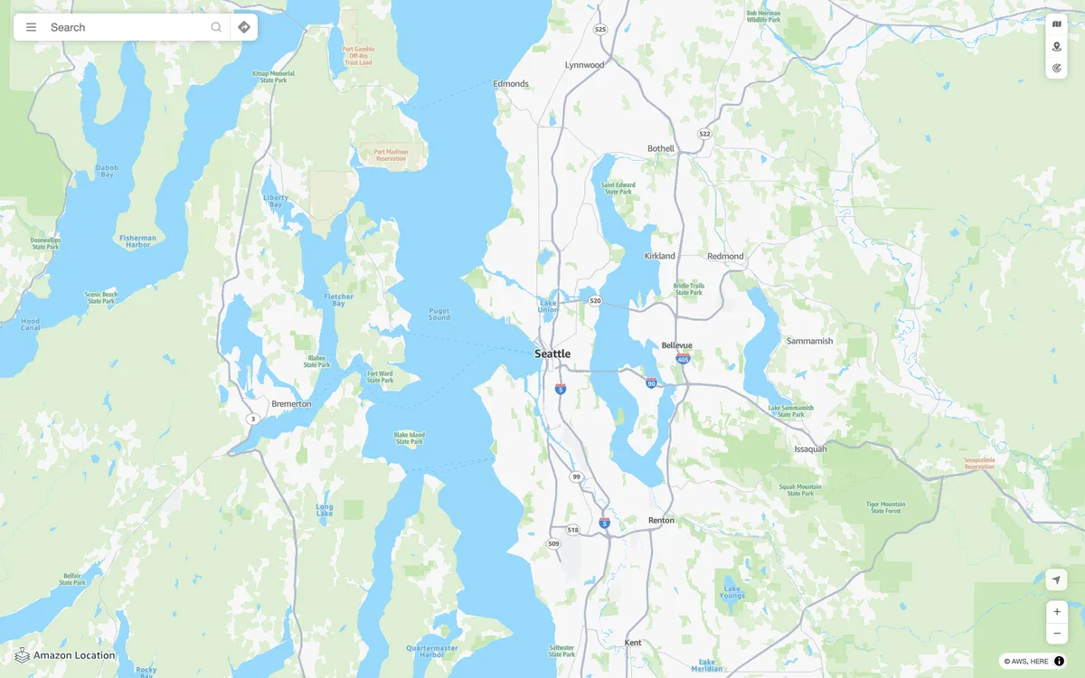

Amazon Location Service
AWS managed mapping platform with map tiles, styles, and static map images, plus geocoding, place search, routing, geofencing, and device tracking APIs.

Azure Maps
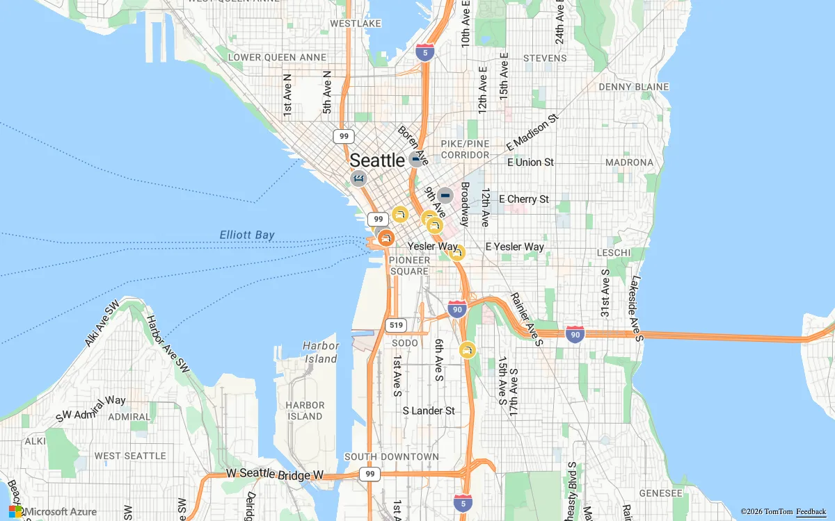
Microsoft cloud geospatial services for developers and enterprises, with vector and raster map tiles, satellite imagery, geocoding, routing, and traffic, weather, and geofencing APIs.

MapTiler Cloud & SDK JS
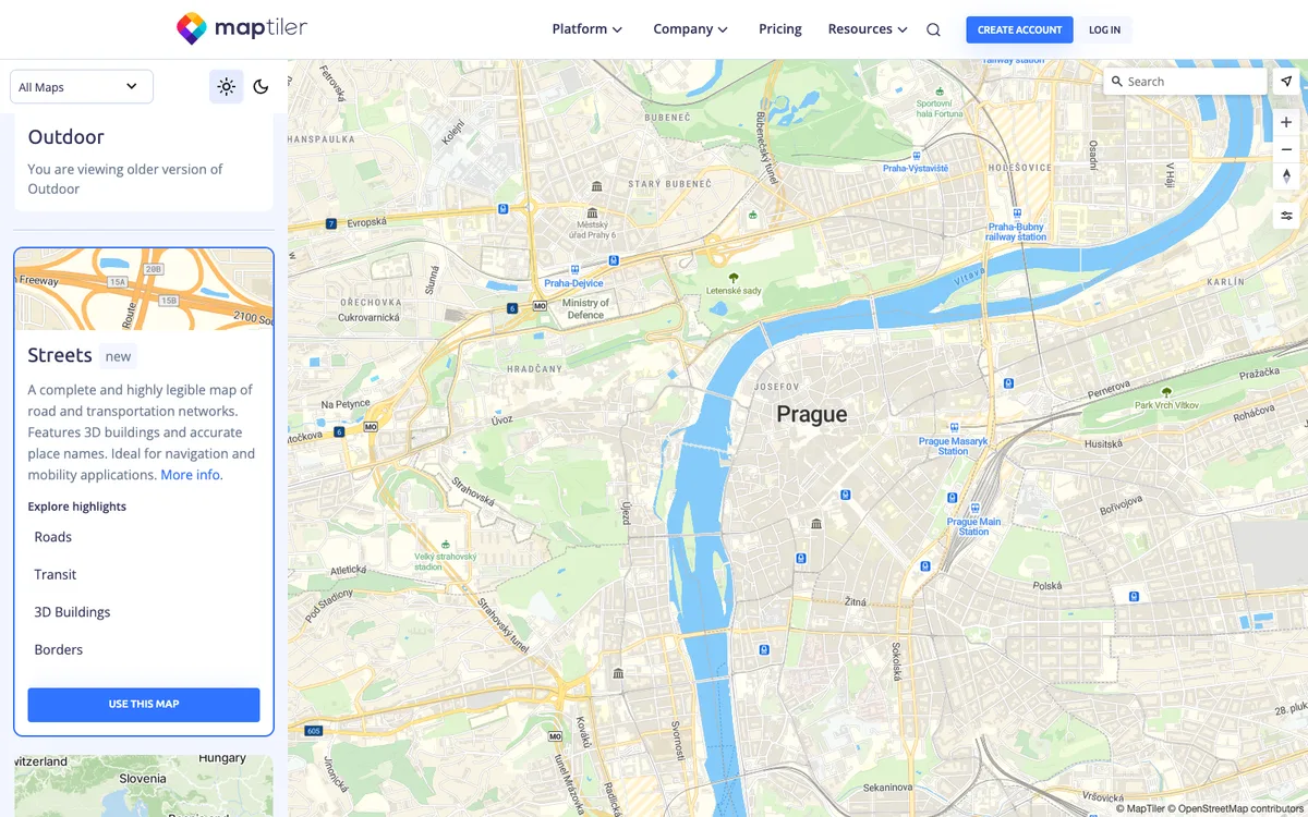
Maps API and tile service for web and mobile, with ready-made vector styles, geocoding and static map APIs, a Map Designer for custom styles, and MapTiler Server for self-hosted maps.