


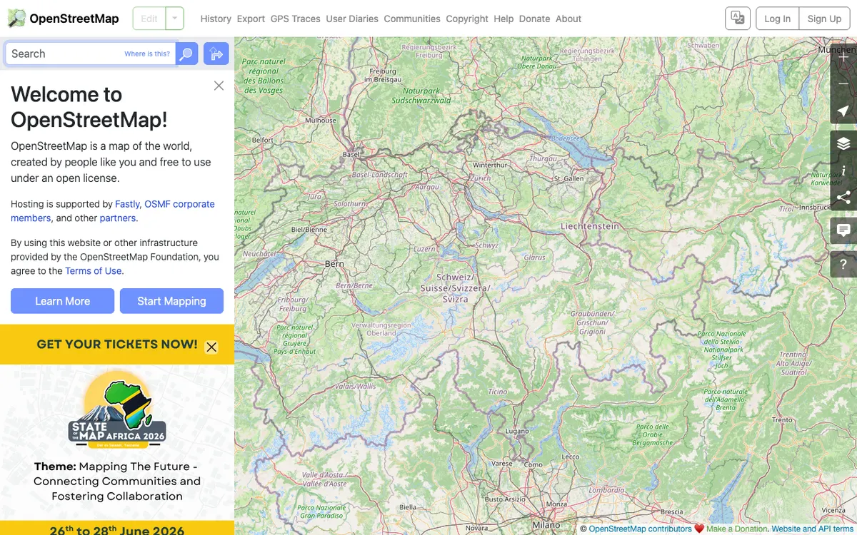
Free wiki world map whose data is available under the ODbL, with whole-planet downloads, Shortbread vector tiles, and an editing API for contributing data back.
How OpenStreetMap uses MapLibre
OpenStreetMap.org uses MapLibre GL JS for its vector tile map layer on the web and also runs MapLibre server-side to render raster tiles from vector data.
What OpenStreetMap offers you
- Worldwide map data under the ODbL, with attribution
- Download the whole planet as PBF or XML, plus replication diffs
- Shortbread vector tiles you can style, under a usage policy
- Editing API for contributing data back to the map
From openstreetmap.org, planet.openstreetmap.org, operations.osmfoundation.org, blog.openstreetmap.org
More community & geodata products
All community & geodata →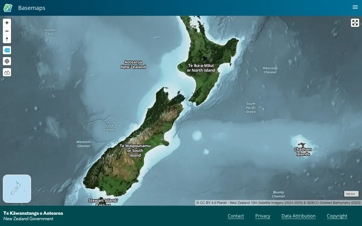

LINZ Basemaps
Official New Zealand basemap viewer from Land Information New Zealand, which hosts high-resolution aerial imagery and vector tiles. Tiles are served through XYZ, WMTS, and StyleJSON APIs, with data under CC BY 4.0.
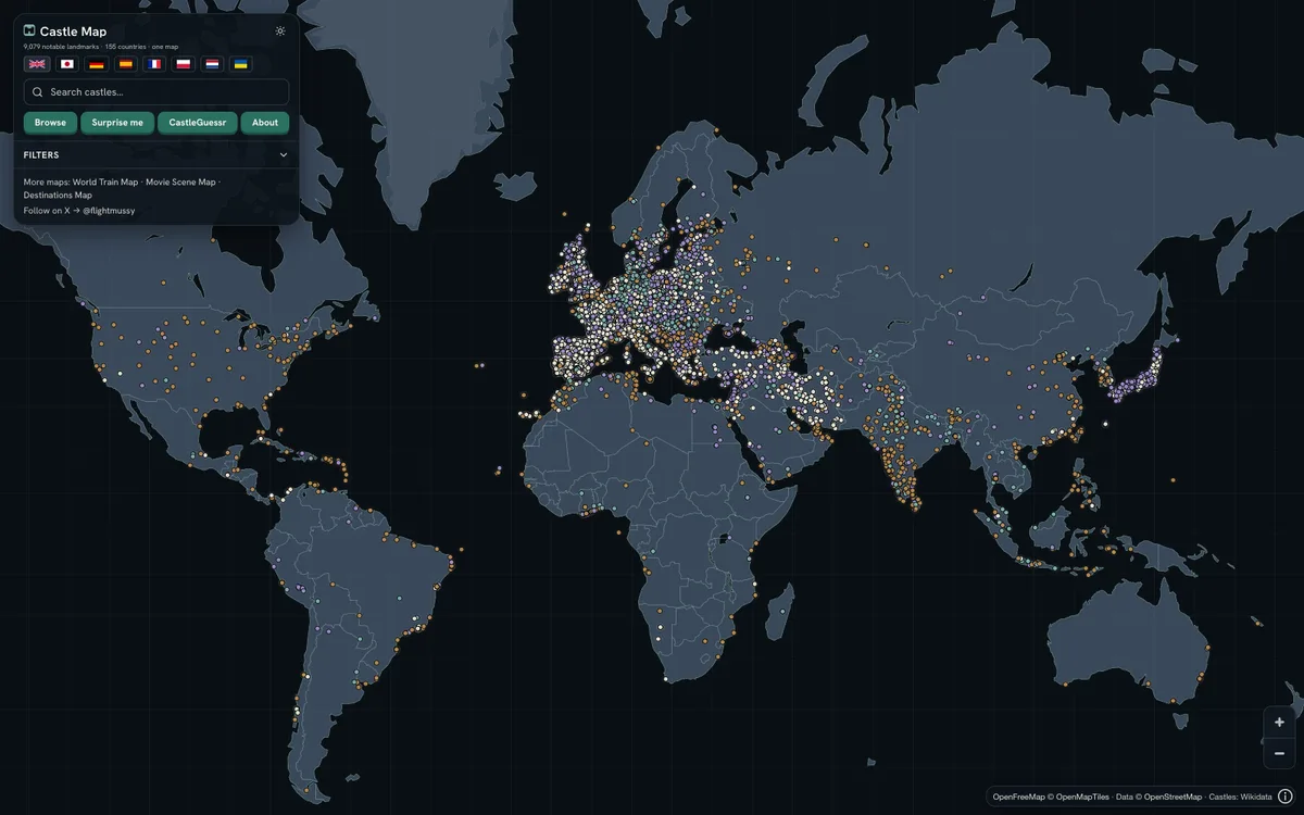

Castlemap
Free interactive map of 9,079 castles, fortresses, palaces and ruins across 155 countries, built from Wikidata, Wikimedia Commons and Wikipedia, with downloadable CC0 data.
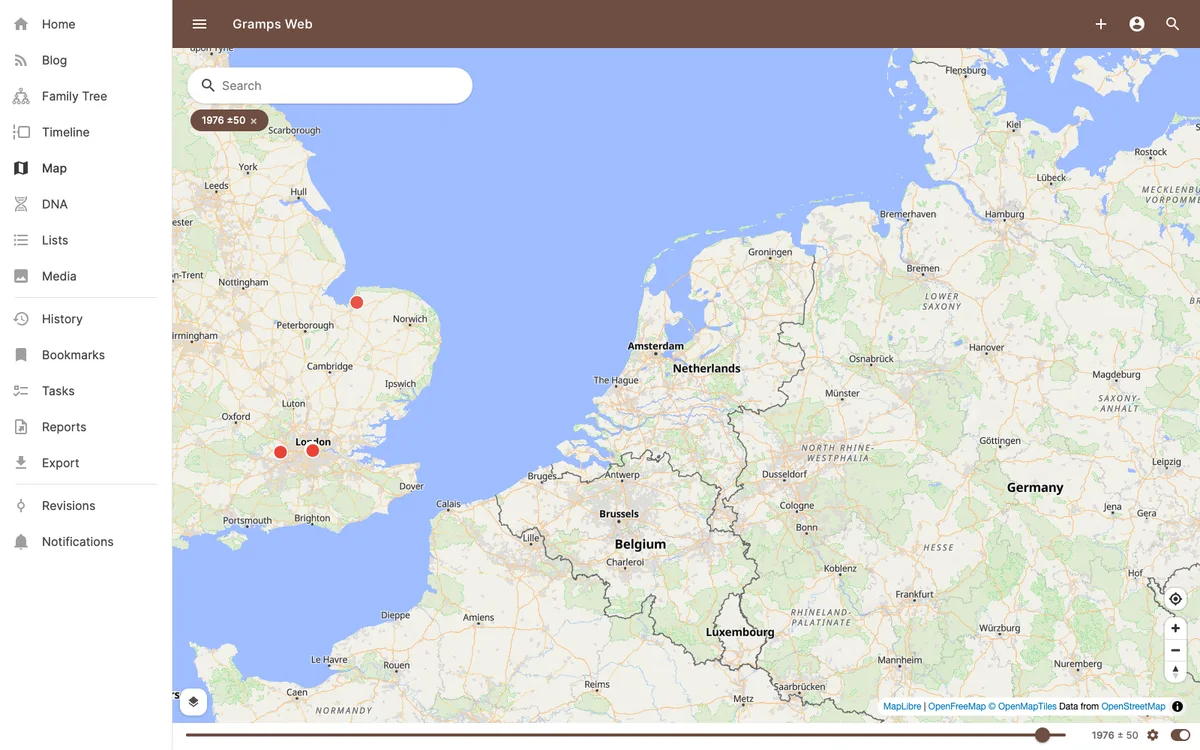

Gramps Web
Open-source web application for collaborative genealogy and family history research, with interactive maps of places linked to records and family events.