


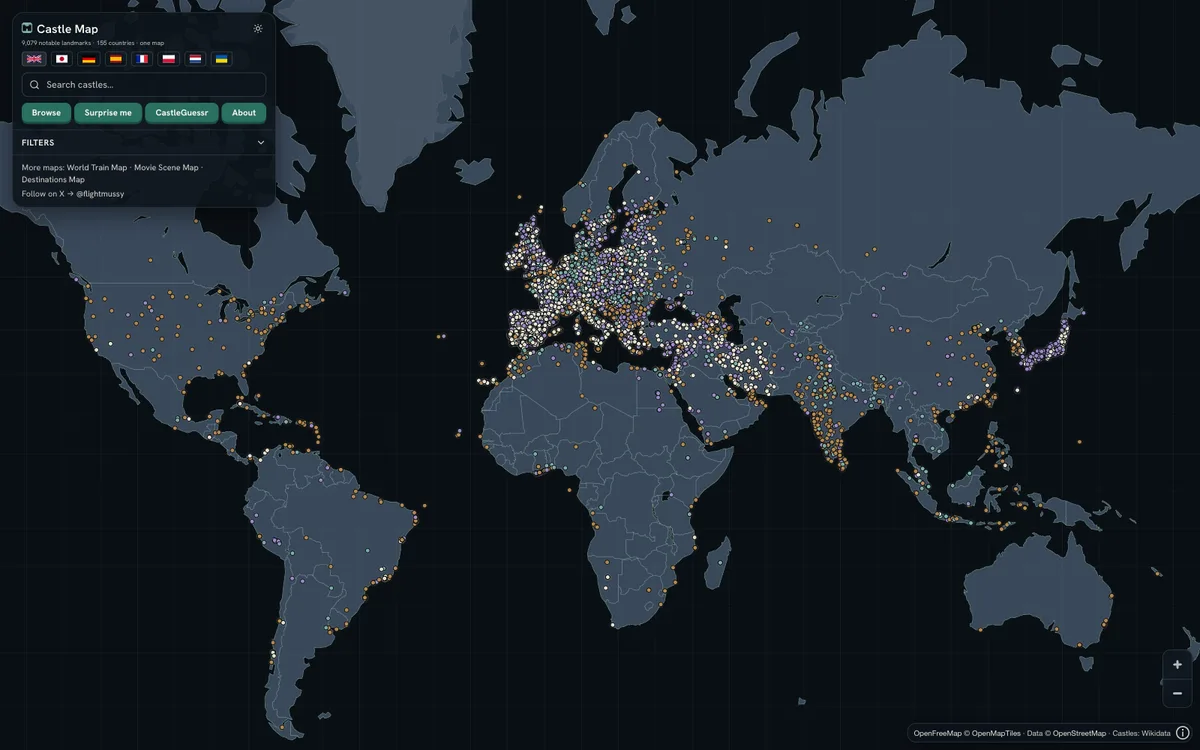
Free interactive map of 9,079 castles, fortresses, palaces and ruins across 155 countries, built from Wikidata, Wikimedia Commons and Wikipedia. It renders a custom day and night style on OpenFreeMap vector tiles with MapLibre GL JS, with Terrarium hillshading.
More travel products
All travel →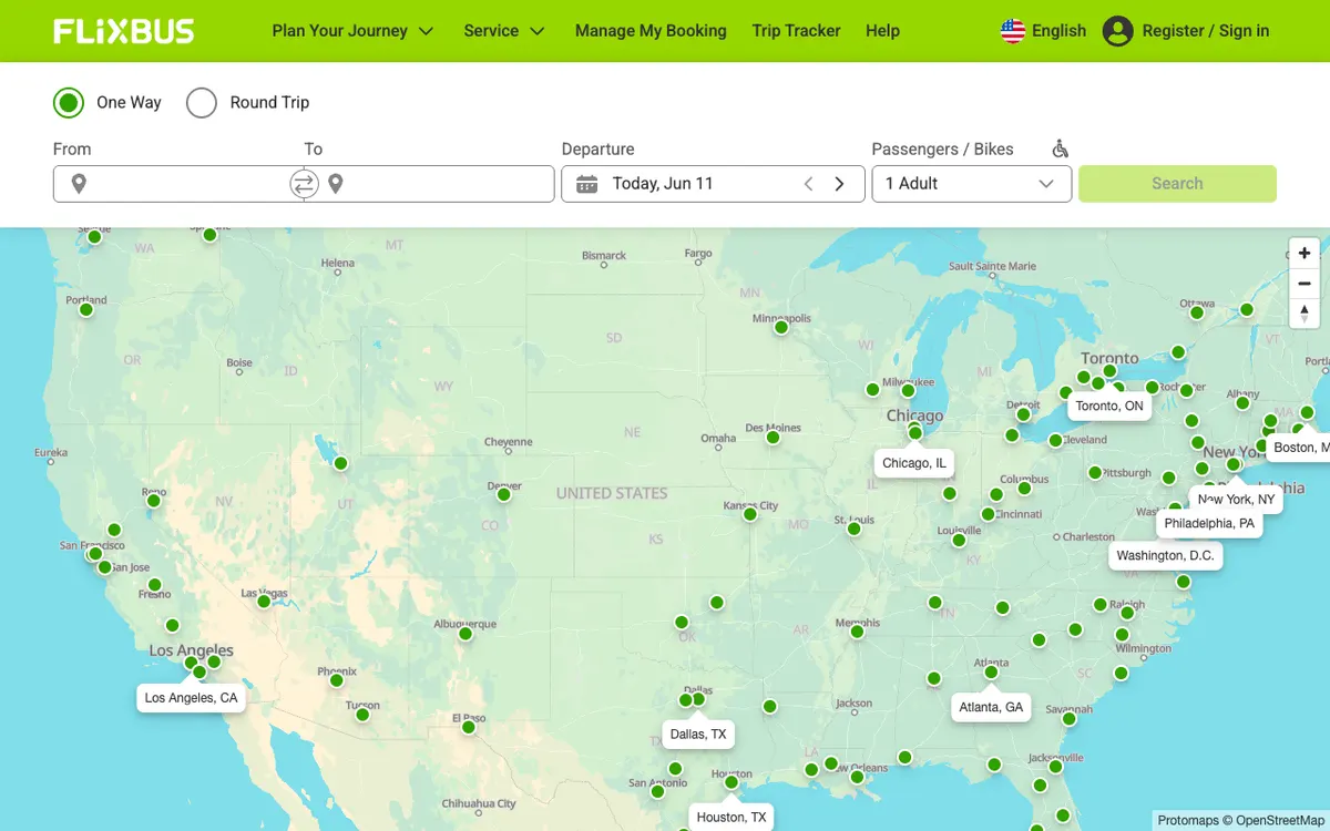

FlixBus
FlixBus uses MapLibre GL JS to display its extensive bus route network and connections across Europe and beyond.
GL JS · Web
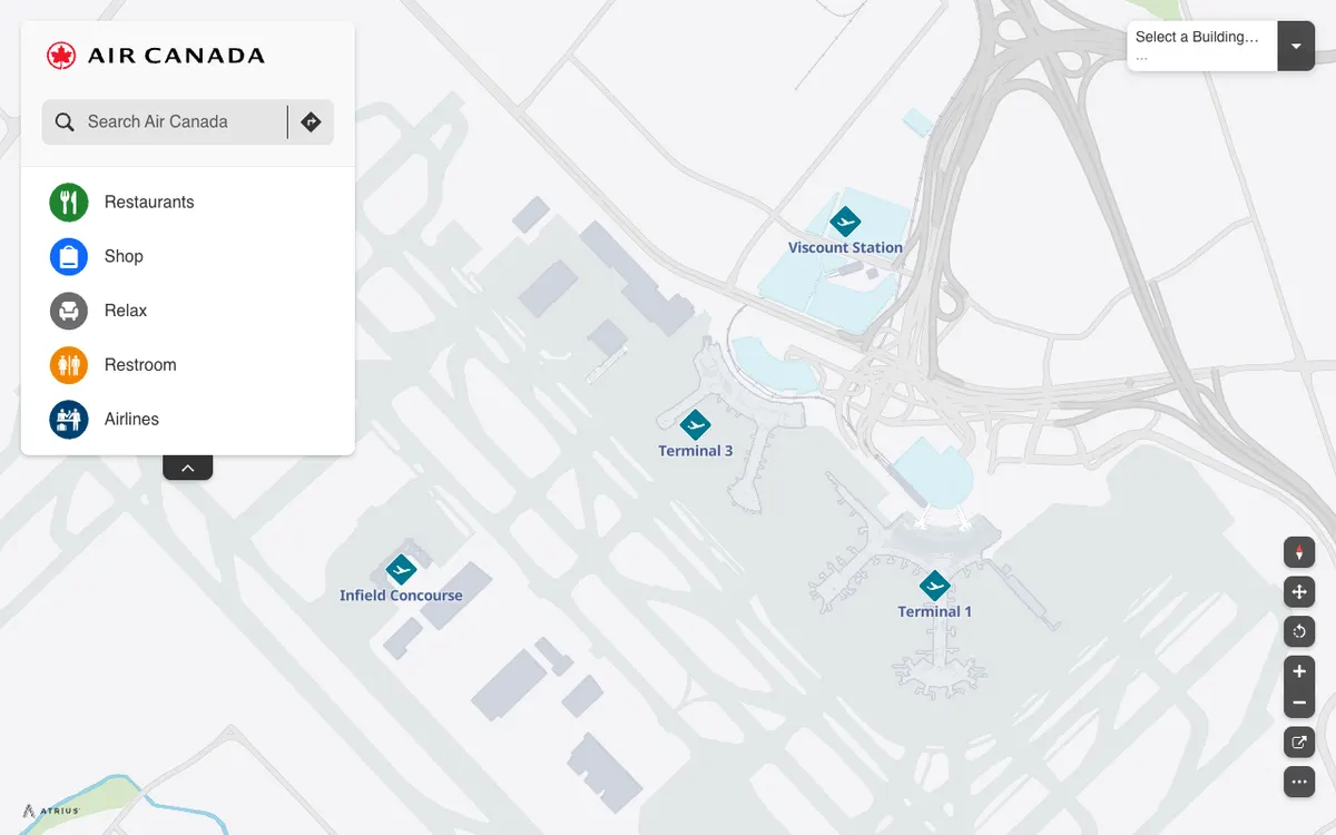

Air Canada Airport Maps
Air Canada's interactive airport maps, built on the Atrius (formerly LocusLabs) wayfinding platform, show terminals, restaurants, shops, and restrooms at Toronto Pearson on a MapLibre GL JS map.
GL JS · Web
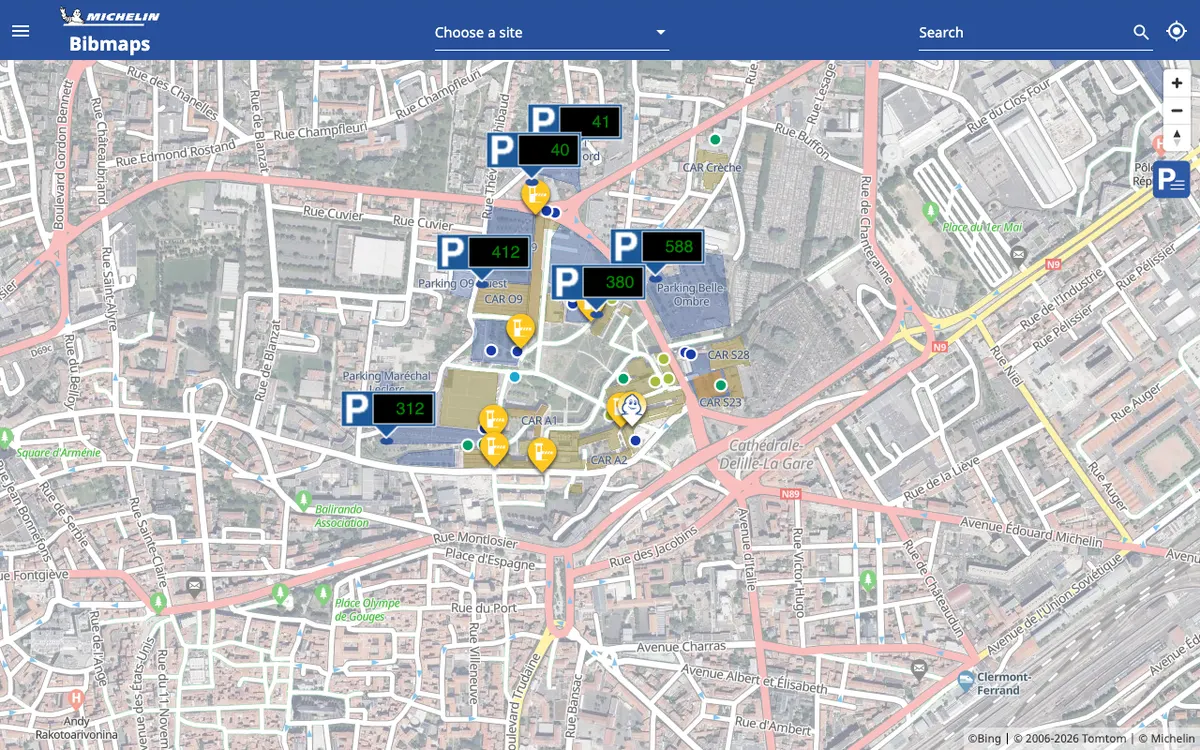

BibMaps
Michelin's interactive map of Bib Gourmand restaurants.
GL JS · Web