Type to search the site.
Nonprofit mapping organization supporting humanitarian response worldwide.
1 product in the directory
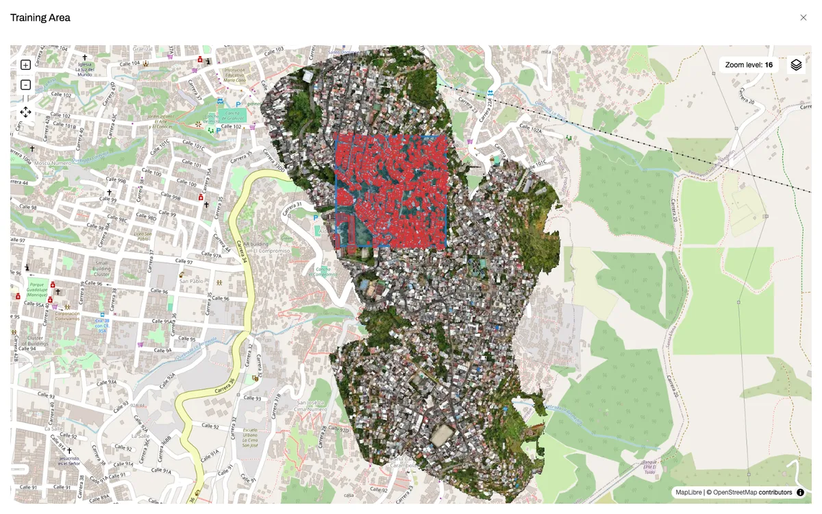
Open-source AI-assisted mapping tool by the Humanitarian OpenStreetMap Team for training AI models that detect buildings, roads, and trees in imagery, to help humanitarian mappers.
Suggest an edit or report a problem.