Type to search the site.
New Zealand government agency for land and geospatial data.
1 product in the directory
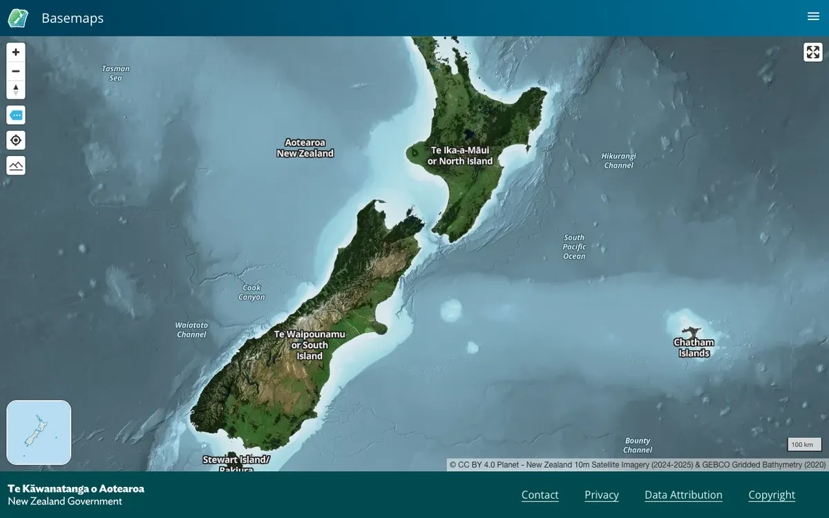
Official New Zealand basemap viewer from Land Information New Zealand, which hosts high-resolution aerial imagery and vector tiles. Tiles are served through XYZ, WMTS, and StyleJSON APIs, with data under CC BY 4.0.
Suggest an edit or report a problem.