


Maptoolkit
Maps platform by Toursprung offering vector map styles, routing and map APIs, and a Maps SDK built on MapLibre GL JS.
1 tool · 7 basemaps · 2 hosted services in the directory
Tools for the ecosystem
Libraries and tools Maptoolkit maintains for making maps with MapLibre.
Basemaps
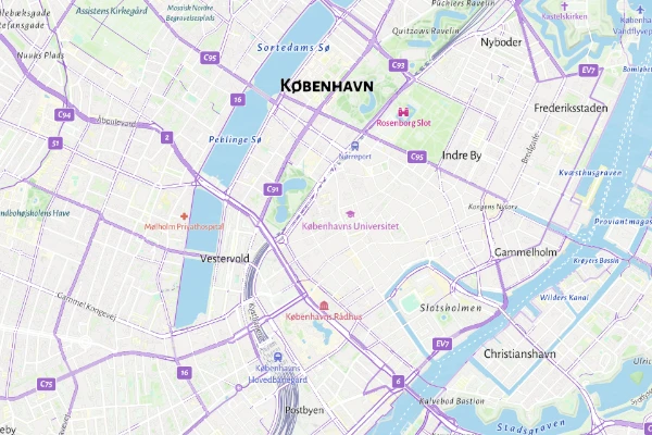
Cycling
MaptoolkitAn outdoor map that brings cycle routes and bike infrastructure forward, with hillshading and contour lines. Free with no API key; Maptoolkit's terms require its logo and credit on the map.
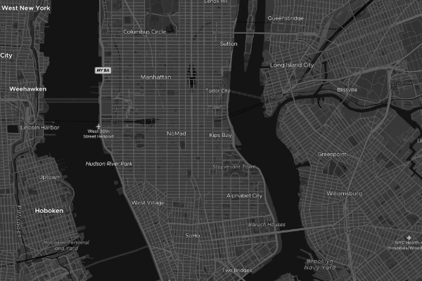
Dark
MaptoolkitA dark map with subtle hillshading, for data overlays and night modes. Free with no API key; Maptoolkit's terms require its logo and credit on the map.
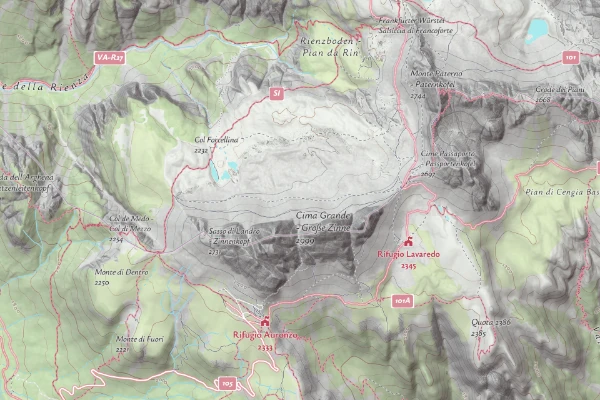
Hiking
MaptoolkitAn outdoor map that brings hiking trails forward, with hillshading and contour lines. Free with no API key; Maptoolkit's terms require its logo and credit on the map.
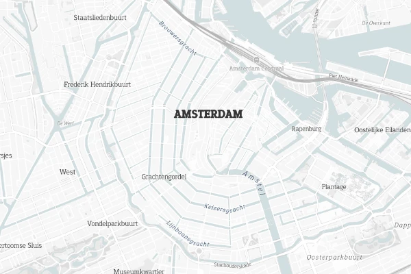
Light
MaptoolkitA light, low-contrast map with subtle hillshading, made for data overlays. Free with no API key; Maptoolkit's terms require its logo and credit on the map.
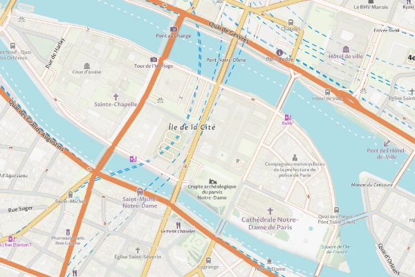
Street
MaptoolkitA general-purpose street map with subtle hillshading. Free with no API key; Maptoolkit's terms require its logo and credit on the map.
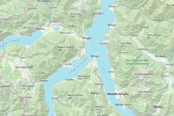
Summer
MaptoolkitMaptoolkit's outdoor map for the warm season: hillshading, contour lines, and hiking paths over a detailed topographic base. Free with no API key; Maptoolkit's terms require its logo and credit on the map.
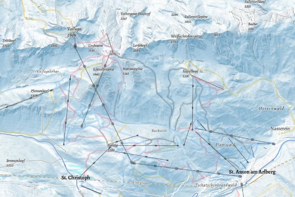
Winter
MaptoolkitA winter outdoor map with hillshading, contour lines, ski runs, and lifts. Free with no API key; Maptoolkit's terms require its logo and credit on the map.