


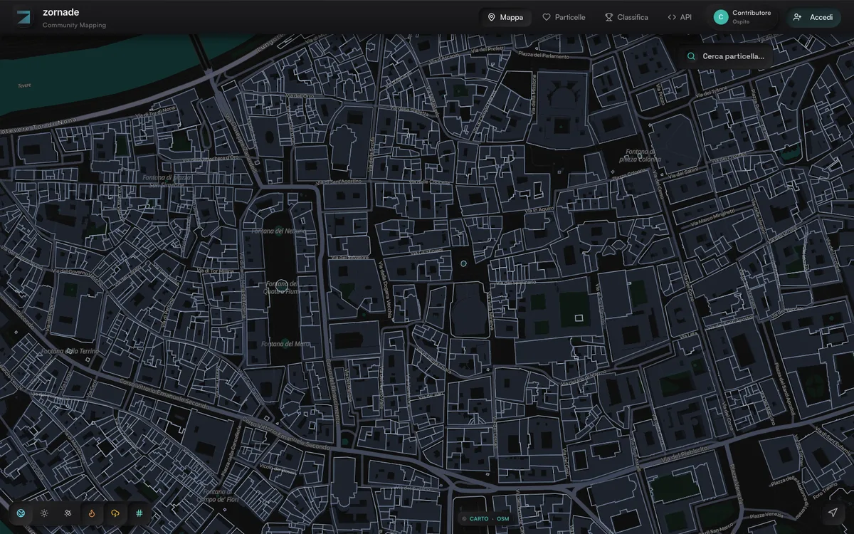
Free platform that merges 15+ official Italian sources (cadastre, ISPRA hydrogeological risk, OMI property prices, ISTAT demographics) into one profile for each of Italy's 85 million cadastral parcels.
How Zornade uses MapLibre
Parcels, risk zones and fire hotspots are drawn on a MapLibre GL JS map over a CARTO basemap.
What Zornade offers you
- REST API for Italian cadastral parcels and geocoding
- Find parcels by point, bounding box or cadastral sheet
- Parcel profiles with risk, valuation and demographic data blocks
- OpenAPI 3.1 spec and scoped personal API tokens
- MCP server for AI agents, MIT-licensed on GitHub
From zornade.com, github.com
More real estate products
All real estate →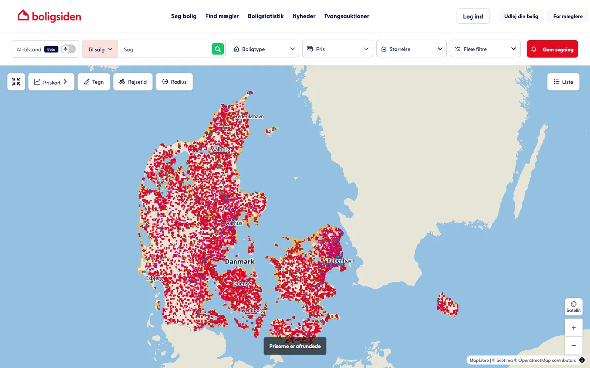

Boligsiden.dk
Danish real-estate marketplace for property listings, with interactive maps of property boundaries and neighbourhood data.
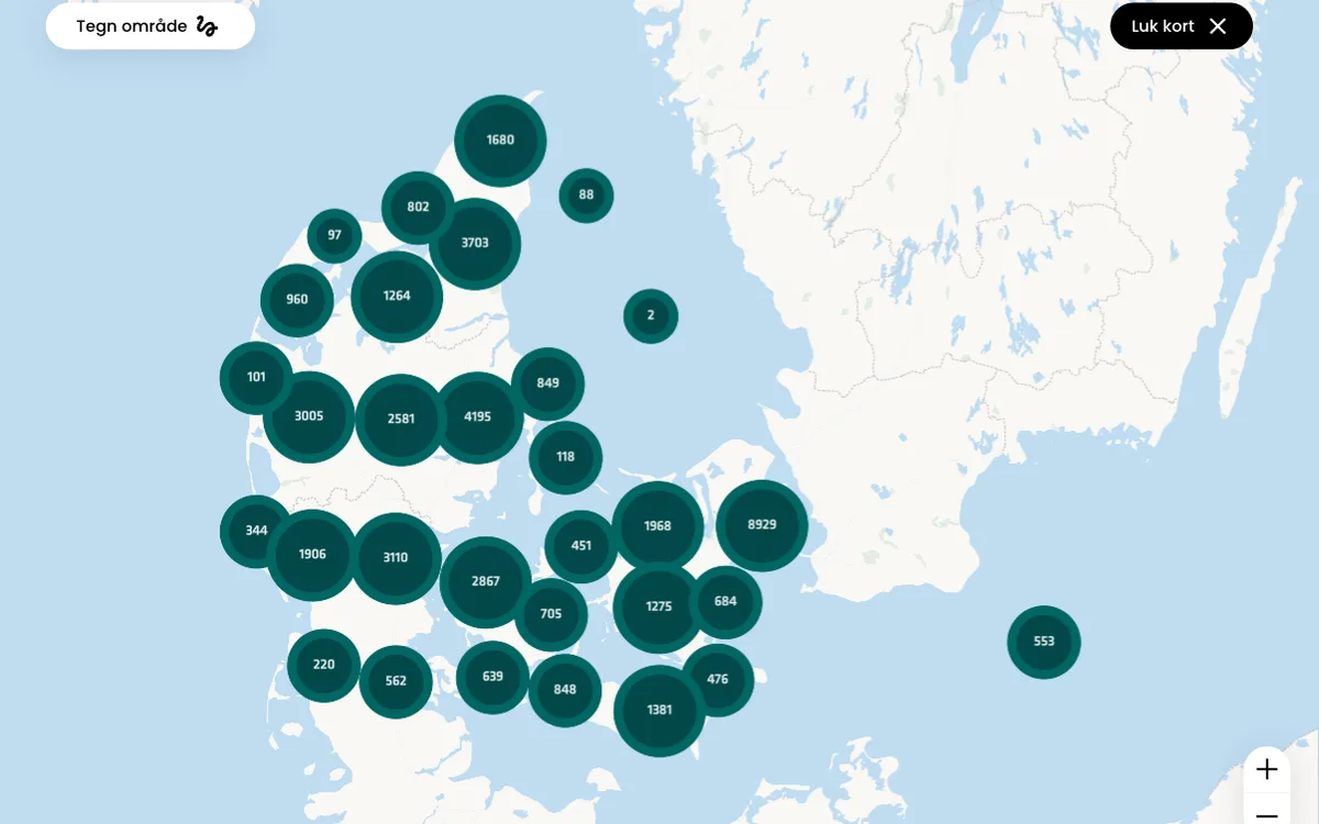

Danbolig.dk
Nationwide estate agents in Denmark, with property search pages and a neighbourhood explorer.
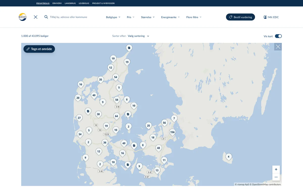

EDC.dk
Real-estate listings from EDC, Denmark's largest estate agency, with maps showing property boundaries, neighbourhood stats and travel times.