

M
Martin is a tile server able to generate and serve vector tiles on the fly from PostGIS databases, MBTiles, and PMTiles archives.
Used by 3 products
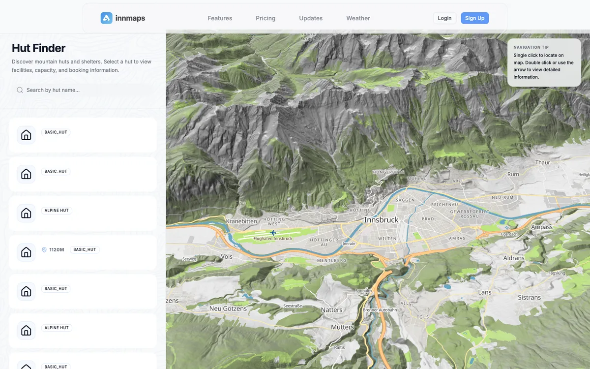

innmaps
3D outdoor map for planning alpine tours, built in Innsbruck, with a hut finder, weather stations, and terrain.
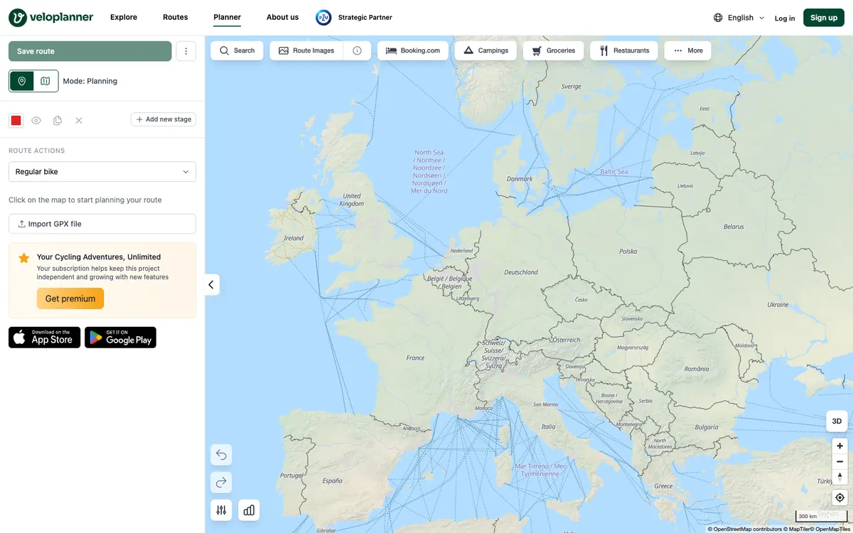

VeloPlanner
Site and apps for discovering, planning, and sharing cycling routes, with detailed guides to official cycling routes, a route planner, GPX downloads, and embeddable route map widgets.

Watch Duty
Nonprofit app with real-time wildfire alerts, whose wildfire and flood data is also available for your own dashboards and GIS tools.