


Nonprofit app with real-time wildfire alerts, whose wildfire and flood data is also available for your own dashboards and GIS tools.
How Watch Duty uses MapLibre
Watch Duty's mobile apps rely on MapLibre Native for offline-capable fire-perimeter maps.
What Watch Duty offers you
- Prescribed fire map layer published publicly on ArcGIS Online
- Wildfire and flood data for your own dashboards and GIS tools
- Supports ArcGIS Online and ArcGIS Enterprise feature services
From watchduty.org
More weather & hazards products
All weather & hazards →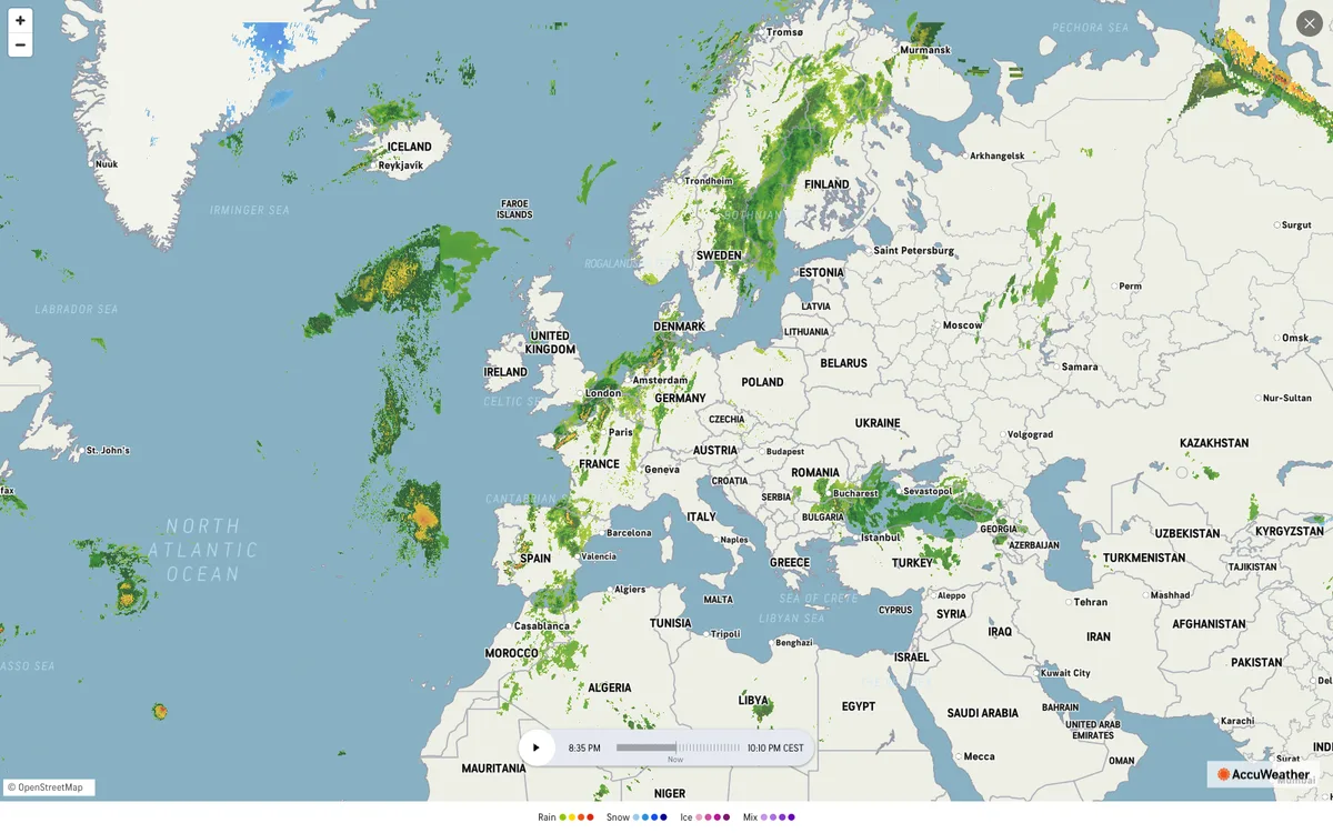

AccuWeather
Global weather forecasting service with radar maps, plus a weather API for forecasts, current conditions, severe weather alerts, minute-by-minute precipitation, lightning, and tropical cyclone data.
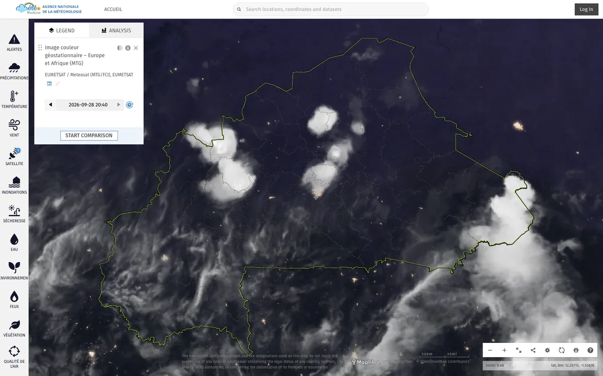

ClimWeb
WMO-supported open-source CMS that runs the websites of national meteorological and hydrological services across Africa, used in 42 countries.
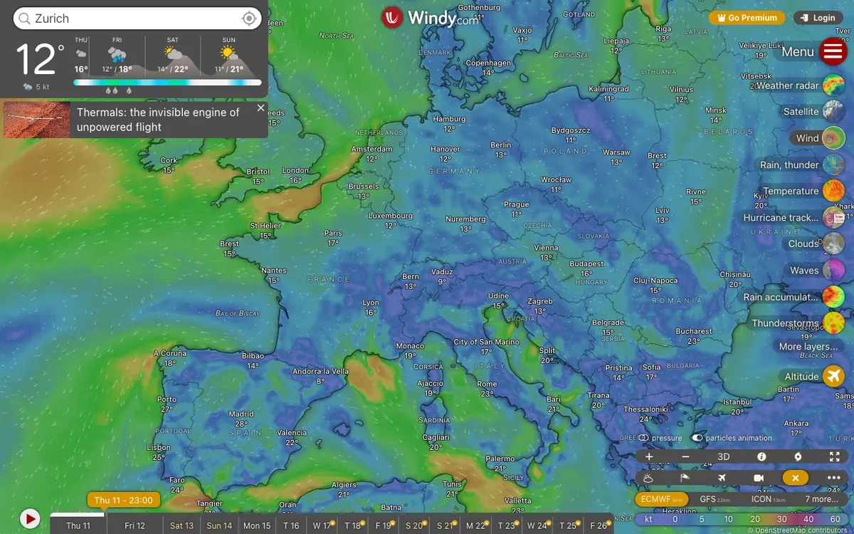

Windy.com
Global weather service with high-resolution forecast layers and radar imagery, plus embeddable weather maps and APIs for point forecasts, map forecasts, and webcams.