


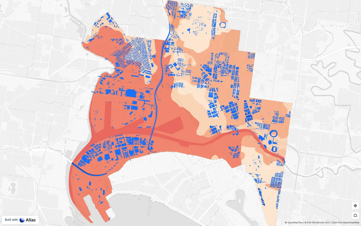
Browser-based, no-code GIS where teams import geospatial data, run spatial analyses, and build dashboards and public map apps shared by link.
How Atlas.co uses MapLibre
Its 3D web map editor is built on MapLibre GL JS.
What Atlas.co offers you
- Import shapefiles, GeoJSON, GeoPackage, KML, GeoTIFF, and other GIS formats
- Connect PostgreSQL (PostGIS), BigQuery, Snowflake, Google Sheets, and WMS or WFS services
- No-code builder for dashboards and public map apps shared by link
- Spatial analysis and scheduled workflows built from prompts with an AI assistant
- Forms and a mobile field app for collecting location data
From atlas.co
More gis & analytics products
All gis & analytics →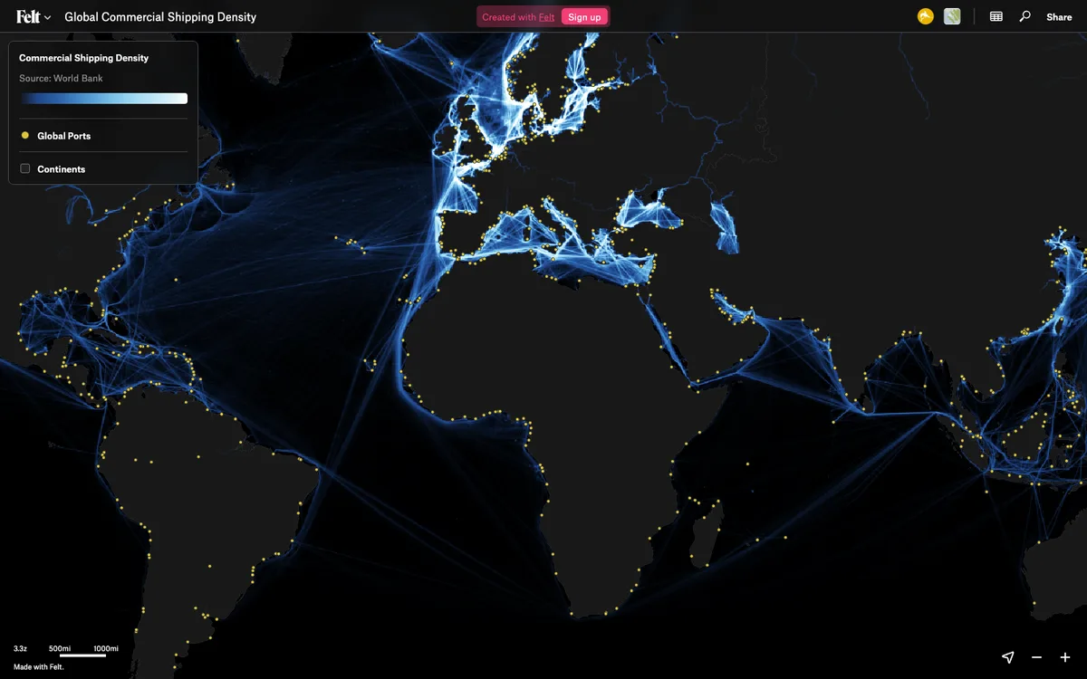

Felt
Cloud-native collaborative GIS for uploading geodata, running spatial analysis, building dashboards, and sharing or embedding maps, all in the browser.
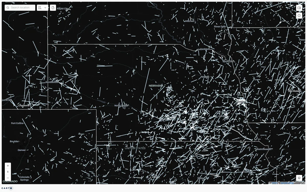

CARTO
Cloud-native location intelligence platform that connects to data warehouses like BigQuery, Snowflake, and Databricks, with Builder for making and sharing maps and drag-and-drop Workflows for spatial analysis.
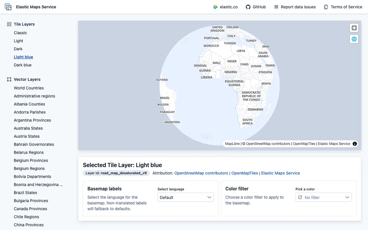

Elastic Maps
Geospatial analytics and visualization tool for interactive data exploration in Kibana, with maps built from Elasticsearch data using vector, heat map, and tile layers.