


EUDR Map Studio
Check and repair supplier plot files for the EUDR
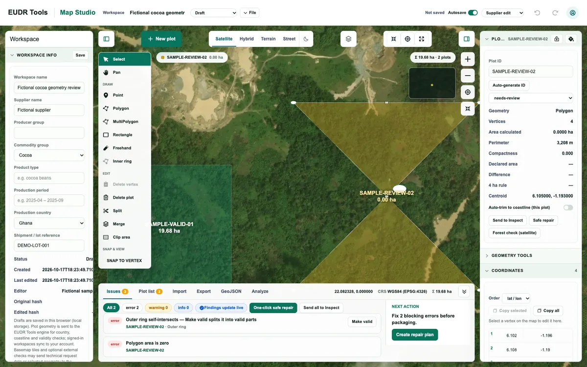
Free browser tool for drawing, checking and repairing the supplier plot boundaries that operators collect under the EU Deforestation Regulation, with live geometry, coordinate and country checks and GeoJSON export. It does not verify land-use history, certify compliance or file due diligence statements.
How EUDR Map Studio uses MapLibre
Map Studio shows the plots over Esri World Imagery in MapLibre GL JS, where they can be drawn, inspected and edited vertex by vertex, with snapping, split, merge and clip tools.
More gis & analytics products
All gis & analytics →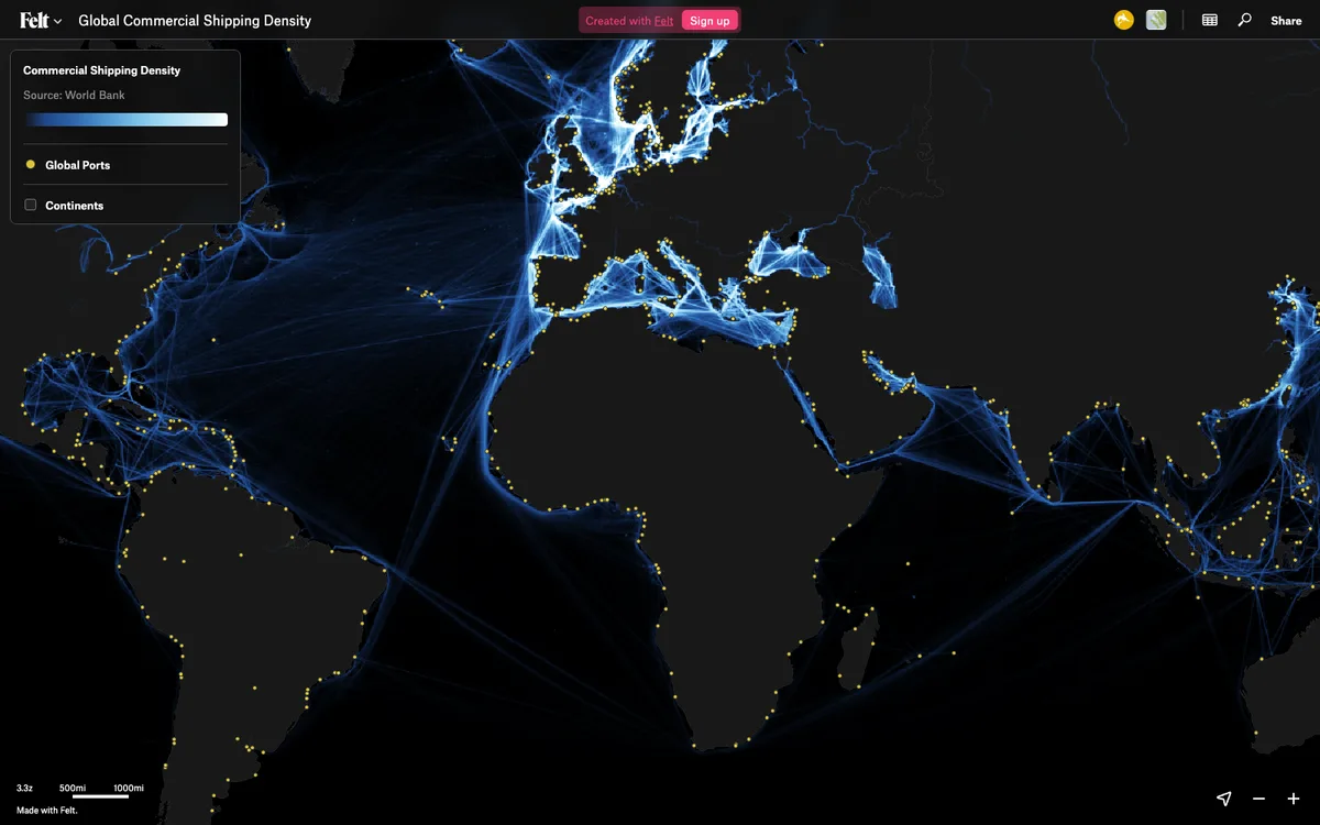

Felt
Cloud-native collaborative GIS for uploading geodata, running spatial analysis, building dashboards, and sharing or embedding maps, all in the browser.
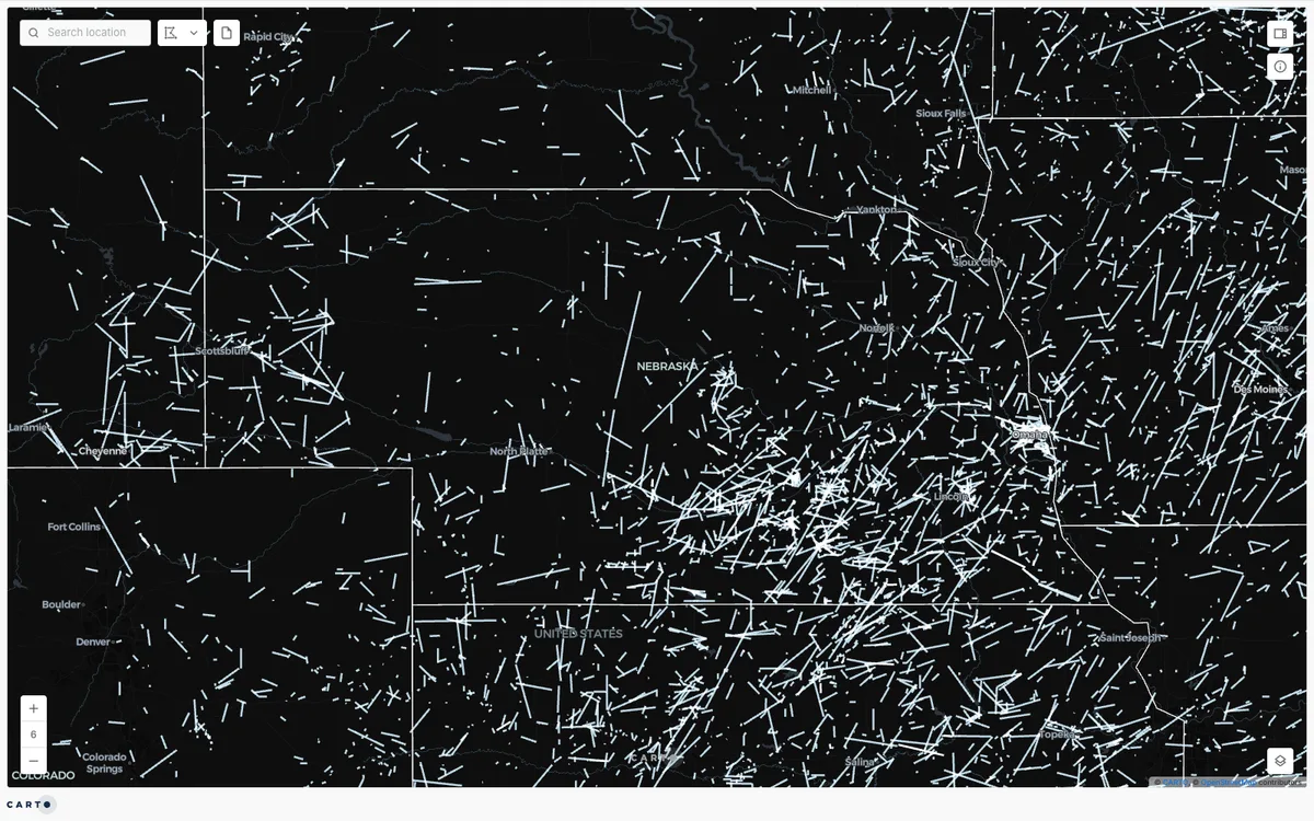

CARTO
Cloud-native location intelligence platform that connects to data warehouses like BigQuery, Snowflake, and Databricks, with Builder for making and sharing maps and drag-and-drop Workflows for spatial analysis.
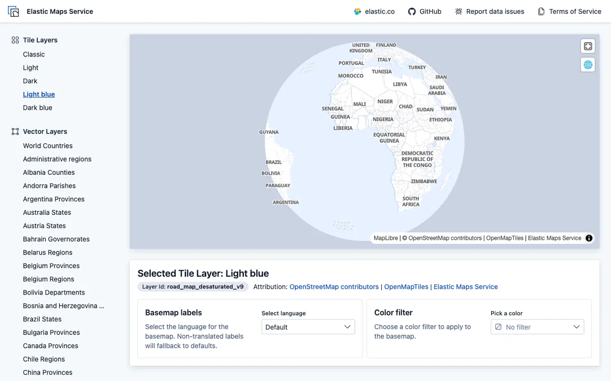

Elastic Maps
Geospatial analytics and visualization tool for interactive data exploration in Kibana, with maps built from Elasticsearch data using vector, heat map, and tile layers.