


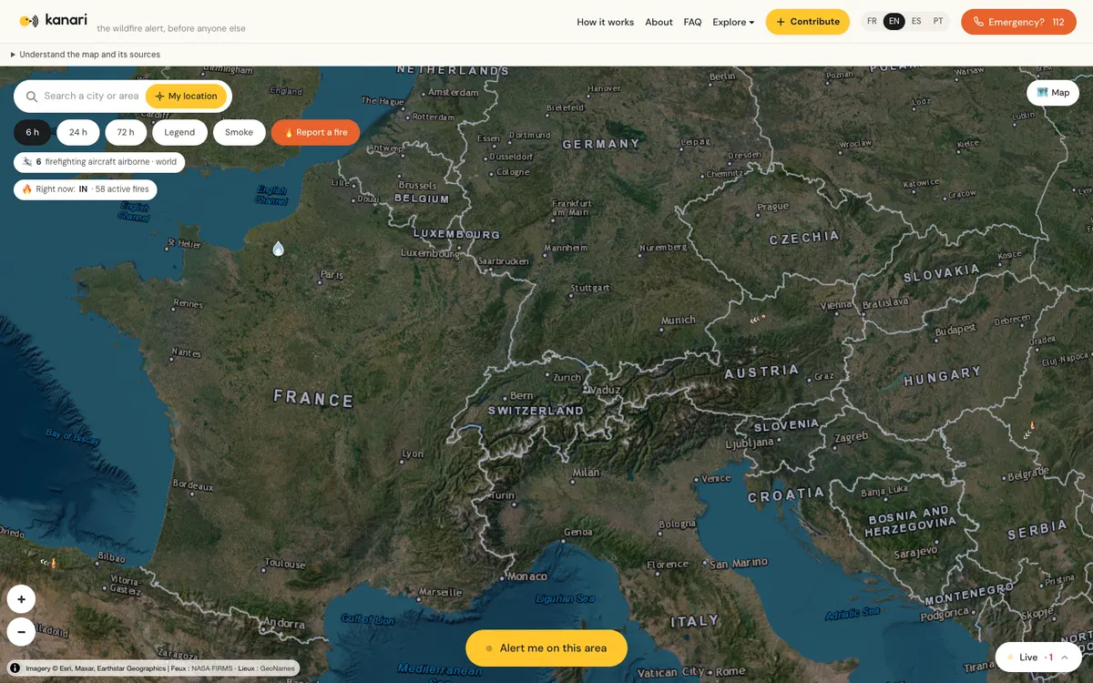
Free near-real-time world map of wildfire ignitions that clusters NASA FIRMS, GOES, and Meteosat satellite hotspots into fire events, with AI-verified witness reports, live firefighting aircraft, and a public JSON API.
How kanari uses MapLibre
Its world map, fire events, witness reports, and live firefighting aircraft are all rendered with MapLibre GL JS.
What kanari offers you
- Public JSON API for live fire clusters, no key or account
- Download the fire archive as CSV, licensed CC BY 4.0
- Embed the live wildfire map with an iframe
- MCP server for AI assistants to query fires and aircraft
- JavaScript client on npm (kanari-fires, MIT license)
From kanari.io
More weather & hazards products
All weather & hazards →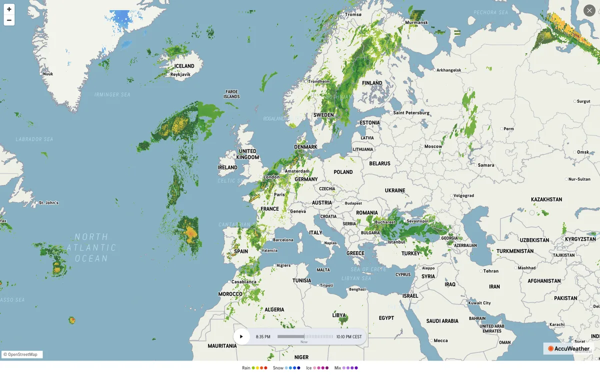

AccuWeather
Global weather forecasting service with radar maps, plus a weather API for forecasts, current conditions, severe weather alerts, minute-by-minute precipitation, lightning, and tropical cyclone data.

ClimWeb
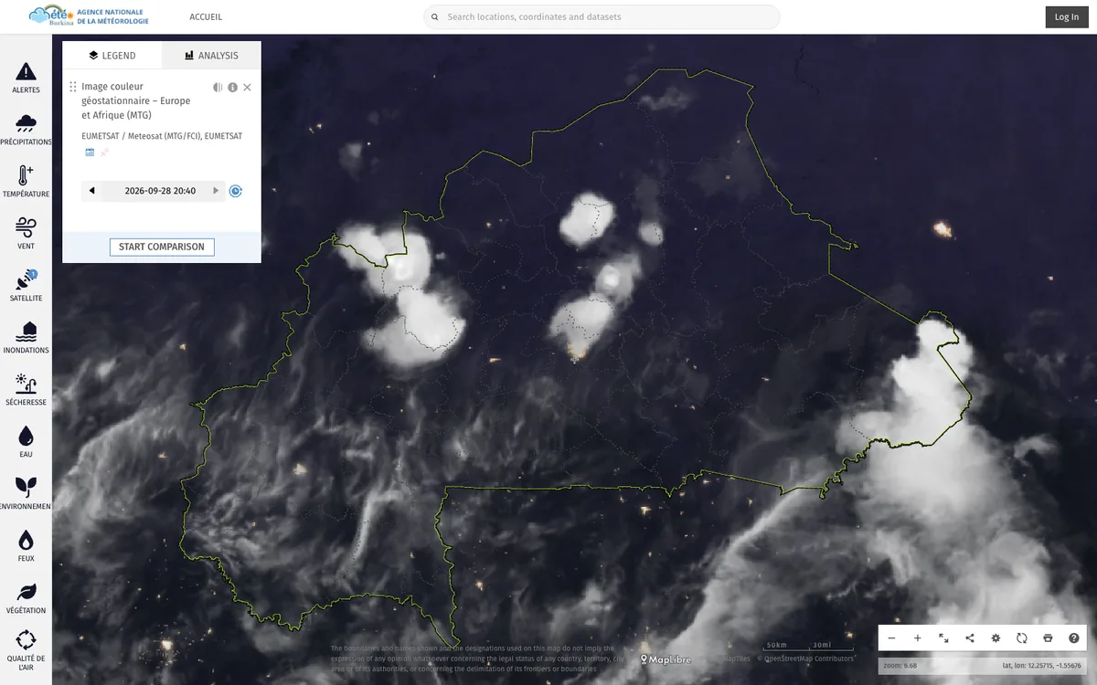
WMO-supported open-source CMS that runs the websites of national meteorological and hydrological services across Africa, used in 42 countries.

Windy.com
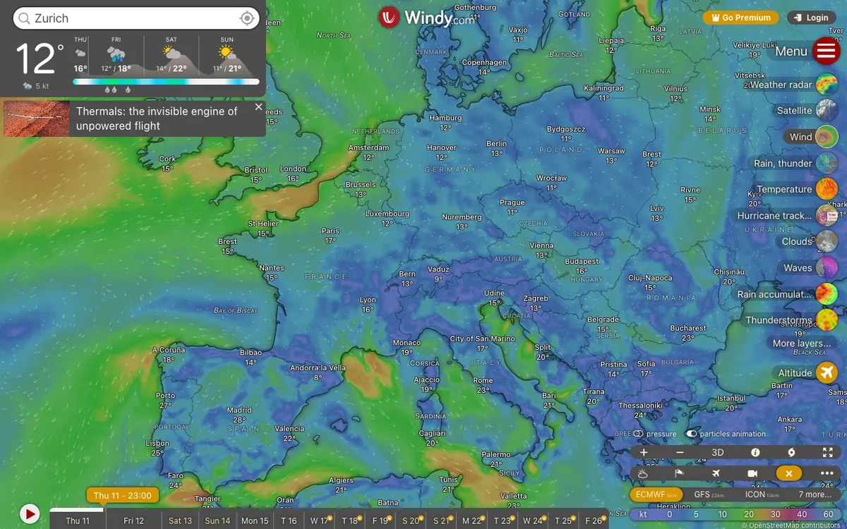
Global weather service with high-resolution forecast layers and radar imagery, plus embeddable weather maps and APIs for point forecasts, map forecasts, and webcams.