


Live Atlas
Live earthquakes, volcanoes and storms on a globe
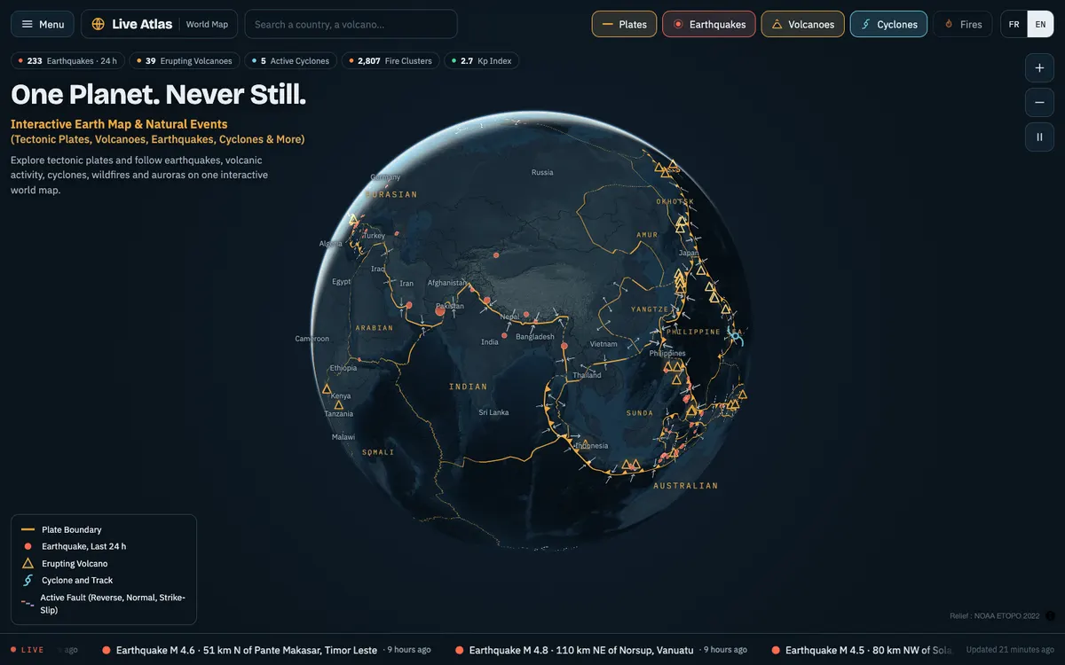
Interactive world map of natural events, with live earthquakes, erupting volcanoes, tropical cyclones, wildfires and aurora forecasts on a 3D globe, plus tectonic plates and pages for volcanoes, plates and countries, in English and French. Its data comes from open sources such as USGS, NOAA, NASA and the Smithsonian.
How Live Atlas uses MapLibre
The whole map runs on MapLibre GL JS in its globe projection, with relief tiles of its own, plate boundaries and live GeoJSON layers for each kind of event.
More weather & hazards products
All weather & hazards →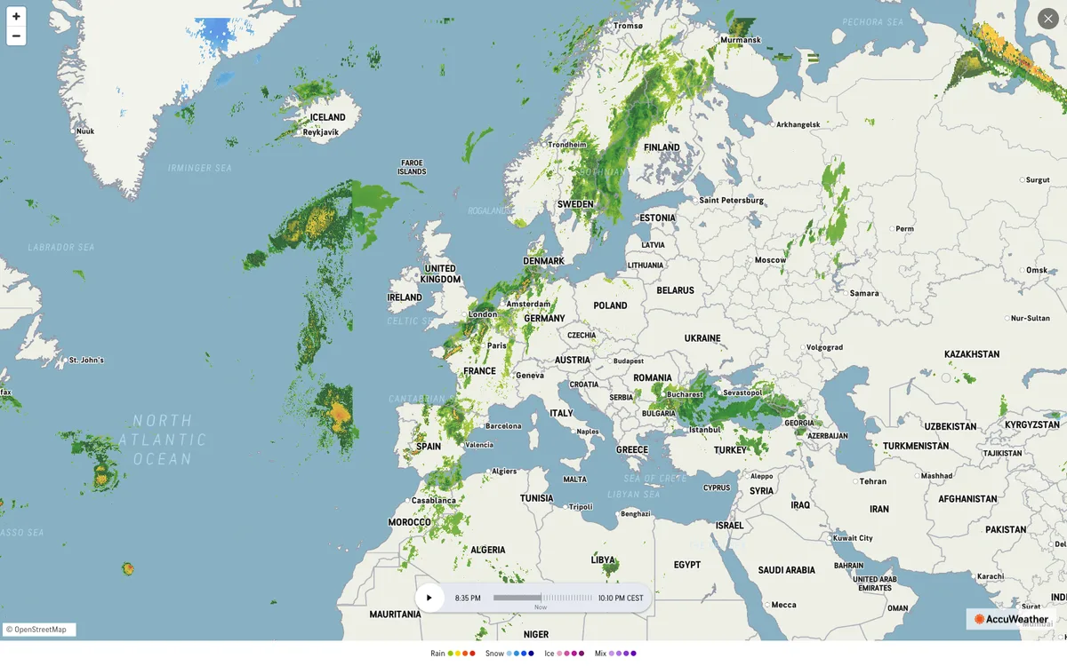

AccuWeather
Global weather forecasting service with radar maps, plus a weather API for forecasts, current conditions, severe weather alerts, minute-by-minute precipitation, lightning, and tropical cyclone data.
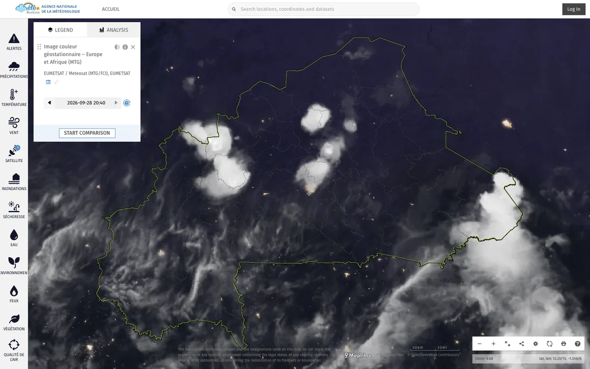

ClimWeb
WMO-supported open-source CMS that runs the websites of national meteorological and hydrological services across Africa, used in 42 countries.
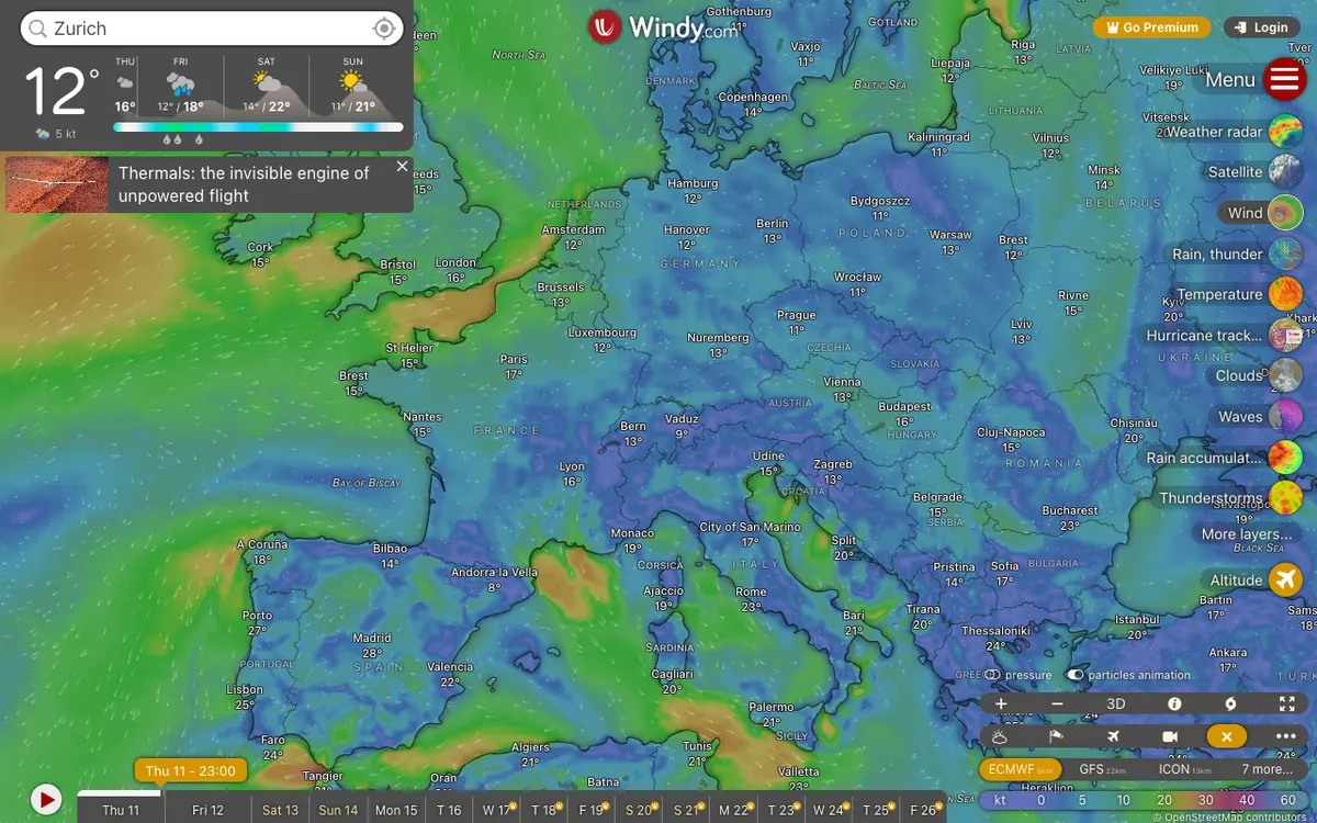

Windy.com
Global weather service with high-resolution forecast layers and radar imagery, plus embeddable weather maps and APIs for point forecasts, map forecasts, and webcams.