


Mapping add-on for visualising, analysing, and managing business and geospatial data inside Microsoft Dynamics 365, Power Apps, and Power Pages, with ArcGIS and OGC layers, route planning, and offline maps.
How Maptaskr Power Maps uses MapLibre
Maptaskr Power Maps renders its interactive map with MapLibre GL JS inside Dynamics 365, Power Apps, and Power Pages.
What Maptaskr Power Maps offers you
- Map control for Dynamics 365, Power Apps, and Power Pages
- Show ArcGIS layers and OGC services (WMS, WMTS, WFS)
- Draw or upload shapes, lines, and points, stored in Dataverse
- Route planning with distance and travel time calculations
- Offline maps for field teams with automatic sync
More gis & analytics products
All gis & analytics →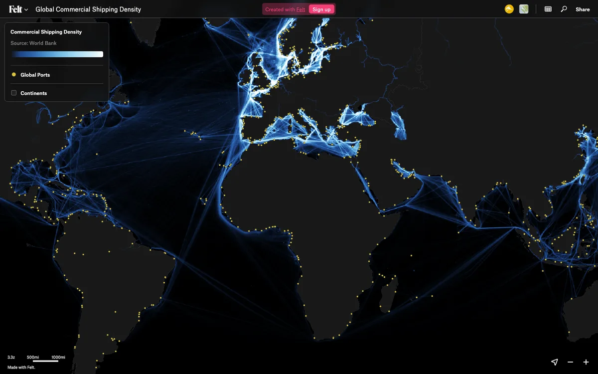

Felt
Cloud-native collaborative GIS for uploading geodata, running spatial analysis, building dashboards, and sharing or embedding maps, all in the browser.
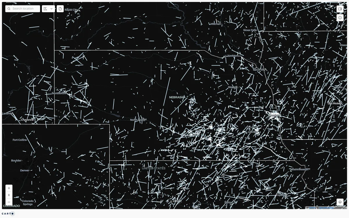

CARTO
Cloud-native location intelligence platform that connects to data warehouses like BigQuery, Snowflake, and Databricks, with Builder for making and sharing maps and drag-and-drop Workflows for spatial analysis.
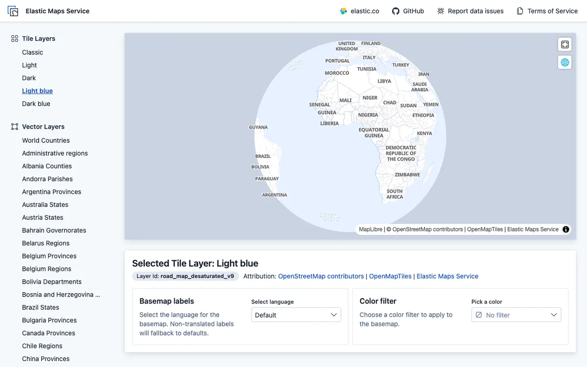

Elastic Maps
Geospatial analytics and visualization tool for interactive data exploration in Kibana, with maps built from Elasticsearch data using vector, heat map, and tile layers.