


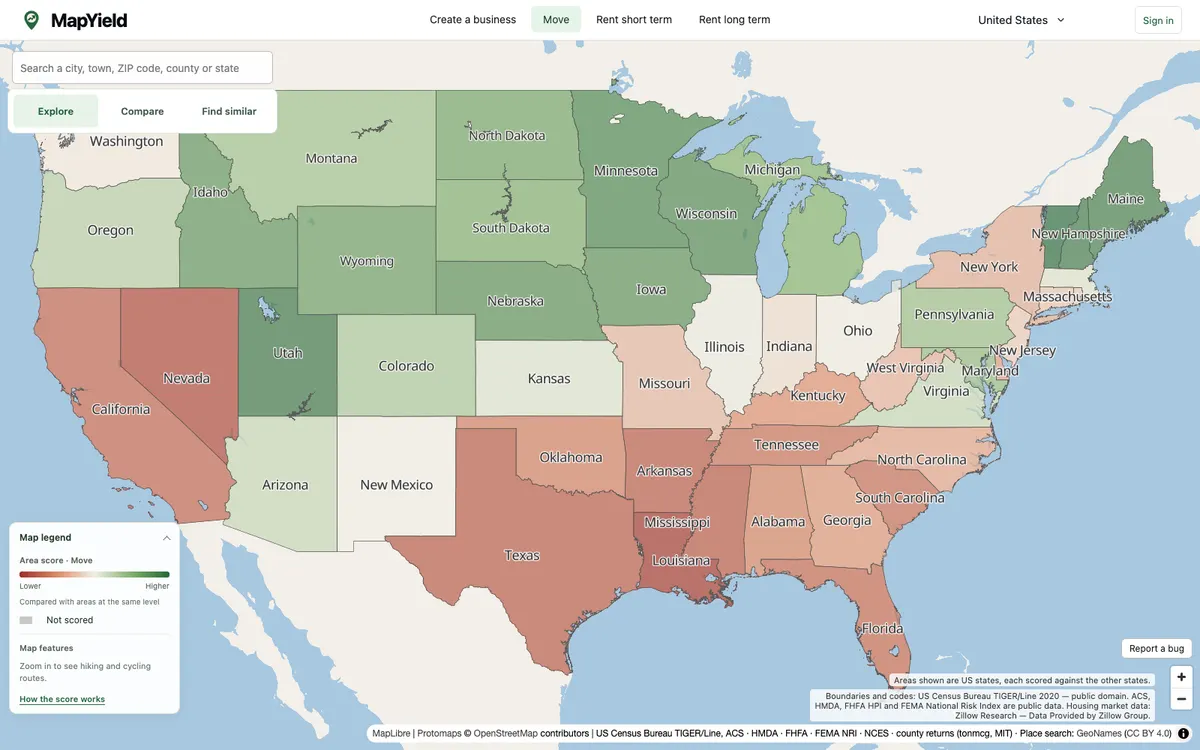
MapYield is an interactive map that scores every US state, county, census tract and block group from public data, reweighted for moving, starting a business, or renting. It renders with MapLibre GL JS from self-hosted PMTiles archives, including a Protomaps basemap.
More real estate products
All real estate →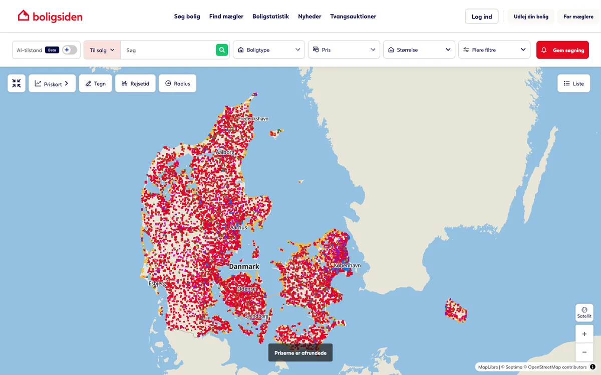

Boligsiden.dk
Boligsiden, the leading Danish real-estate marketplace, uses MapLibre GL JS to display property boundaries and neighbourhood data.
GL JS · Web
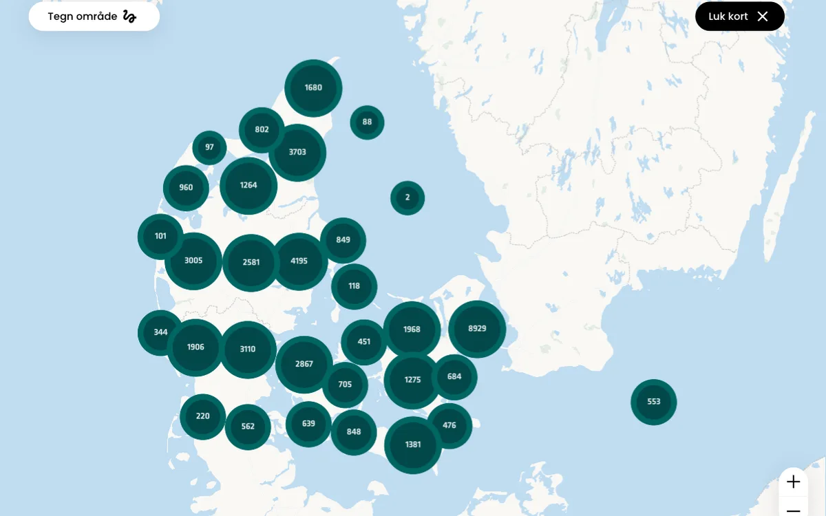

Danbolig.dk
danbolig's property search pages and neighbourhood explorer render vector tiles with MapLibre GL JS for a fast, modern map experience.
GL JS · Web
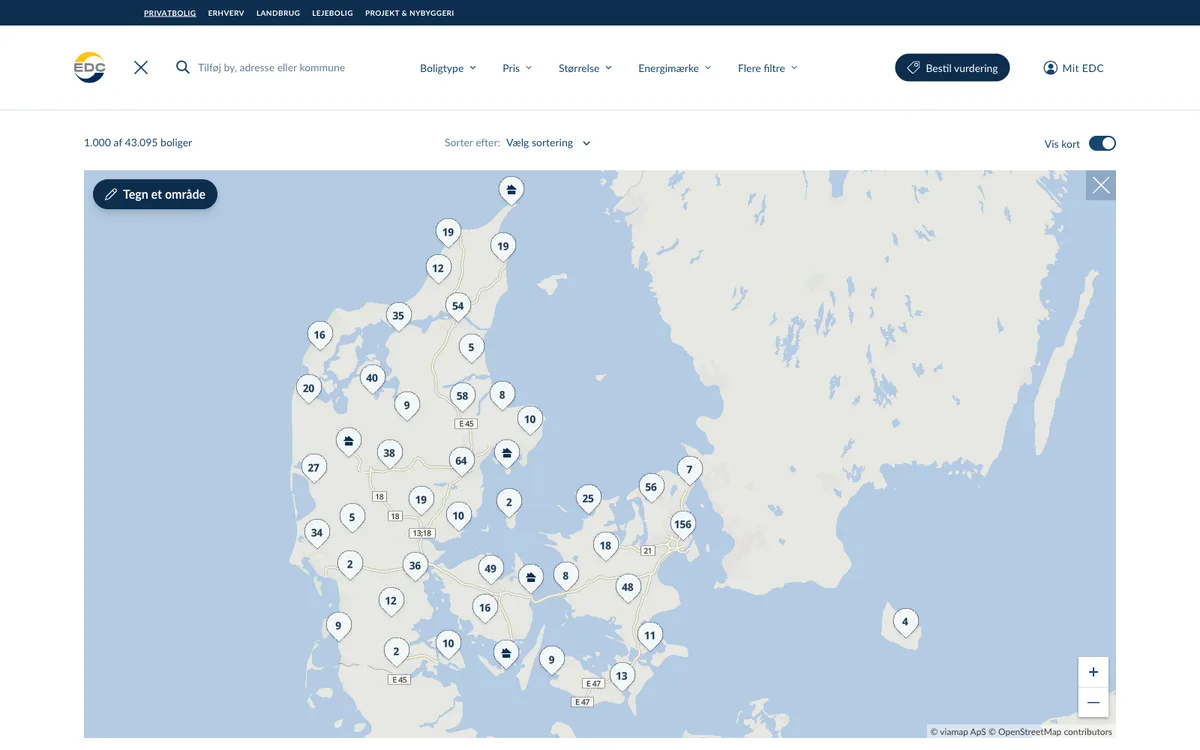

EDC.dk
EDC real-estate listings feature fast vector maps powered by MapLibre GL JS, showing property boundaries, neighbourhood stats and travel times.
GL JS · Web