


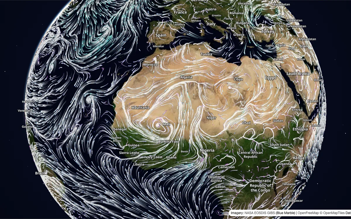
Tile API that serves gridded earth data (wind, ocean currents, air quality, temperature, elevation) as value-encoded tile pyramids, with weather and ocean layers refreshed every 6 hours.
How Mercator.blue uses MapLibre
Its homepage map decodes its value-encoded tiles in MapLibre GL JS over an OpenFreeMap basemap, and its open-source SDK adds the same layers to MapLibre maps.
What Mercator.blue offers you
- Value-encoded map tiles of wind, temperature, ocean currents, air quality, and elevation
- Weather and ocean layers refreshed every 6 hours
- Tile pyramids, global PNGs, and Cloud-Optimized GeoTIFFs in a STAC-style catalog
- Open-source SDK (Apache-2.0) for MapLibre, Mapbox, Leaflet, OpenLayers, and deck.gl
- Drop-in WebGL layers: color raster, animated streamlines, arrows, and contours
From mercator.blue, github.com
More weather & hazards products
All weather & hazards →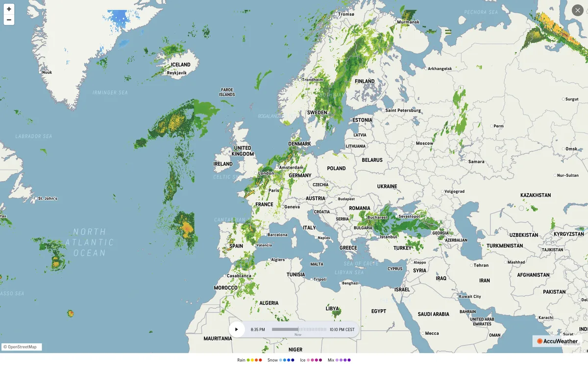

AccuWeather
Global weather forecasting service with radar maps, plus a weather API for forecasts, current conditions, severe weather alerts, minute-by-minute precipitation, lightning, and tropical cyclone data.
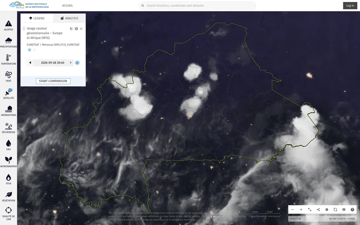

ClimWeb
WMO-supported open-source CMS that runs the websites of national meteorological and hydrological services across Africa, used in 42 countries.
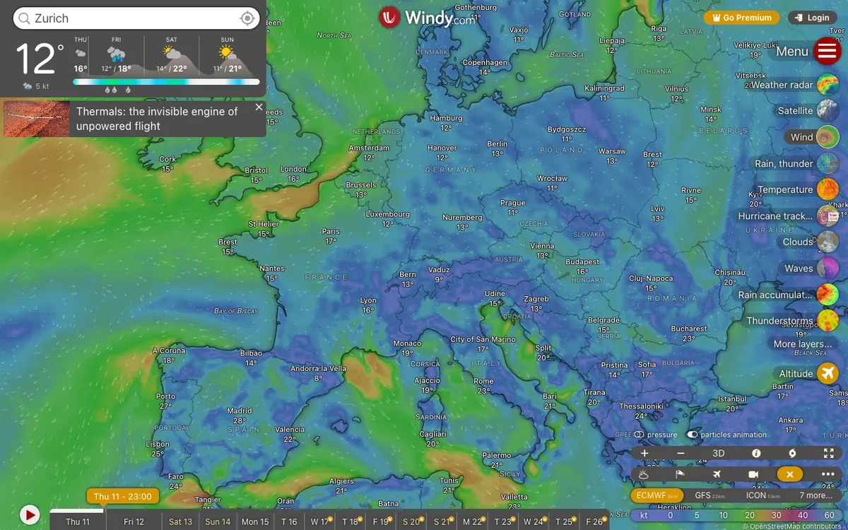

Windy.com
Global weather service with high-resolution forecast layers and radar imagery, plus embeddable weather maps and APIs for point forecasts, map forecasts, and webcams.