


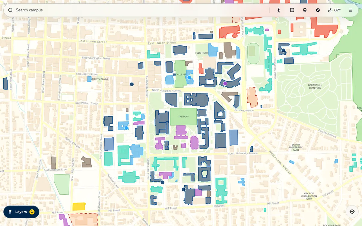
Interactive campus map PWA for the University of Michigan covering 354 buildings, with real-time GTFS-RT bus tracking, turn-by-turn walking directions, and support for 6 languages.
How MGuide uses MapLibre
The MGuide map is rendered with MapLibre GL JS.
More indoor mapping products
All indoor mapping →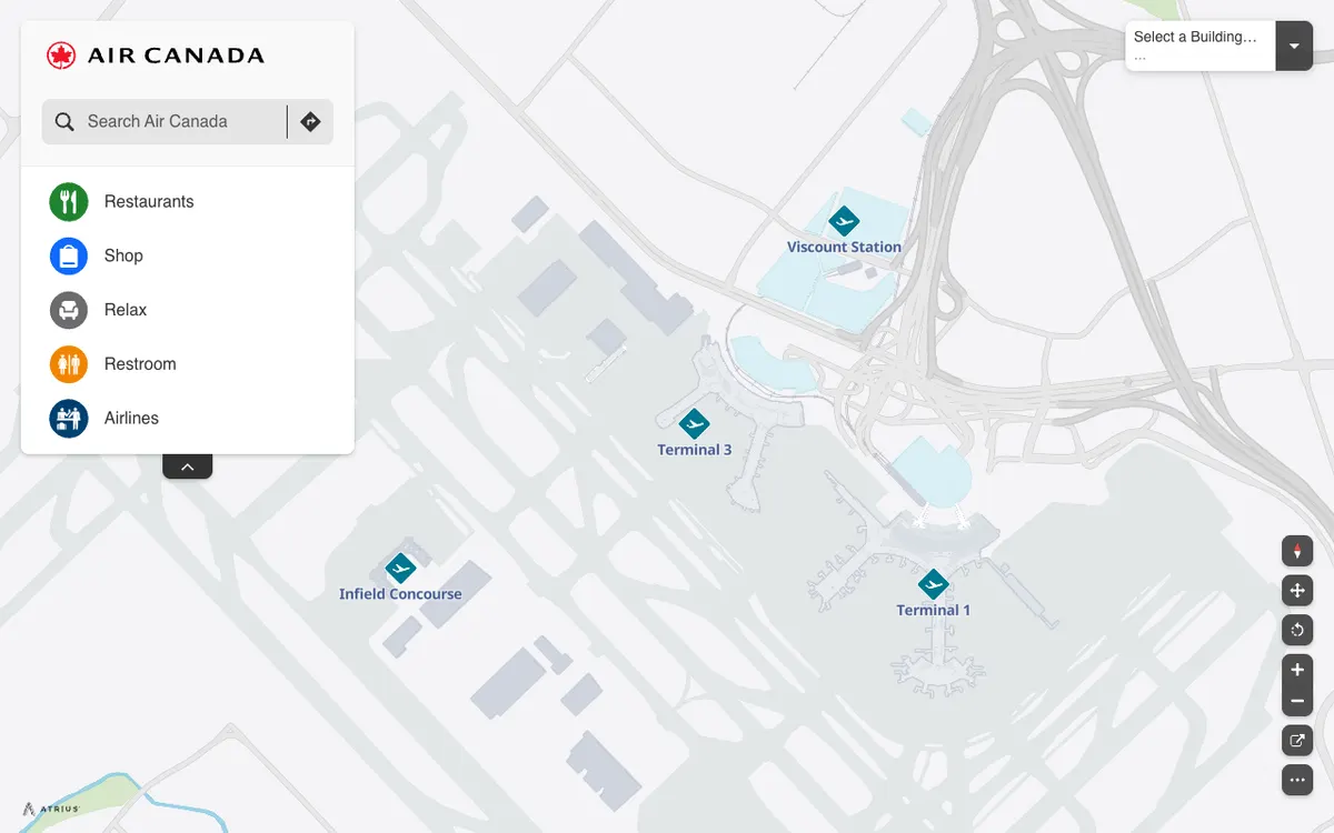

Air Canada Airport Maps
Interactive airport maps from Air Canada that show terminals, restaurants, shops, and restrooms at Toronto Pearson, built on the Atrius (formerly LocusLabs) wayfinding platform.
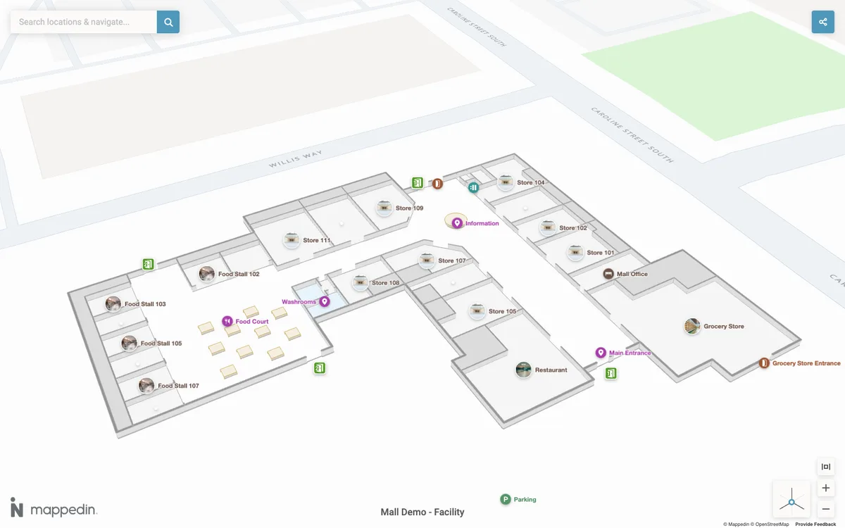

Mappedin
AI-assisted indoor mapping platform for creating indoor maps from floor plans in the Maker editor and adding them to apps with SDKs for web, React, React Native, Android, and iOS.
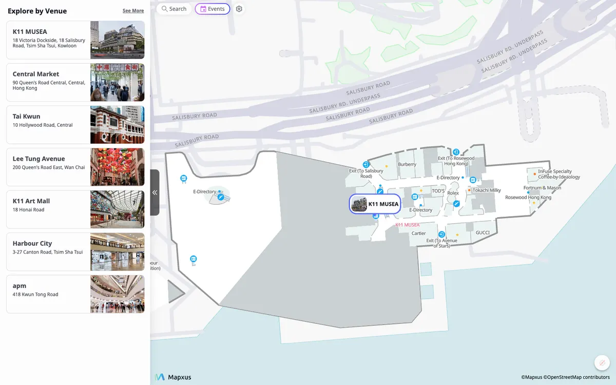

CityGeni
Indoor mapping and wayfinding for smart buildings on the Mapxus platform, which covers 7,500+ venues worldwide with indoor map SDKs for Android, iOS, and web and a real-time positioning API.