


Pharos AI
Real-time geopolitical conflict tracking on an interactive map
Open-source intelligence dashboard for real-time geopolitical conflict tracking, mapping airstrikes, missile tracks, targets, and military assets, with story-driven playback and a public database snapshot every 12 hours.
How Pharos AI uses MapLibre
Pharos AI renders airstrikes, missile tracks, targets, and military assets on a DeckGL plus MapLibre GL JS map with story-driven playback.
What Pharos AI offers you
- Open-source dashboard code under AGPL-3.0, built with DeckGL and MapLibre
- Map stories that play back grouped events as a geographic sequence
- Public database snapshot released every 12 hours on GitHub
- Run it yourself with Next.js, PostgreSQL, and Docker
From github.com, conflicts.app
More gis & analytics products
All gis & analytics →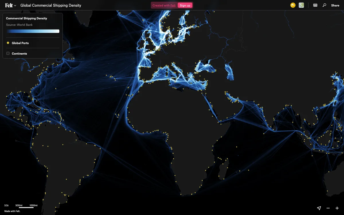

Felt
Cloud-native collaborative GIS for uploading geodata, running spatial analysis, building dashboards, and sharing or embedding maps, all in the browser.
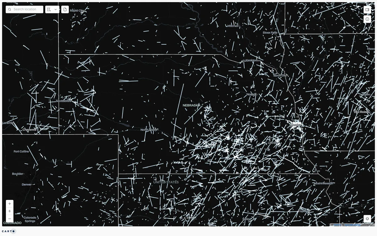

CARTO
Cloud-native location intelligence platform that connects to data warehouses like BigQuery, Snowflake, and Databricks, with Builder for making and sharing maps and drag-and-drop Workflows for spatial analysis.
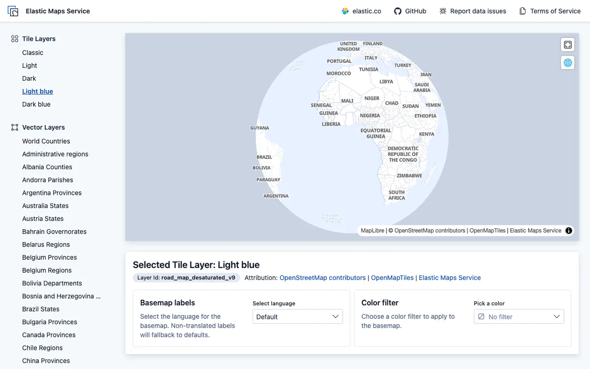

Elastic Maps
Geospatial analytics and visualization tool for interactive data exploration in Kibana, with maps built from Elasticsearch data using vector, heat map, and tile layers.