


Stadtradeln
Made by Stadtradeln
App for an annual German cycling challenge, visualising participants' rides on maps.
How Stadtradeln uses MapLibre
The app visualises rides on maps rendered with MapLibre Native.
More cycling products
All cycling →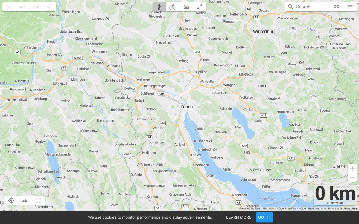

On The Go Map
Route planner for running, cycling, and driving that lets athletes and travelers plot routes with distance and elevation profiles, export GPX files, and embed routes on their own websites.
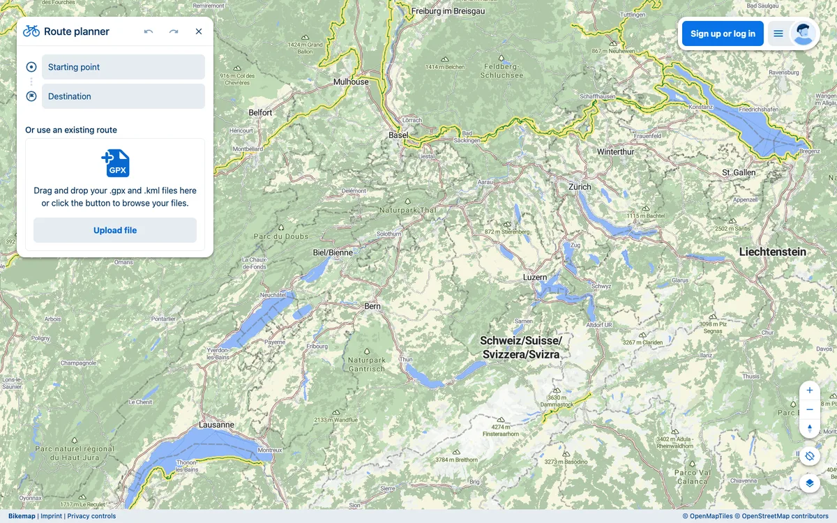

Bikemap
Cycling navigation platform with route planning, GPS tracking, and community features. Routes can be embedded on websites and imported or exported as GPX or KML files.
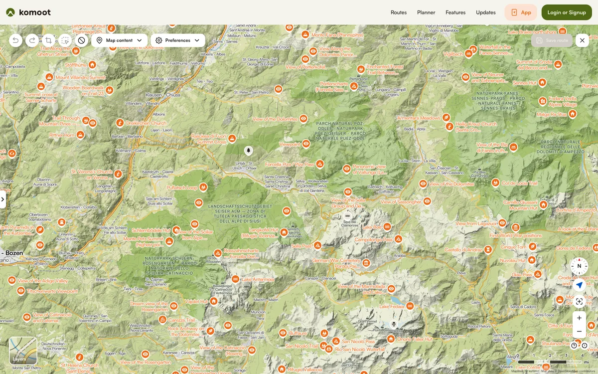

Komoot
Hiking and cycling route planner and tracker with offline maps. Public tours, collections, guides, and highlights can be embedded on other websites.