


Komoot
Made by Komoot
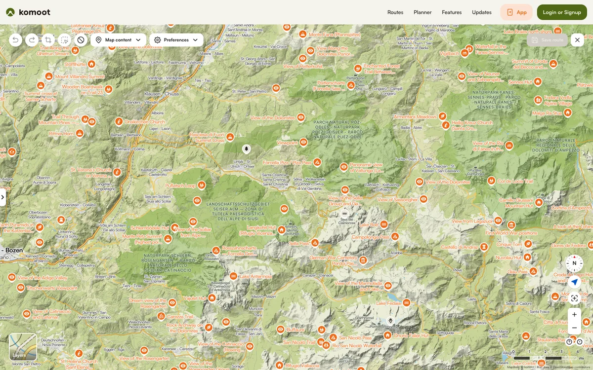
Hiking and cycling route planner and tracker with offline maps. Public tours, collections, guides, and highlights can be embedded on other websites.
How Komoot uses MapLibre
Its offline maps are built on MapLibre, and its maps render with MapLibre GL JS.
What Komoot offers you
- Embed public tours, collections, guides, and highlights on your site
- Embed generator gives an iframe snippet, no account or API key
- Choose layouts such as classic, map only, compact card, or photo strip
- Set the embed language with an hl URL parameter
- Paste a tour URL into WordPress to auto-embed via oEmbed
From komoot.com
More outdoors products
All outdoors →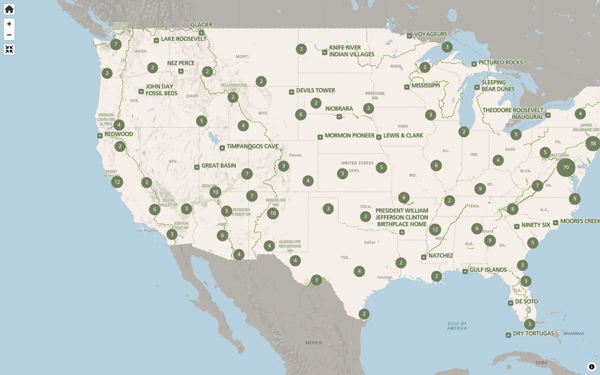

NPS Maps
Park finder and interactive state maps on NPS.gov for exploring America's national parks and planning visits.

LINZ Basemaps
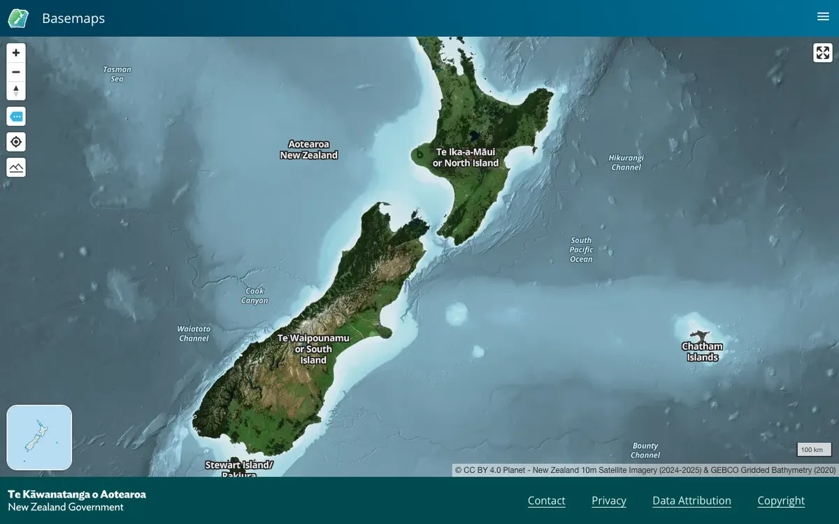
Official New Zealand basemap viewer from Land Information New Zealand, which hosts high-resolution aerial imagery and vector tiles. Tiles are served through XYZ, WMTS, and StyleJSON APIs, with data under CC BY 4.0.

Mapeak
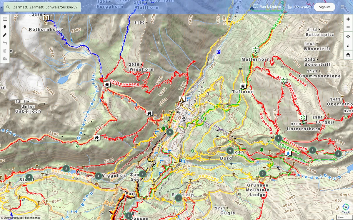
Navigation app for hiking, biking, and running, formerly Israel Hiking Map, with offline maps updated daily and online maps refreshed three times a day. Users can upload images to Wikimedia and contribute to OpenStreetMap.