


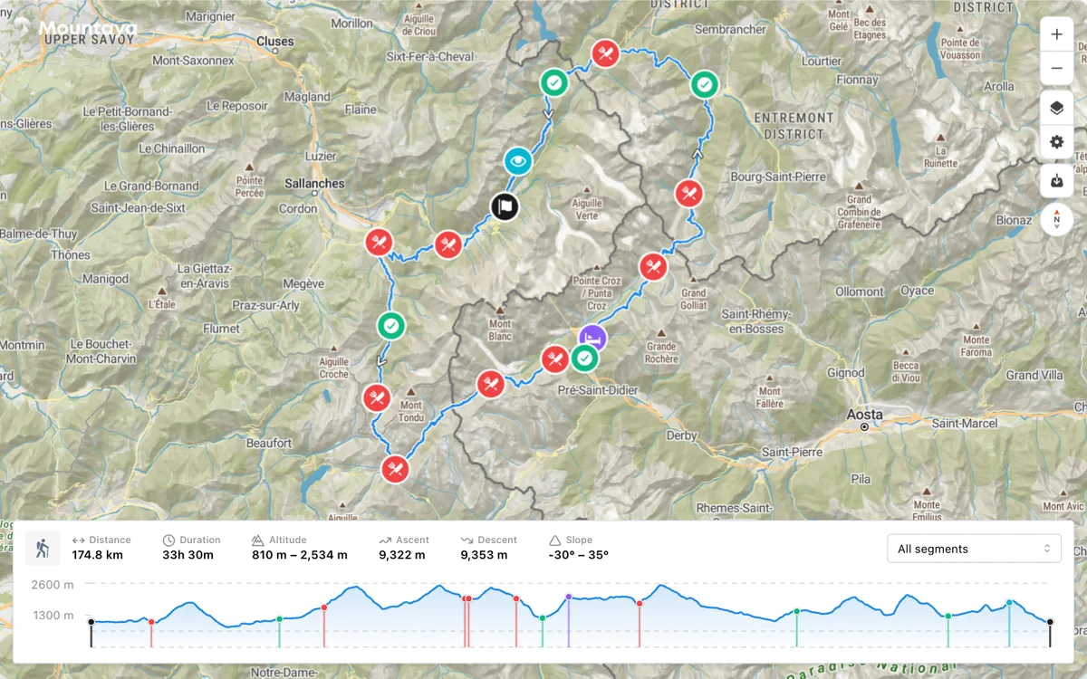
Mountaya offers Map Studio for designing courses and routes with activity-aware routing, elevation, and weather, white-label map embeds, Outdoor Tiles with terrain, slope, weather, and snow layers for MapLibre and Mapbox GL stacks, and a GraphQL API and MCP server for apps and AI agents.
More outdoors products
All outdoors →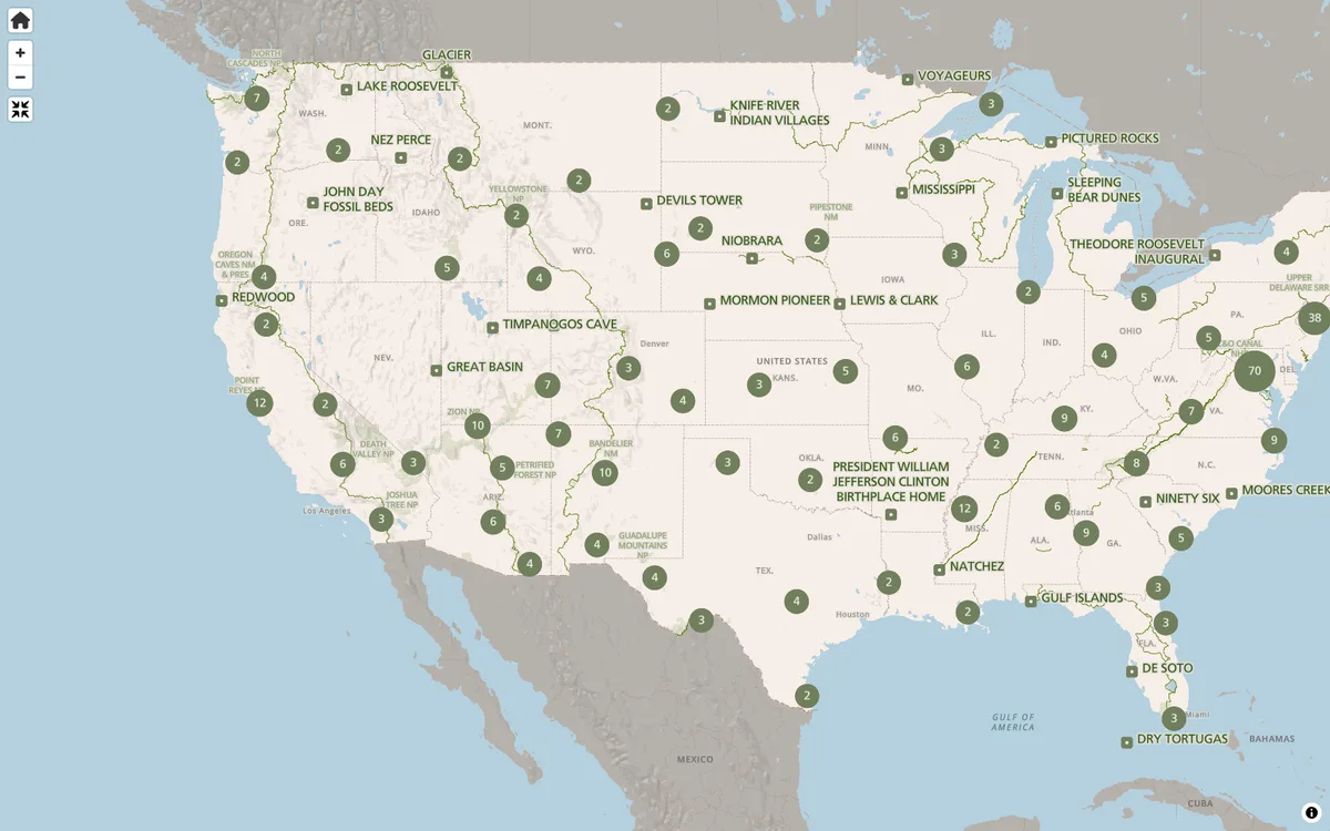

NPS Maps
The NPS.gov park finder and interactive state maps render vector tiles with MapLibre GL JS, helping millions plan their visits each year.
GL JS · Web
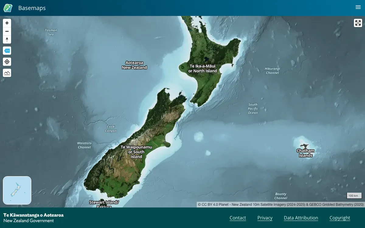
LINZ Basemaps
Land Information New Zealand hosts high-resolution aerial imagery and vector tiles; the public viewer and embed links run on MapLibre GL JS.
GL JS · Web
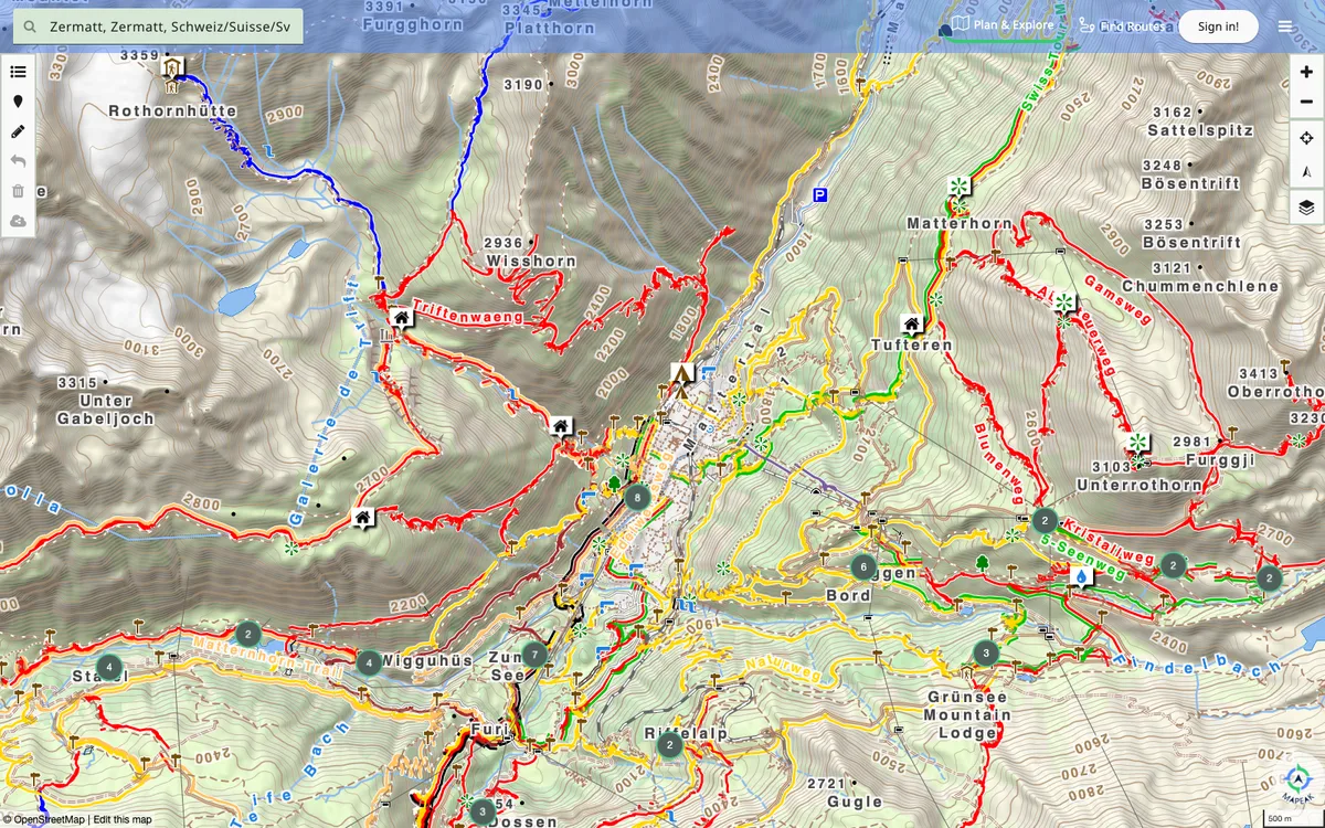

Mapeak
Mapeak, formerly Israel Hiking Map, is a navigation app for hiking, biking, and running with offline maps updated daily and online maps refreshed three times a day. It supports open data by enabling users to upload images to Wikimedia and contribute to OpenStreetMap.
GL JS + Native · Web, iOS, Android