

Nigiwai Topographic Map
Shop and facility density drawn as mountains
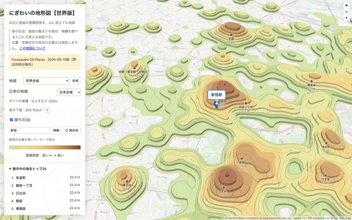
Japanese-language world map that turns the density of shops and facilities registered in Foursquare OS Places into terrain, with colored elevation bands, contour lines, named peaks and stepped 3D mountains. It shows how many places are registered, not foot traffic or sales.
How Nigiwai Topographic Map uses MapLibre
MapLibre GL JS draws the density bands, contour lines, peak labels and 3D steps from PMTiles over OpenStreetMap's raster tiles.
More gis & analytics products
All gis & analytics →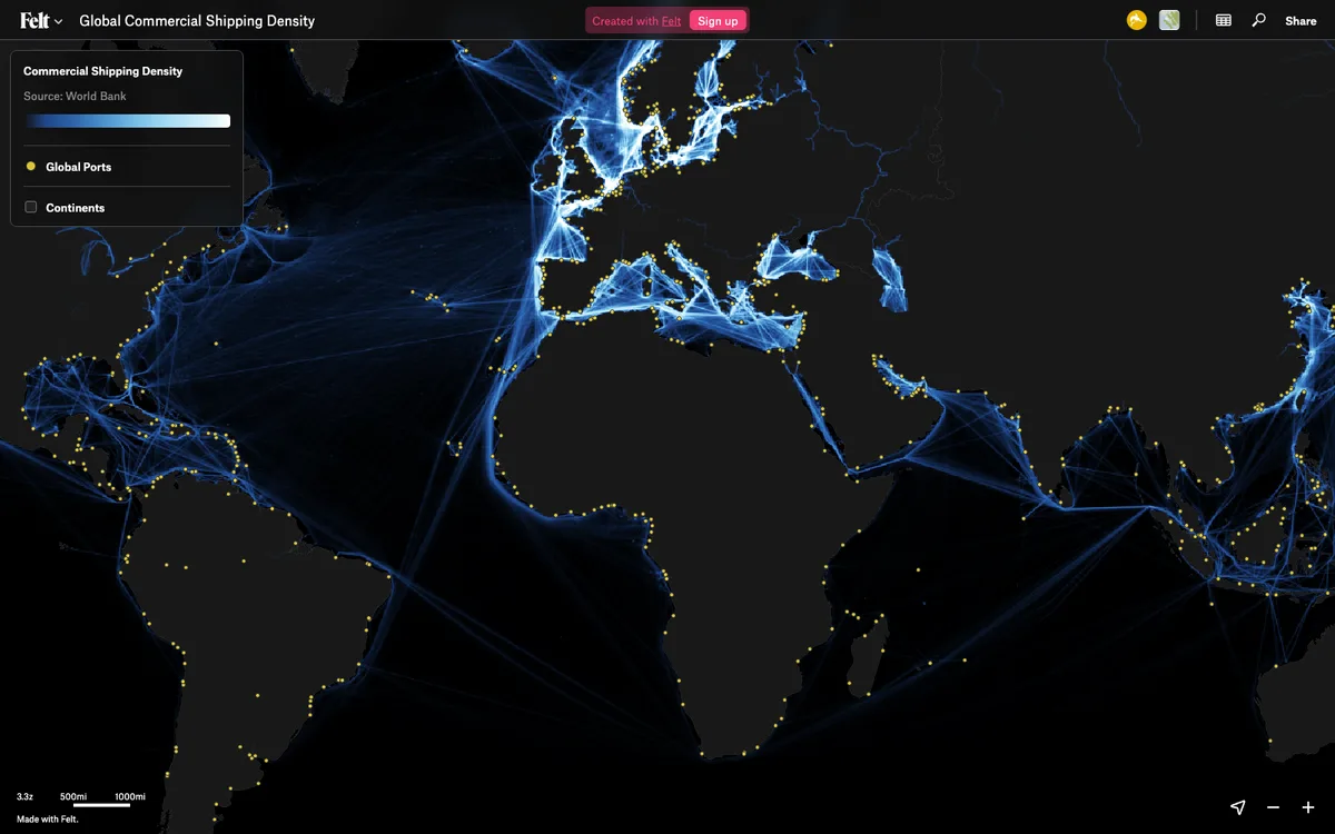

Felt
Cloud-native collaborative GIS for uploading geodata, running spatial analysis, building dashboards, and sharing or embedding maps, all in the browser.
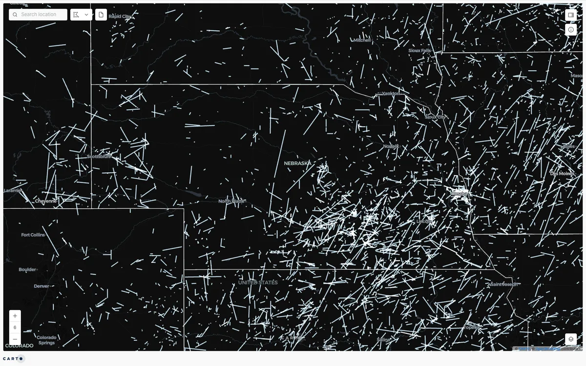

CARTO
Cloud-native location intelligence platform that connects to data warehouses like BigQuery, Snowflake, and Databricks, with Builder for making and sharing maps and drag-and-drop Workflows for spatial analysis.
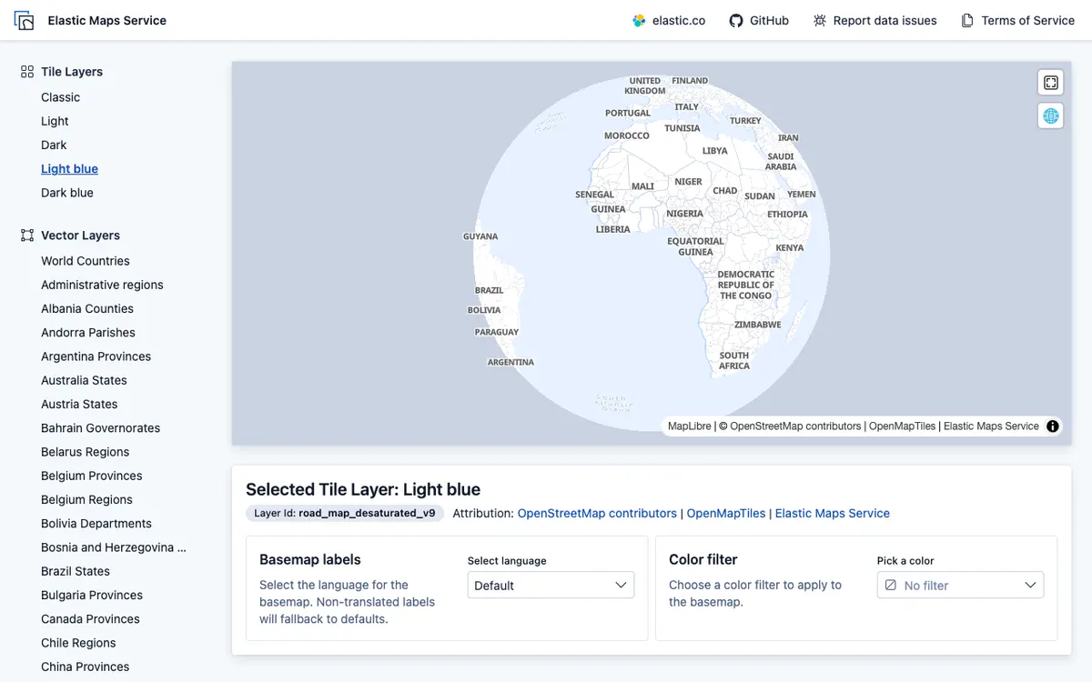

Elastic Maps
Geospatial analytics and visualization tool for interactive data exploration in Kibana, with maps built from Elasticsearch data using vector, heat map, and tile layers.