


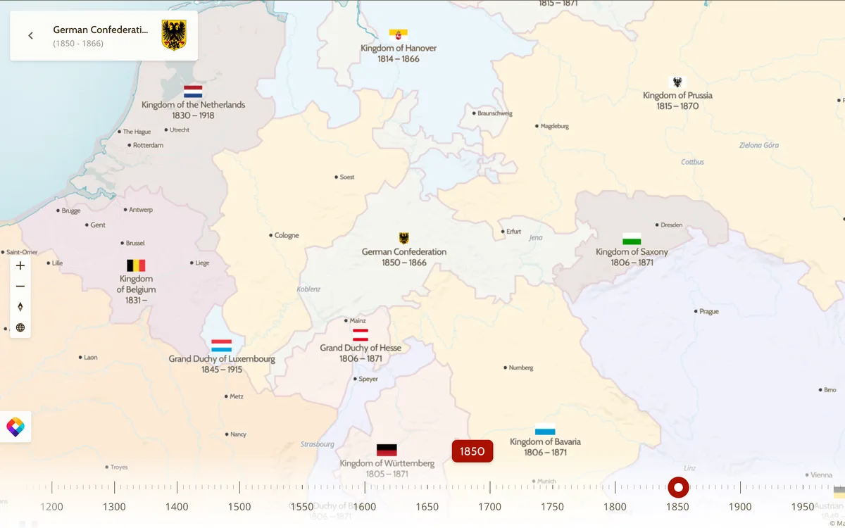
Old Maps Online lets users browse and search hundreds of thousands of historical maps from libraries and archives worldwide. The interactive viewer uses MapLibre GL JS to overlay georeferenced historical maps on a modern basemap with a timeline slider.
More community & geodata products
All community & geodata →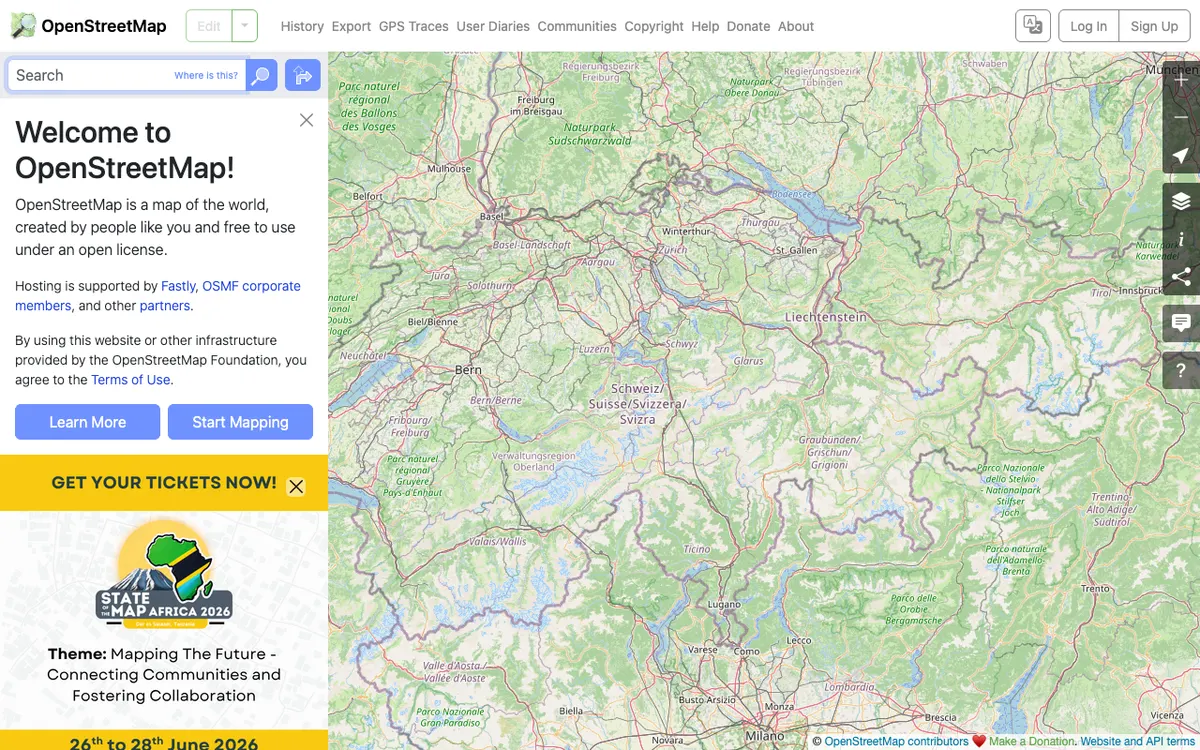

OpenStreetMap
OpenStreetMap.org uses MapLibre GL JS for its vector tile map layer on the web and also runs MapLibre server-side to render raster tiles from vector data, serving millions of map views every day.
GL JS · Web, Server

LINZ Basemaps
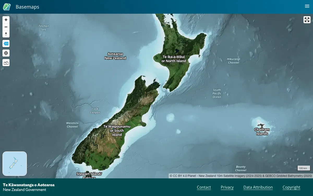
Land Information New Zealand hosts high-resolution aerial imagery and vector tiles; the public viewer and embed links run on MapLibre GL JS.
GL JS · Web

Castlemap
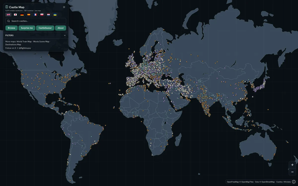
Free interactive map of 9,079 castles, fortresses, palaces and ruins across 155 countries, built from Wikidata, Wikimedia Commons and Wikipedia. It renders a custom day and night style on OpenFreeMap vector tiles with MapLibre GL JS, with Terrarium hillshading.
GL JS · Web