


Radatlas
Every named cycle route in Austria on one map
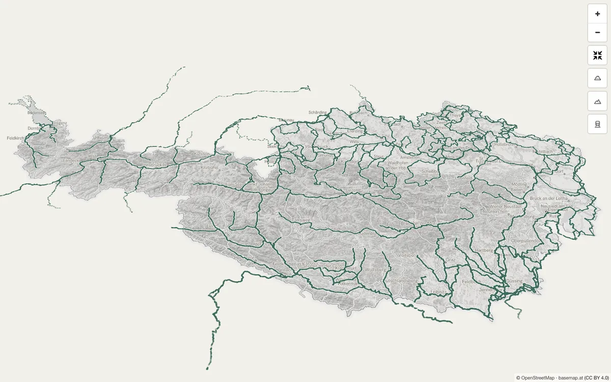
Free atlas of Austria's named cycle routes with stages, elevation profiles, GPX downloads, and an embeddable map, built on OpenStreetMap geometry and Austrian open government data.
How Radatlas uses MapLibre
Its map runs on MapLibre GL JS, with PMTiles route layers over basemap.at.
What Radatlas offers you
- Embed a cycle map around your address with an iframe
- GPX download for every listed Austrian cycle route
- Set embed size, theme, accent color and language
- Embed needs no account and sets no cookies, only attribution
From radatlas.at
More cycling products
All cycling →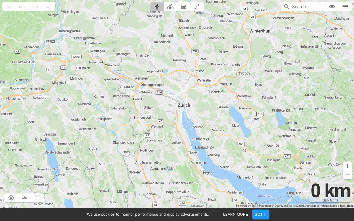
On The Go Map
Route planner for running, cycling, and driving that lets athletes and travelers plot routes with distance and elevation profiles, export GPX files, and embed routes on their own websites.

Bikemap
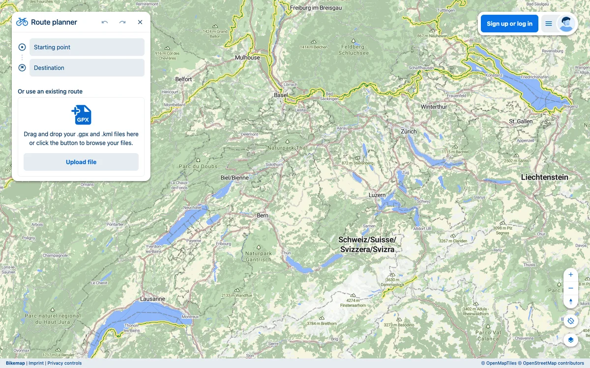
Cycling navigation platform with route planning, GPS tracking, and community features. Routes can be embedded on websites and imported or exported as GPX or KML files.
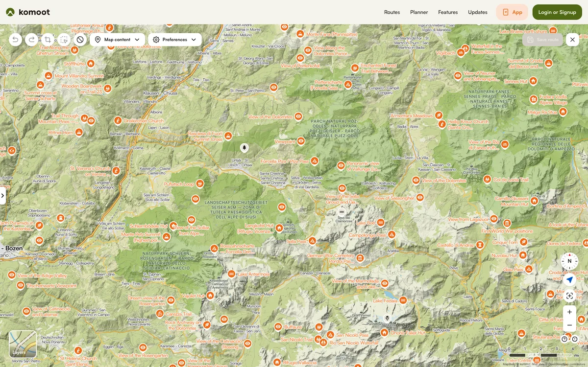

Komoot
Hiking and cycling route planner and tracker with offline maps. Public tours, collections, guides, and highlights can be embedded on other websites.