

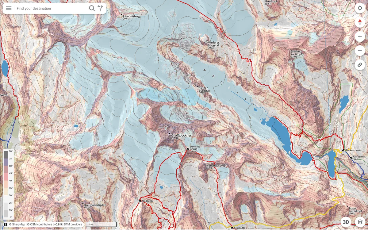
SharpMap is the successor to TatraMap, built by a team of mountain rescuers, guides, and developers led by Łukasz Stempek. It combines high-resolution LiDAR terrain with its own specialist layers (ski-touring lines, climbing approaches, winter route variants), offers one-click presets for activities such as ski touring, climbing, and cycling, and plans routes by difficulty on the Swiss Alpine Club (SAC) scale.
More outdoors products
All outdoors →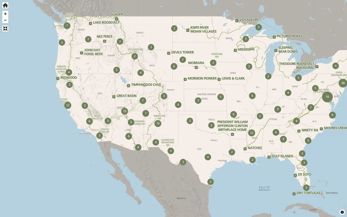

NPS Maps
The NPS.gov park finder and interactive state maps render vector tiles with MapLibre GL JS, helping millions plan their visits each year.
GL JS · Web
LINZ Basemaps
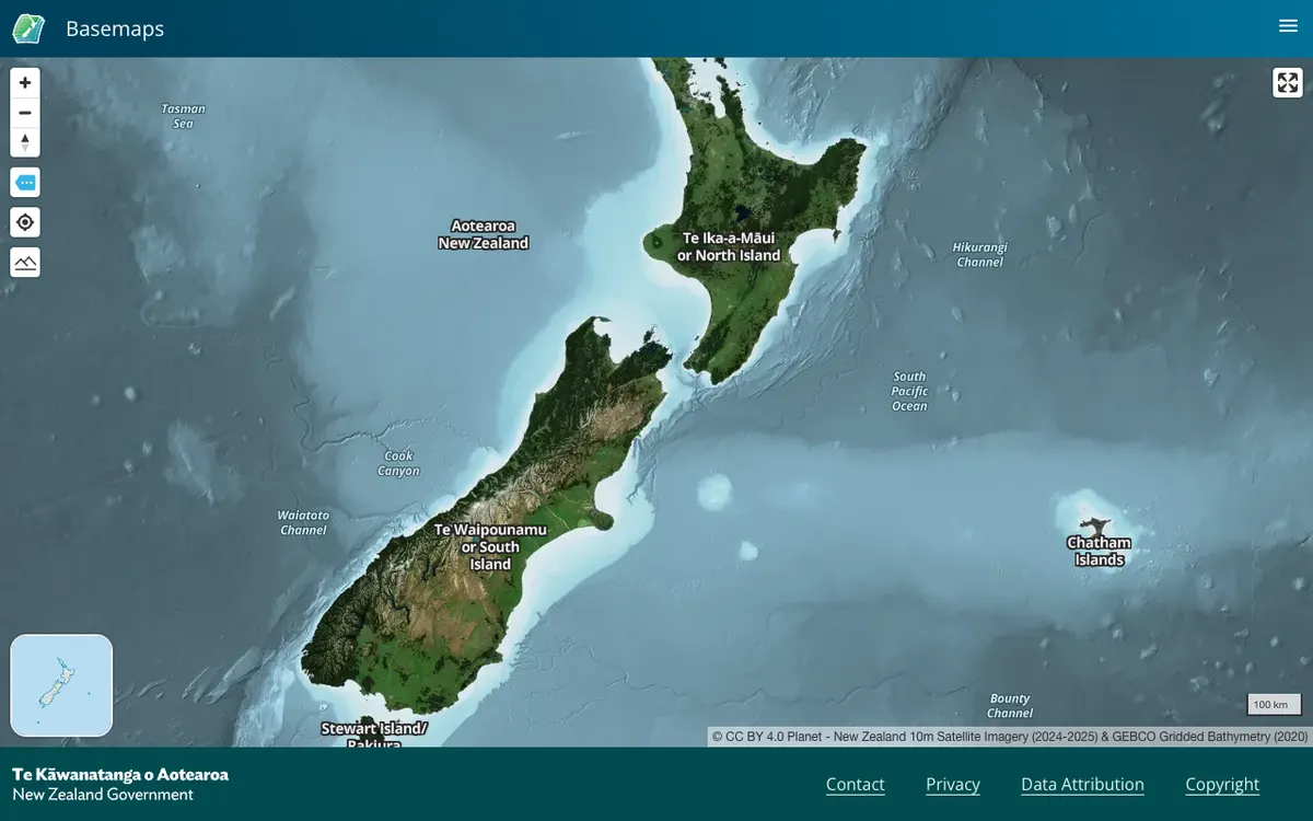
Land Information New Zealand hosts high-resolution aerial imagery and vector tiles; the public viewer and embed links run on MapLibre GL JS.
GL JS · Web

Mapeak
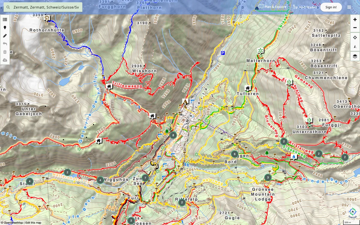
Mapeak, formerly Israel Hiking Map, is a navigation app for hiking, biking, and running with offline maps updated daily and online maps refreshed three times a day. It supports open data by enabling users to upload images to Wikimedia and contribute to OpenStreetMap.
GL JS + Native · Web, iOS, Android