


StreetComplete
Open-source OpenStreetMap editor for on-the-go surveying: users collect missing data on site through simple quests, and edits upload straight to OpenStreetMap. It works offline.
How StreetComplete uses MapLibre
StreetComplete migrated to MapLibre and renders its maps with MapLibre Native.
What StreetComplete offers you
- Open-source under GPL-3.0, code on GitHub
- Collect missing OpenStreetMap data on site through simple quests
- Edits upload straight to OpenStreetMap, and it works offline
From github.com, streetcomplete.app
More community & geodata products
All community & geodata →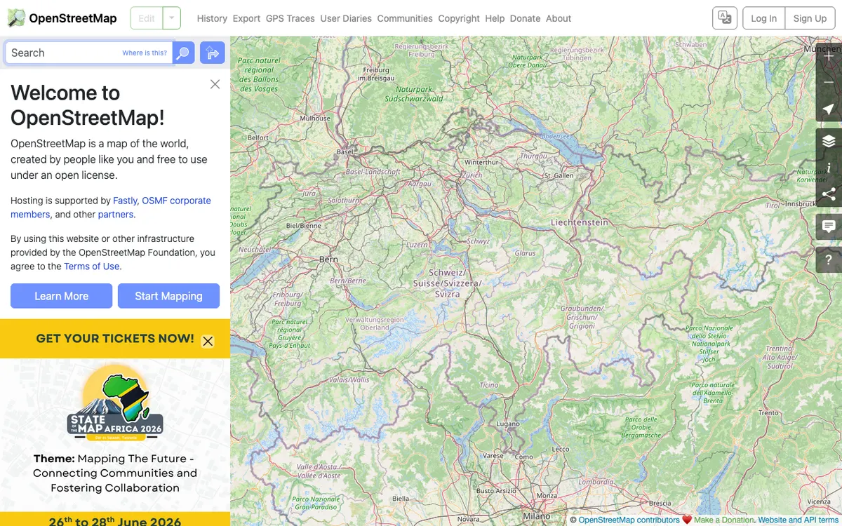

OpenStreetMap
Free wiki world map whose data is available under the ODbL, with whole-planet downloads, Shortbread vector tiles, and an editing API for contributing data back.
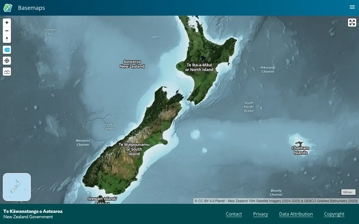

LINZ Basemaps
Official New Zealand basemap viewer from Land Information New Zealand, which hosts high-resolution aerial imagery and vector tiles. Tiles are served through XYZ, WMTS, and StyleJSON APIs, with data under CC BY 4.0.
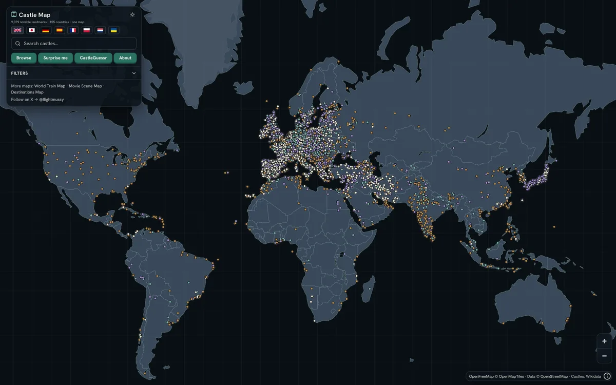

Castlemap
Free interactive map of 9,079 castles, fortresses, palaces and ruins across 155 countries, built from Wikidata, Wikimedia Commons and Wikipedia, with downloadable CC0 data.