


Topographic mapping app with offline maps, for navigating on outdoor adventures without a connection.
How Topo Lock uses MapLibre
Topo Lock uses MapLibre Native for its offline topographic maps and navigation.
More outdoors products
All outdoors →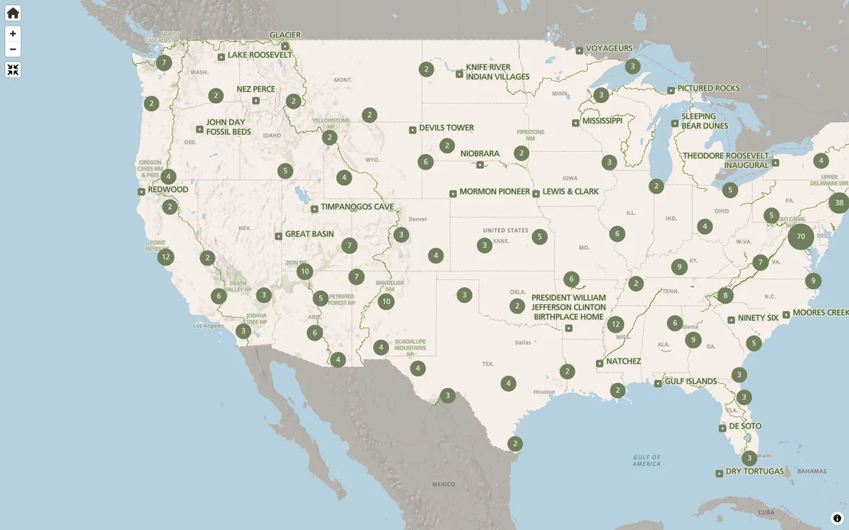
NPS Maps
Park finder and interactive state maps on NPS.gov for exploring America's national parks and planning visits.
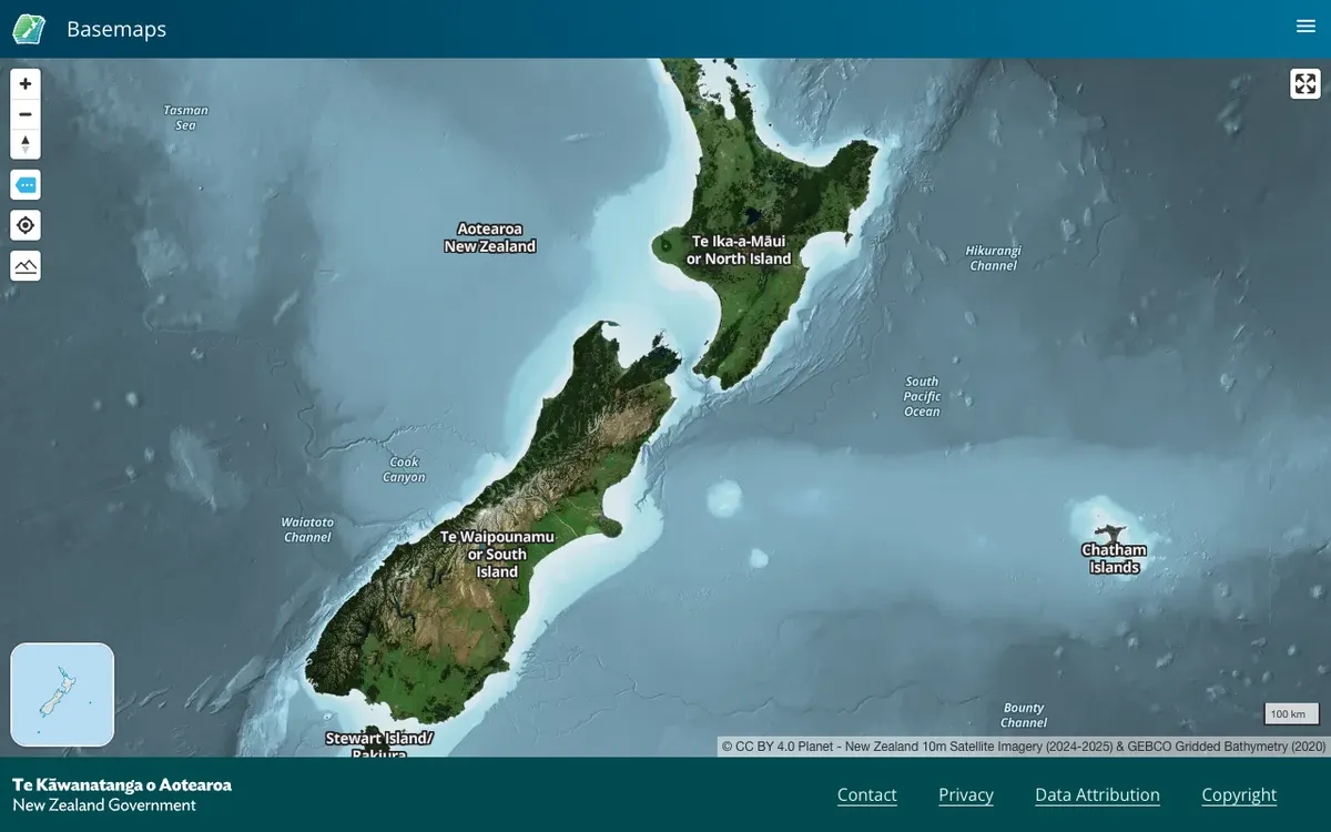

LINZ Basemaps
Official New Zealand basemap viewer from Land Information New Zealand, which hosts high-resolution aerial imagery and vector tiles. Tiles are served through XYZ, WMTS, and StyleJSON APIs, with data under CC BY 4.0.
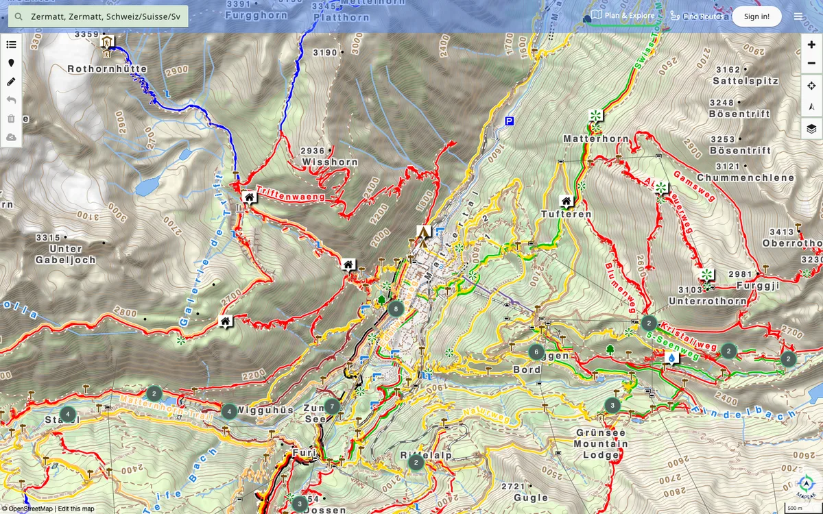

Mapeak
Navigation app for hiking, biking, and running, formerly Israel Hiking Map, with offline maps updated daily and online maps refreshed three times a day. Users can upload images to Wikimedia and contribute to OpenStreetMap.