


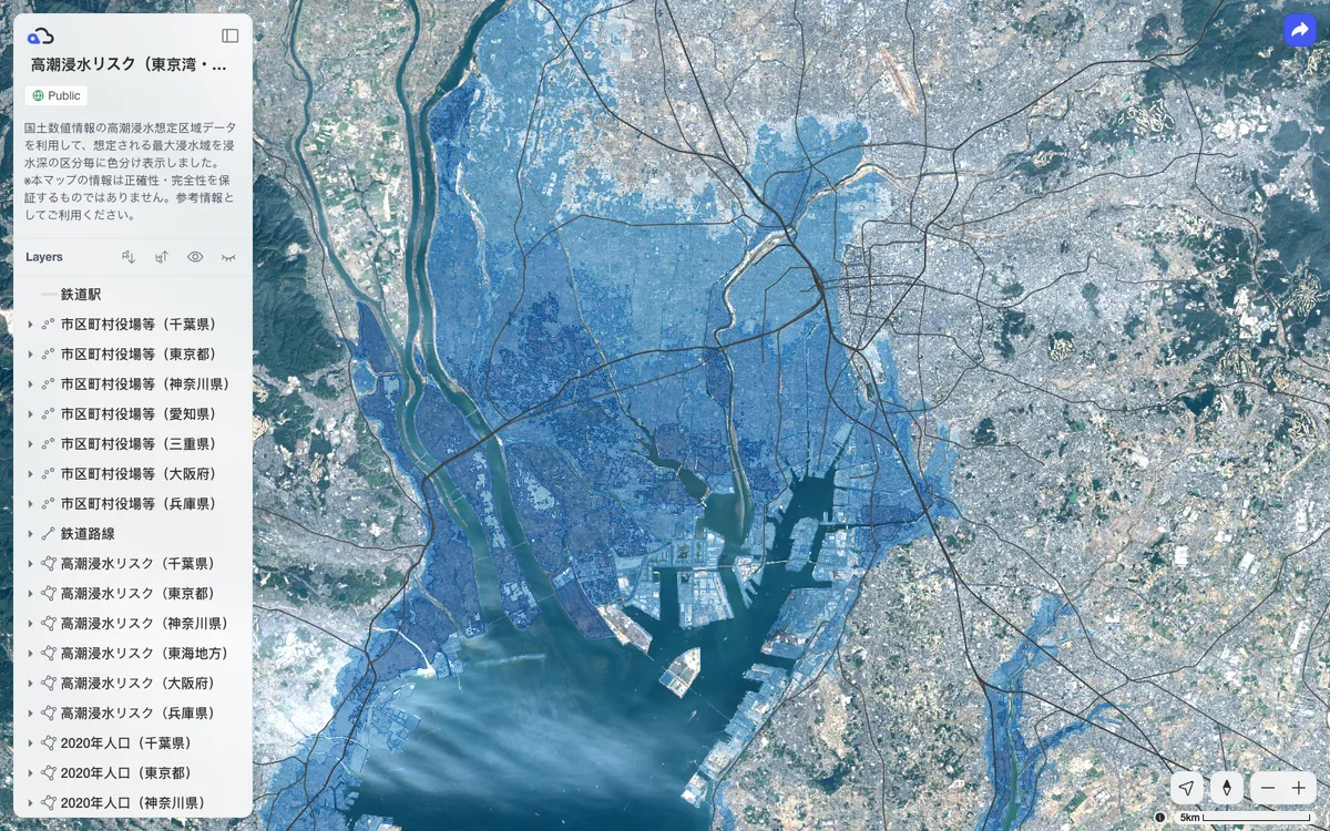
SaaS for QGIS that stores team GIS data in the cloud and publishes maps designed in QGIS to the web, where they can be shared by link or embedded in websites.
How Kumoy uses MapLibre
Kumoy's shared web maps, published from QGIS, render with MapLibre GL JS.
What Kumoy offers you
- QGIS plugin that saves vector and raster data to the cloud
- Publish QGIS maps as interactive web maps that keep supported styles
- Share maps privately, publicly by link, or with a keyphrase
- Embed published maps in websites with copy-and-paste code
- Team projects with access controls, an activity log, and web feature editing
From kumoy.io, docs.kumoy.io
More developer platform products
All developer platform →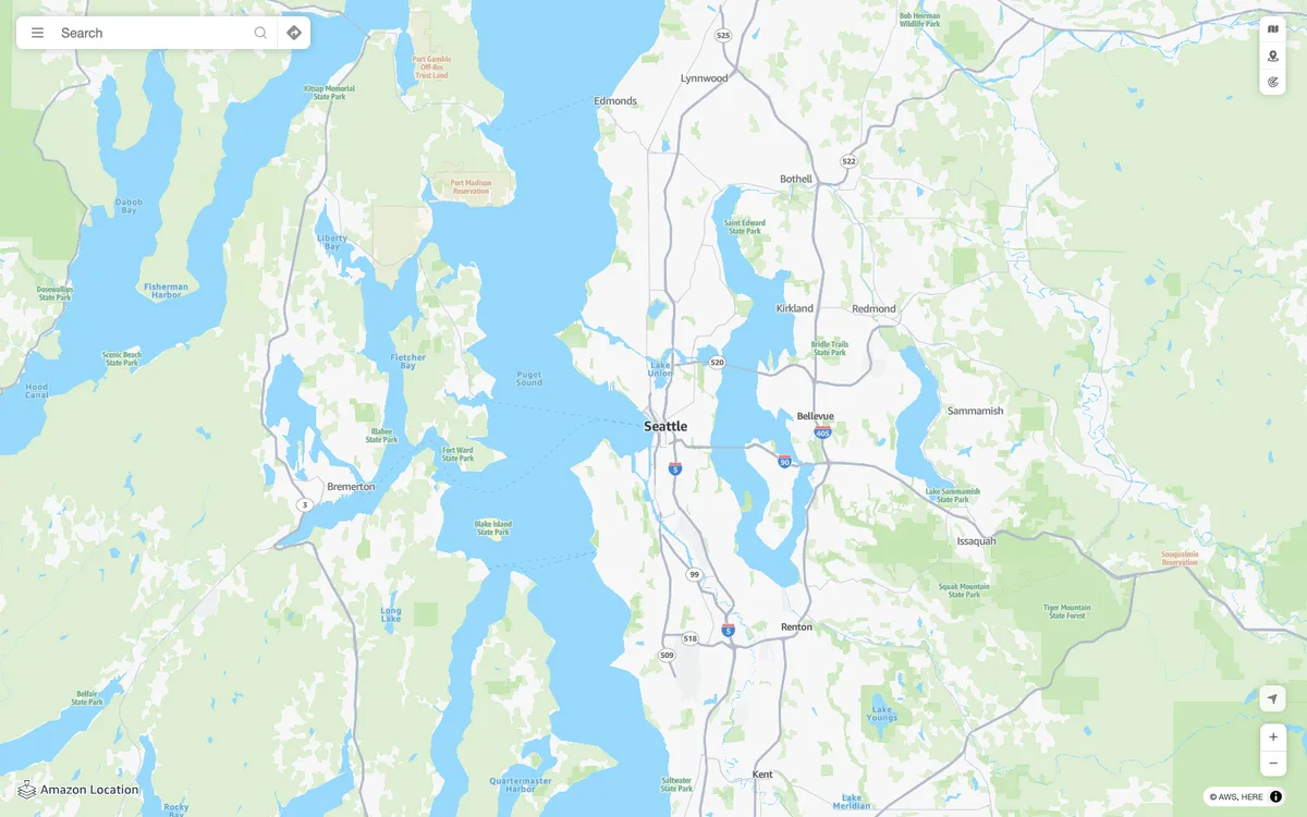

Amazon Location Service
AWS managed mapping platform with map tiles, styles, and static map images, plus geocoding, place search, routing, geofencing, and device tracking APIs.


Azure Maps
Microsoft cloud geospatial services for developers and enterprises, with vector and raster map tiles, satellite imagery, geocoding, routing, and traffic, weather, and geofencing APIs.
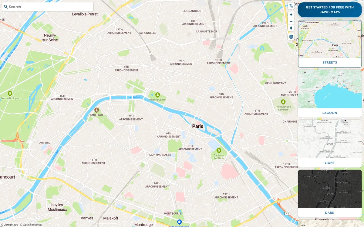

Jawg
French provider of a full location stack: customisable OpenStreetMap-based map tiles, a style editor, and geocoding, routing, elevation, and static map APIs.