


Plantaube
Site plans for architects and urban planners, straight from OpenStreetMap
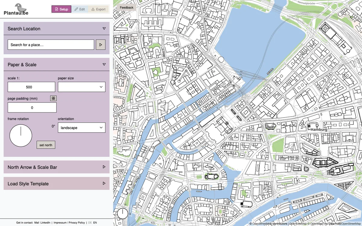
Free browser tool for architects and urban planners that turns OpenStreetMap data into styled, to-scale site plans with building levels, trees, shadows, contour lines, and German ALKIS parcels, exported as PDF, DXF, or GeoJSON. Its editor map runs on MapLibre GL JS with OpenFreeMap vector tiles.
More map making products
All map making →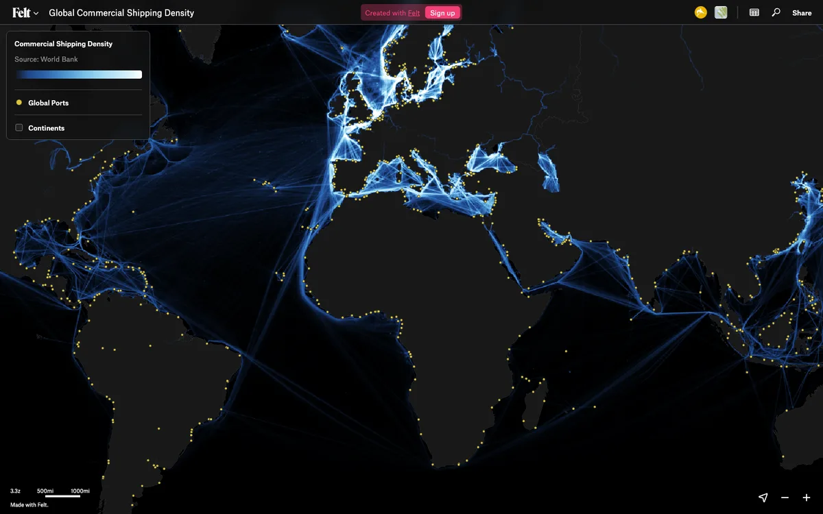

Felt
Felt lets teams upload any geodata, run spatial analysis and build dashboards in the browser. The live map canvas is rendered with MapLibre GL JS.
GL JS · Web · Story

Mapme
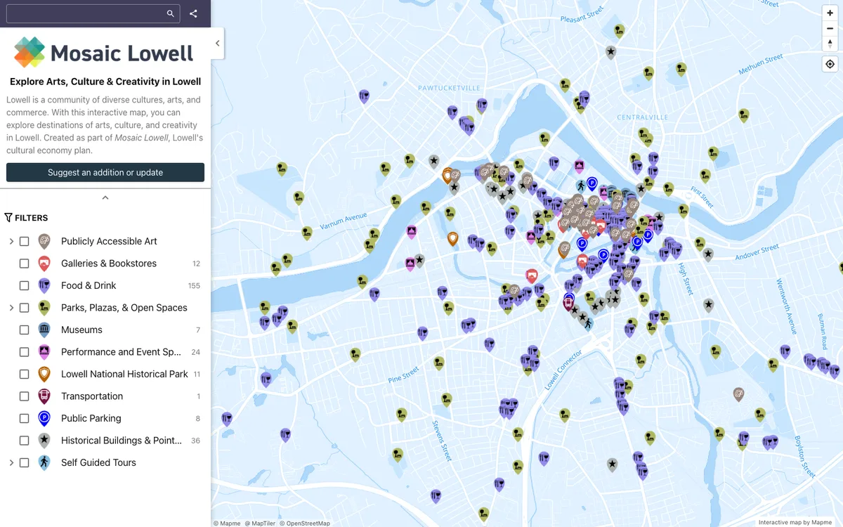
Mapme lets organizations build and embed interactive maps without coding. The editor and published maps are rendered with MapLibre GL JS under the hood.
GL JS · Web

Dear Place
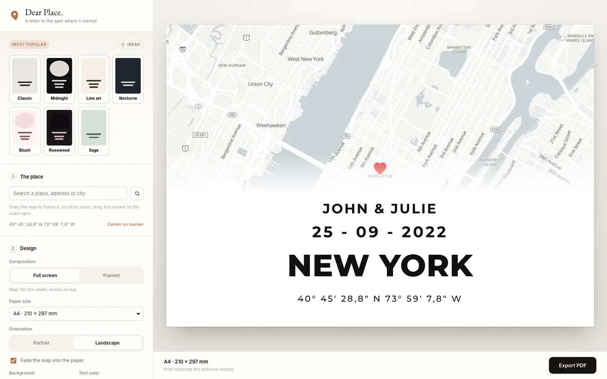
Dear Place turns any place on earth into a print-ready map poster in the browser. The editor draws a live MapLibre GL JS map as a Leaflet layer over OpenFreeMap tiles, and the PDF export renders the same view from an offscreen MapLibre map at print pixel ratio.
GL JS · Web