


Queering the Map
Crowd-sourced platform for pinning queer experiences on a global map
Made by Radical Data
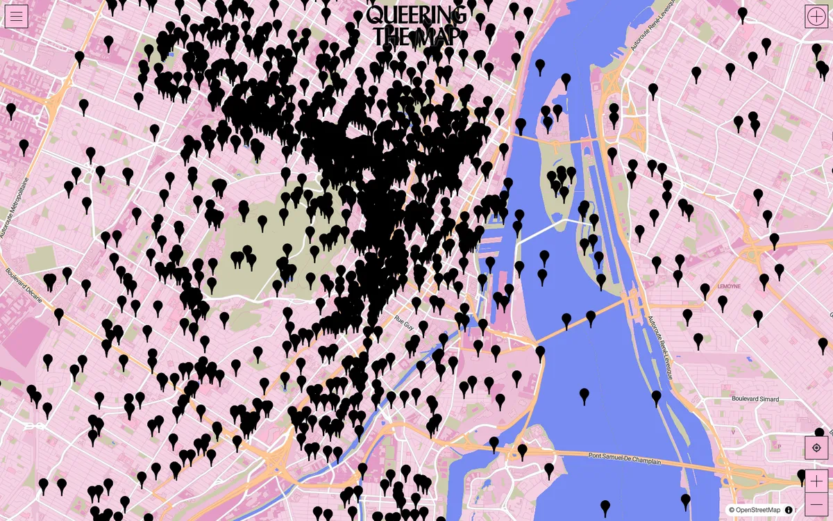
Community platform where people anonymously pin queer experiences on a global map, creating a shared geographic record of LGBTQ+ life and culture. Built with MapLibre GL JS and SvelteKit.
More community & geodata products
All community & geodata →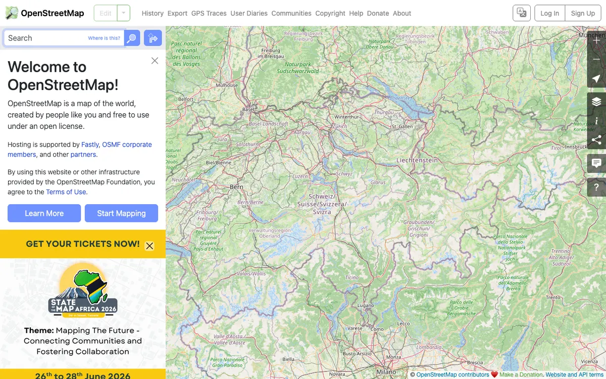

OpenStreetMap
OpenStreetMap.org uses MapLibre GL JS for its vector tile map layer on the web and also runs MapLibre server-side to render raster tiles from vector data, serving millions of map views every day.
GL JS · Web, Server

LINZ Basemaps
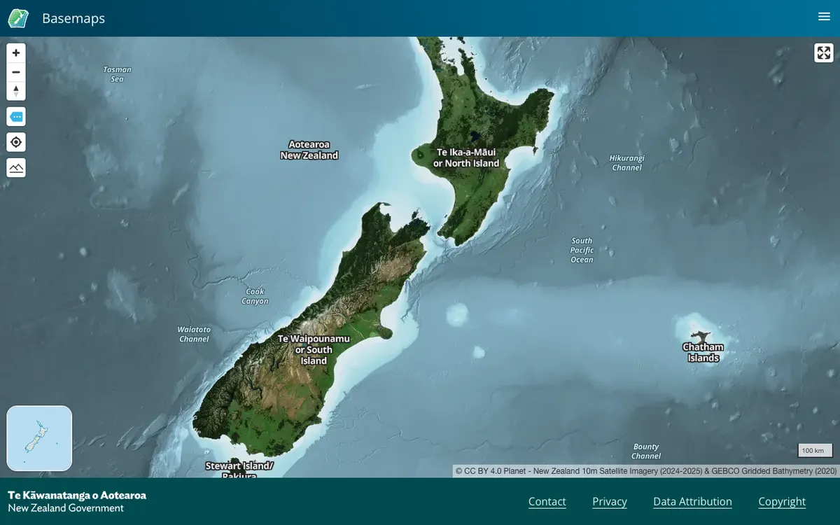
Land Information New Zealand hosts high-resolution aerial imagery and vector tiles; the public viewer and embed links run on MapLibre GL JS.
GL JS · Web

Castlemap
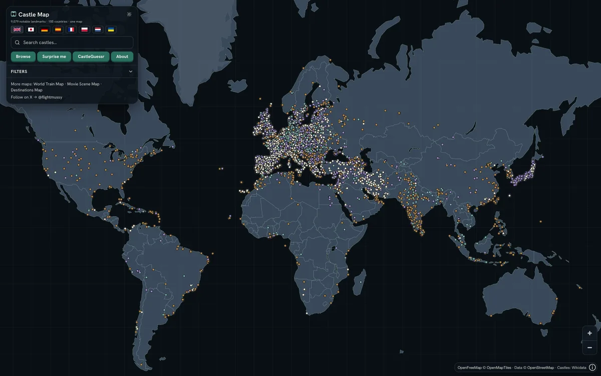
Free interactive map of 9,079 castles, fortresses, palaces and ruins across 155 countries, built from Wikidata, Wikimedia Commons and Wikipedia. It renders a custom day and night style on OpenFreeMap vector tiles with MapLibre GL JS, with Terrarium hillshading.
GL JS · Web