


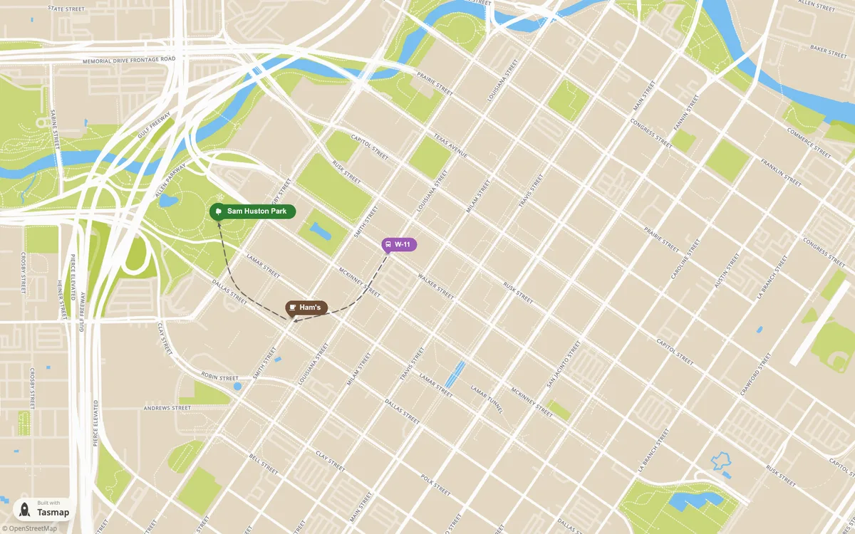
Tasmap is a personal map design tool that helps users create beautiful, interactive maps for various purposes including travel journals, local guides, and data visualization. Founded in 2020 by Eddie, an independent developer from Taiwan, who wanted to combine mapping with storytelling capabilities. The platform offers AI-assisted map creation, customizable themes, and immersive experiences that can be shared like web apps. Built with MapLibre GL JS, it provides a clean interface focused on creative expression without ads or algorithms.
How Tasmap uses MapLibre
Its interactive maps are built with MapLibre GL JS.
What Tasmap offers you
- Import GeoJSON, KML, KMZ, GPX, CSV, TSV, and XLSX files
- 25 map themes, with per-layer control of colors, labels, and roads
- Embed interactive maps on any site, or export PNG, JPEG, or WebP images
- Publish a map as an installable web app with your own icon
- AI places locations from pasted text and builds themes from a prompt or image
From tasmap.app
More map making products
All map making →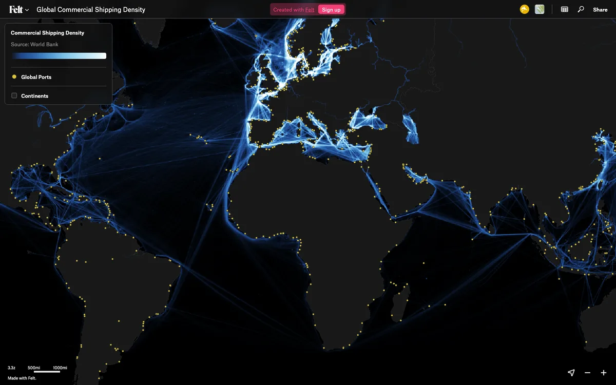

Felt
Cloud-native collaborative GIS for uploading geodata, running spatial analysis, building dashboards, and sharing or embedding maps, all in the browser.
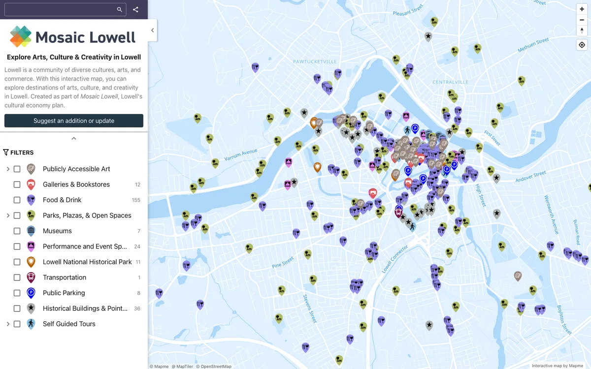

Mapme
No-code builder that lets organizations create and embed interactive maps, importing locations from Excel, CSV, or Google Sheets and overlaying site plans, floor plans, or drone shots.
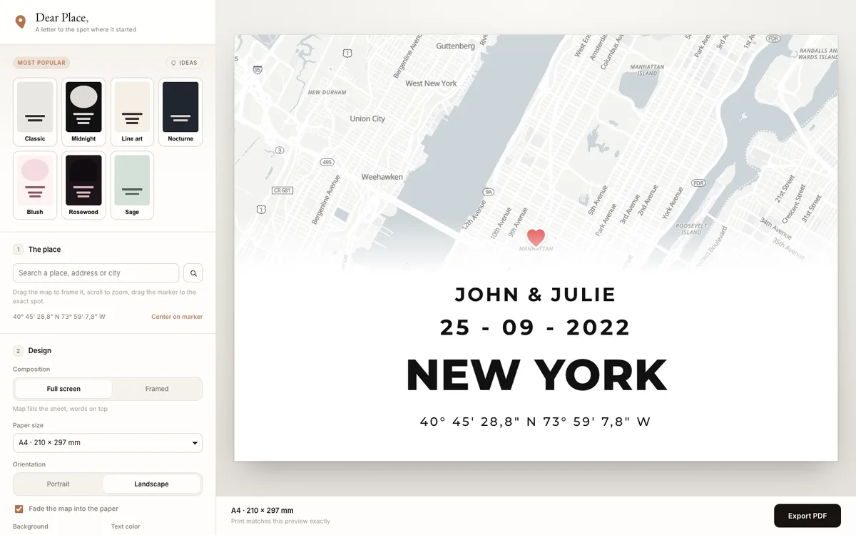

Dear Place
Browser-based editor that turns any place on earth into a print-ready map poster, with PDF export.