


The official MapLibre Native iOS SDK offers iOS developers direct access to MapLibre Native capabilities. Built for Swift and Objective-C, it provides high-performance vector map rendering, offline map support, and comprehensive mapping features without requiring additional frameworks.
Quick start
Swift Package Manager: https://github.com/maplibre/maplibre-gl-native-distribution (product "MapLibre", version 6.31.0, Up to Next Major)import MapLibre
import SwiftUI
struct SimpleMap: UIViewRepresentable {
func makeUIView(context _: Context) -> MLNMapView {
let mapView = MLNMapView(
frame: .zero,
styleURL: URL(string: "https://tiles.openfreemap.org/styles/liberty")
)
mapView.setCenter(CLLocationCoordinate2D(latitude: 20, longitude: 0), zoomLevel: 2, animated: false)
return mapView
}
func updateUIView(_: MLNMapView, context _: Context) {}
}
struct ContentView: View {
var body: some View {
SimpleMap().ignoresSafeArea()
}
}›Setup noteschecked with v6.31.0
The latest release is 6.31.0 (2026-09-11). In Xcode, choose File > Add Package Dependencies, paste the URL and add the MapLibre library product. The official Getting Started guide covers SwiftUI (a UIViewRepresentable around MLNMapView) and UIKit (a UIViewController). The MLNMapView(frame:styleURL:) and setCenter(_:zoomLevel:animated:) calls follow the official Swift examples, and those examples use this exact OpenFreeMap Liberty URL (ExampleStyles.md). Without a styleURL, the map shows the MapLibre demotiles style. The package is also on CocoaPods (pod 'MapLibre'), where the newest version is currently 6.30.0. The podspec sets the iOS deployment target to 15.5.
Also for iOS: MapLibre SwiftUI DSL. Other platforms are on SDKs.
Used by 53 products
See all →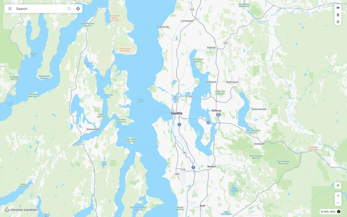

Amazon Location Service
AWS managed mapping platform with map tiles, styles, and static map images, plus geocoding, place search, routing, geofencing, and device tracking APIs.
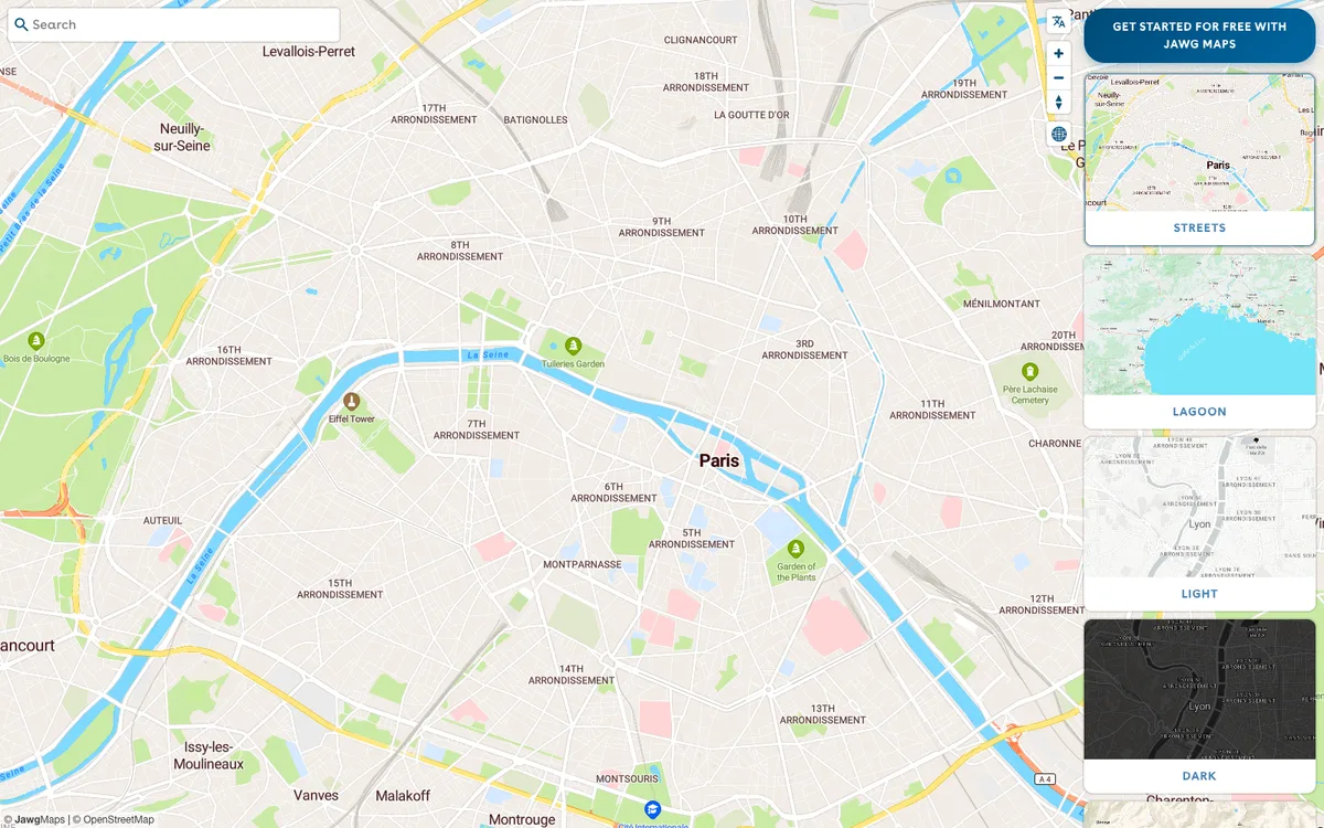

Jawg
French provider of a full location stack: customisable OpenStreetMap-based map tiles, a style editor, and geocoding, routing, elevation, and static map APIs.
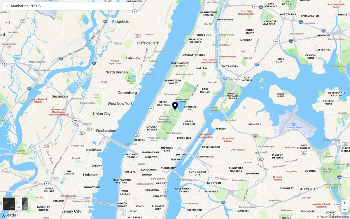

Radar
Geofencing and maps platform with map styles, a Maps Studio style editor, and geocoding, place search, and routing APIs.
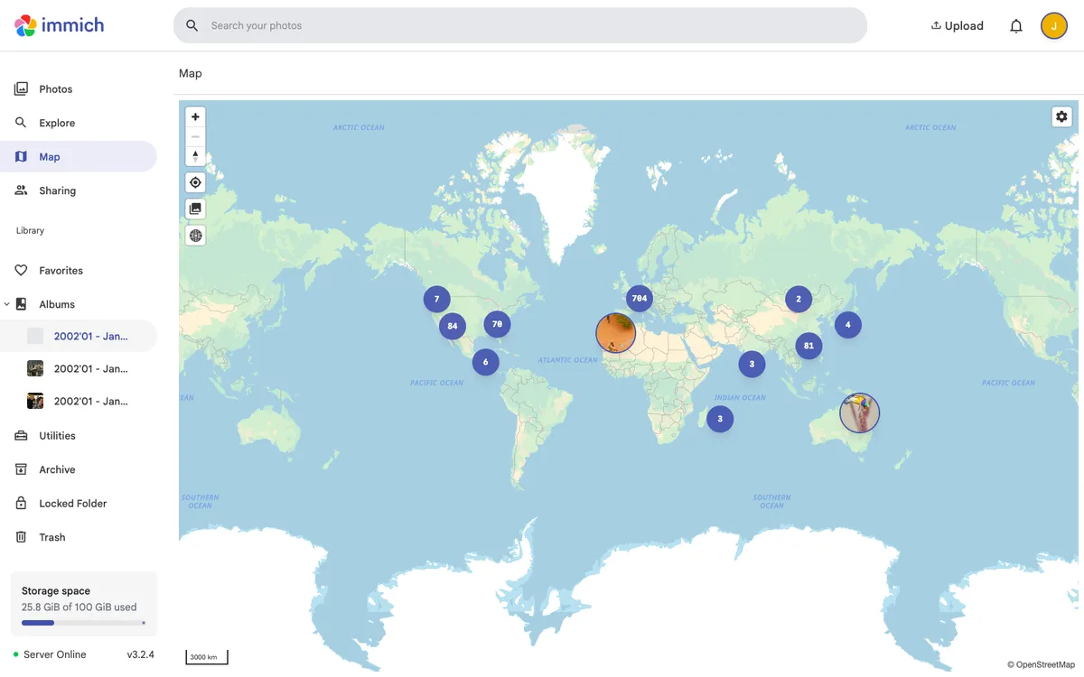

Immich
Self-hosted, open-source photo and video backup and management solution, with web and mobile apps, a map of geotagged photos, and a REST API with TypeScript and Dart SDKs.
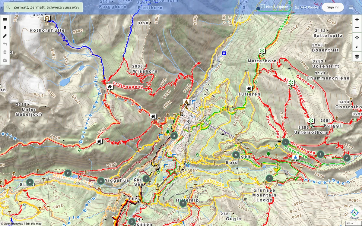

Mapeak
Navigation app for hiking, biking, and running, formerly Israel Hiking Map, with offline maps updated daily and online maps refreshed three times a day. Users can upload images to Wikimedia and contribute to OpenStreetMap.
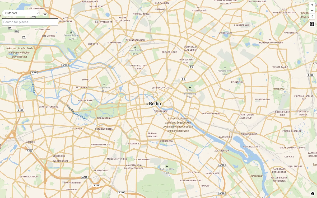

Stadia Maps
Location API provider for developers, serving global vector and raster map tiles in Alidade, Stamen, and OSM Bright styles, plus geocoding, routing, and elevation APIs, SDKs, and on-premises deployment.